Miles 15; Elevation gained 1,900
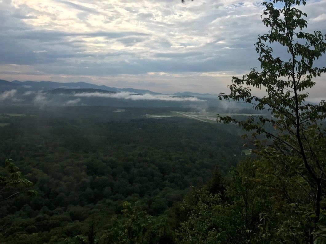
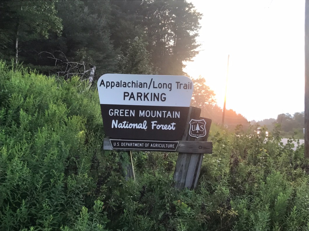
Ok, full disclosure: I am writing this in a room at a Days Inn in Rutland. The day started with Cliff realizing he had a blister on his little toe, so set up a MASH unit and taped it up. We then trudged up to White Rocks overlook for lunch, and down to Rt 140. There had been thunder in the distance on our descent, and it got closer as we headed up Baker Peak, a 1,000 ft climb. About halfway up there was a tremendous thunder clap that seemed to rip a hole in the sky and it came down even harder than Friday. The trail turned into a stream and we were waterlogged again. After wringing out a bit at the next shelter, we resolved to push to the next one across Clarendon Gorge. We picked our way down over wet roots and rocks to gorge and its suspension bridge. It was 7:00 and we were beat. Couldn’t deal wi the mile up the other side, and we’re pretty sure we had wet bags. Looked for a tent site by the river until Cliff mentioned there was a Days Inn and other lodging 5 miles away in S. Rutland. We called a taxi and here we are. Good move, though we now have 17.5 miles tomorrow, a distance which includes the 4,000 foot Killington Peak. Went to a Ground Round for dinner. Packed away at least 2,500 calories. Will need every one.