
Miles: 7; Elevation gained 1,400 ft
One year on, we have returned to seal the deal. Cliff and I drove to Waterbury, left the car for Marcia to pick up on Tuesday, and paid thru the nose to be taken by taxi (why is the rural version of this biz so friggin expensive?) to the top of Mansfield, where we left off last year. I’ll be honest: we are not in hiking shape. Last year we did a bunch of practice hikes, even one overnight on Killington with all our gear to check that everything worked, we got used to the pack weight, and so on. This year, nothing. I figured it’s only 68 miles to the border, and heck we already hiked 204!
You probably already see the hubris and delusion in such thinking. Last year, we had JUST hiked 204 and we were literally built for it at that point. All our bodies had known for 20 days was waking up and walking, which shed unnecessary fat AND muscle – ie., any muscle that was not used for the express purpose of carrying weight up and down mountains. Jump forward 12 months, and, well, we are not built-for-purpose hiking machines. In fact, it probably doesn’t take too much couch time to revert to form.
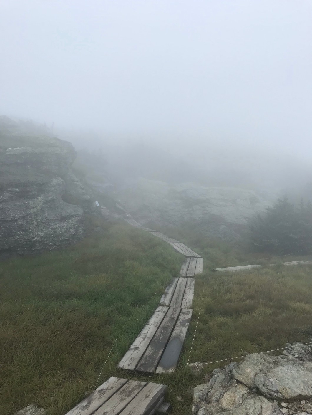
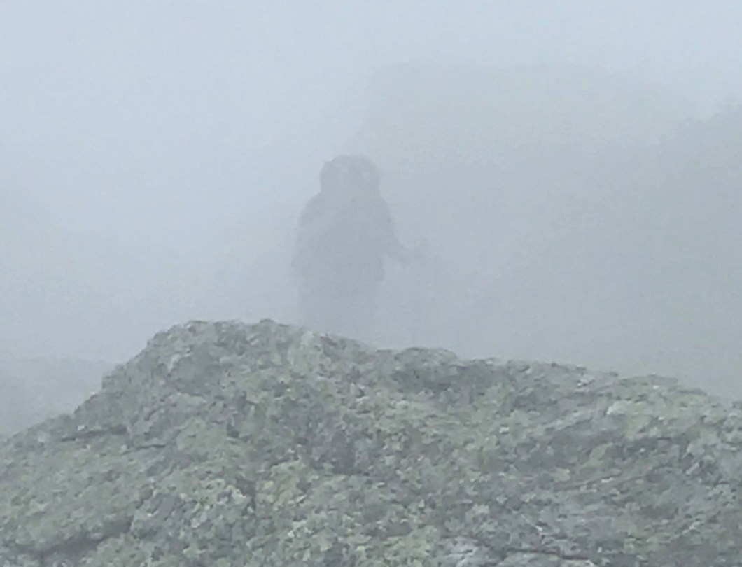
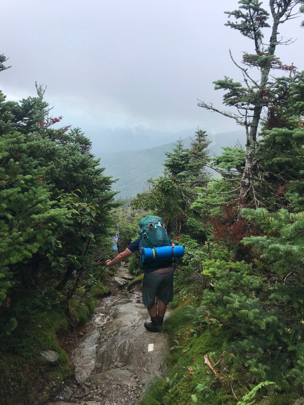
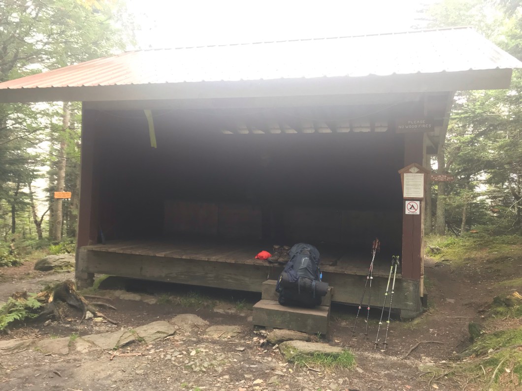
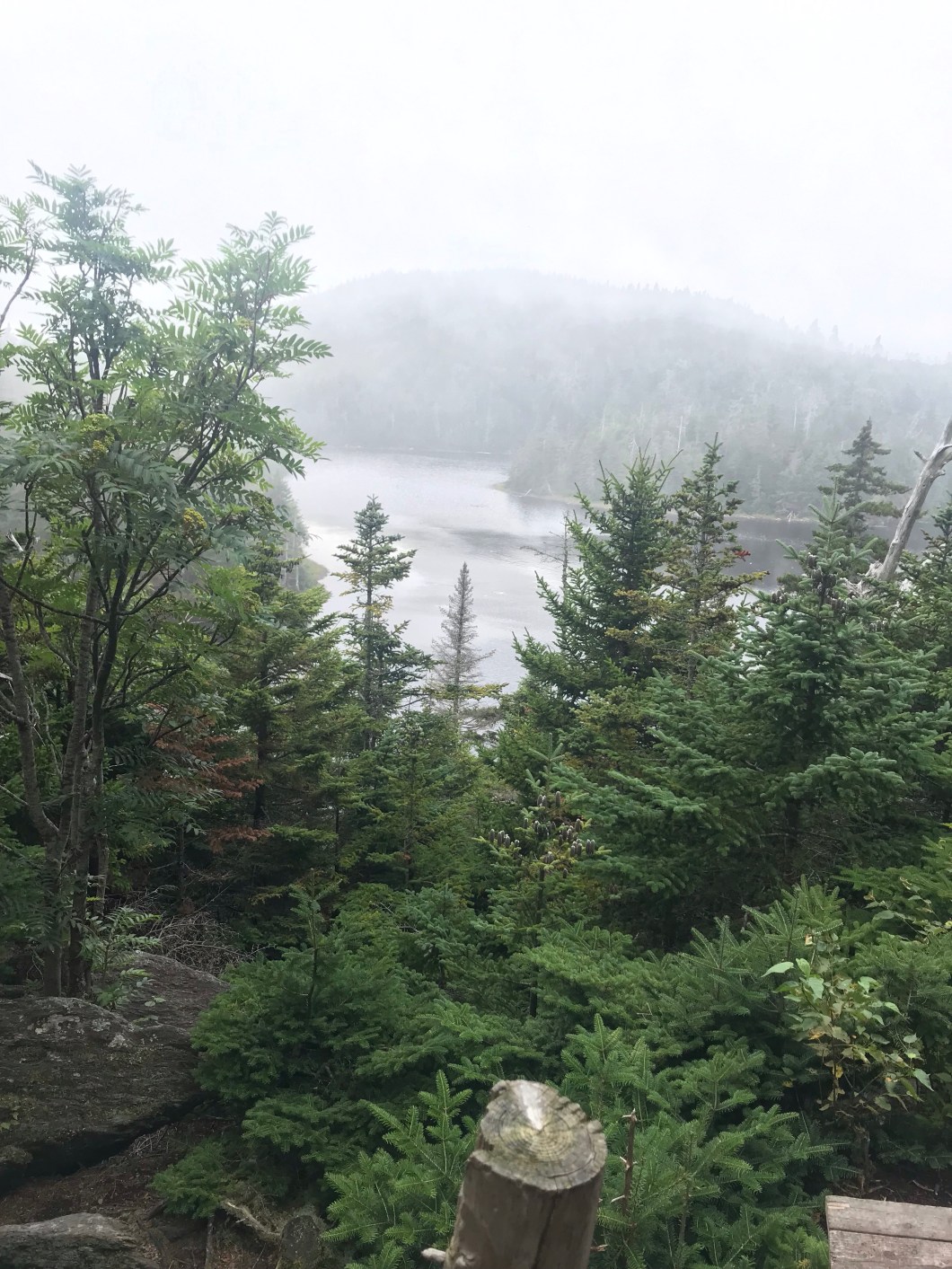
Where I’m going with this is that things would have been different if we had started, like last year, in S VT – it’s a lot mellower and you can break the body in and prep it for the tough stuff further north. On Thursday, August 22nd, we started with what might be the toughest descent on the entire trail – off of the Chin and down to the bottom of Smugglers Notch. As all hikers know, descending steep rock ledges is much trickier than ascending, and we were doing it with full packs in fog, which, combined with the recent rain, made it slippery. We picked our way down deliberately, and when we got to the road, ready to ascend the north side of the Notch, it was already 3:00, and our knees, feet, and quads were toast. I’ll cut the whining short by saying we arrived at Sterling Pond, our first overnight, at 7:00, with sun already behind the ridge. That’s 3 miles in a bit less than 4 hours. That’s 7 miles on Day 1, with 5 days remaining to go 67 miles. As we wedged our cramping frames into our bags, we told ourselves we’d done the gnarliest bit, and we’d hit it fresh in the morning.
One word about the Smugglers Notch area. It’s a deep, dramatic gash cut into the Green Mountain range, with Rt 108 snaking through the bottom between house-sized boulders that are literally inches from the road. Trucks and RV’s are not allowed as they’d be wedged in trying to make the hairpin turns between the rocks. On the west side of the Notch is Mansfield and Stowe ski resort; on the east, it’s Sterling Mountain (Spruce Peak if you work for Stowe) and Smugglers Notch resort. On the south is the village of Stowe; to the north is Jeffersonville. Yours truly lived on the north side, and learned to ski at Smugs, which was then called Madonna Mountain (so named for the highest peak among the three at the resort). The name’s origin dates to 1807, when Jefferson places an embargo on the import of British and Canadian goods, which was inconvenient for the locals, and caused them to smuggle goods thru the Notch. Supposedly, liquor was brought through it from Canada during Prohibition. The road wasn’t built till the early 1800’s. In high school we used to make runs up to Canada to buy the stronger beer up there, thus making a valuable contribution to the name. Not. 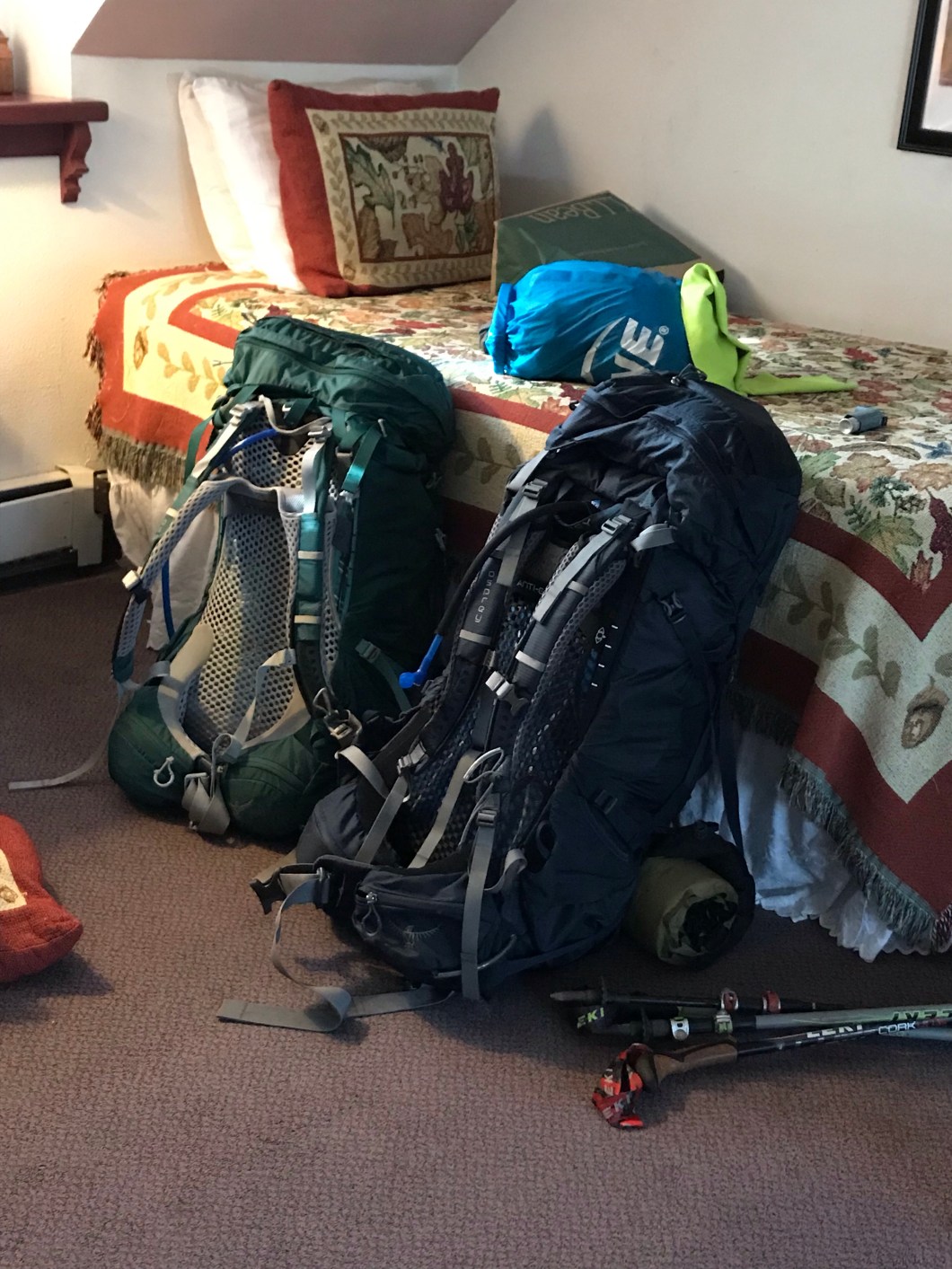


GOOD LUCK! I AM SO IMPRESSED!
LikeLike