Miles: 11.3; Elevation gained: 2,400; Mile reached: 198.3
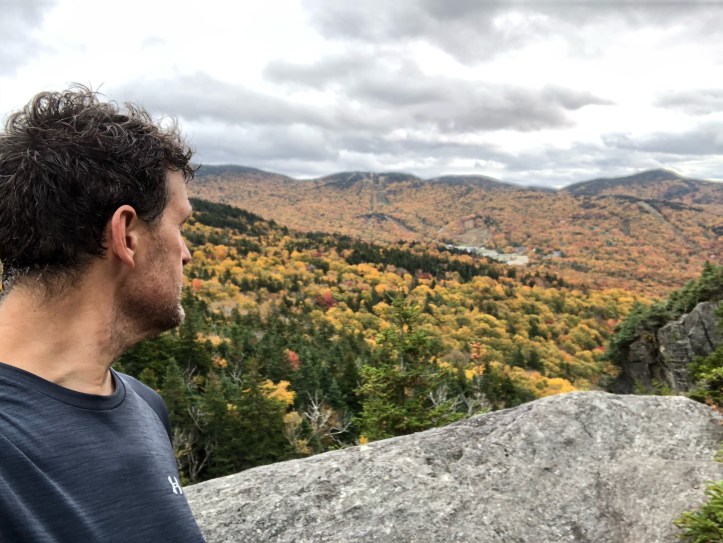
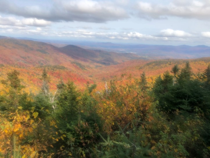
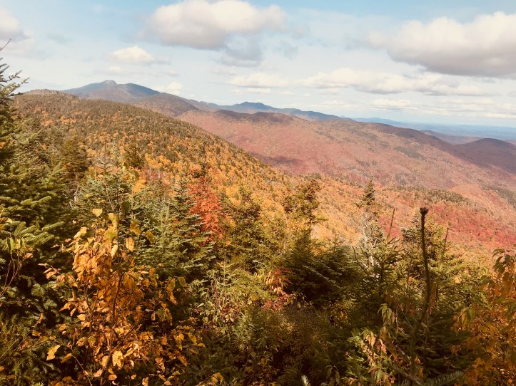
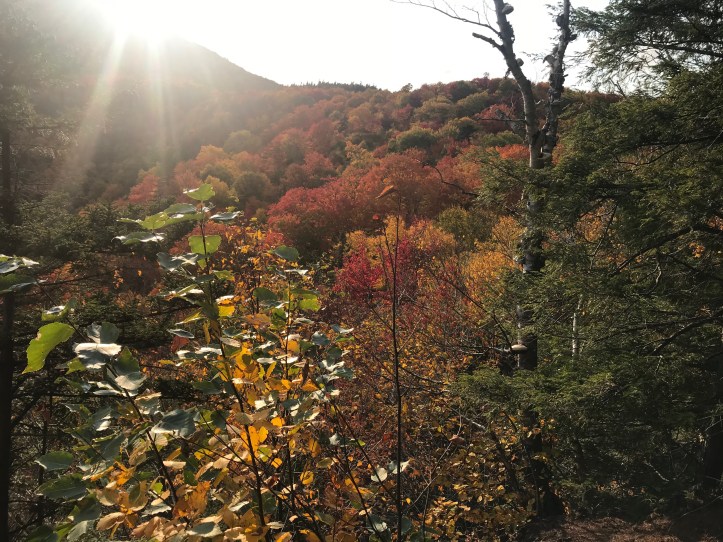
One of the bigger up days, as we had to come most of the way up from the valley floor. There is nothing particularly difficult about the climb – it’s just 7 miles of fairly continuous ascent, and the top of Bolton is wooded, so… But there is a shelf ledge called Harrington’s View at about 2,600 ft that is one of my fave lunch spots on the LT. It looks east for the most part but off to the left (north) you can see Mansfield – obviously the next big target on the map.
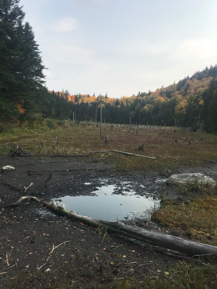
Because it’s ridge hiking all the way, there’s not much water on the route, and that was especially so this year. What we should have done, really, was to fill our Osprey bladders (these are inside the pack with a hose coming out that you can drink from while you hike) the full 3 liters at the stream we crossed right before our stealth site. But no one wants to ascend with that much water and in any case we had to use some for dinner and breakfast, so by the time we got to Buchanan – 4 miles and about 1,300 feet up the trail – we were out, aaannnddd… that shelter and its water source are 0.4 miles DOWN a spur trail, which Chris M actually round-tripped twice because the first time he thought the source was dry, only to hear from two other hikers that the word on the trial was you had to go past the designated source and hit a side stream where there was indeed a trickle (once again I broke camp later than Chris and had to play catch up so he was there first). In any case that was an hour we spent not hiking.
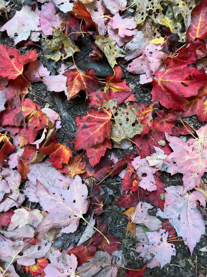
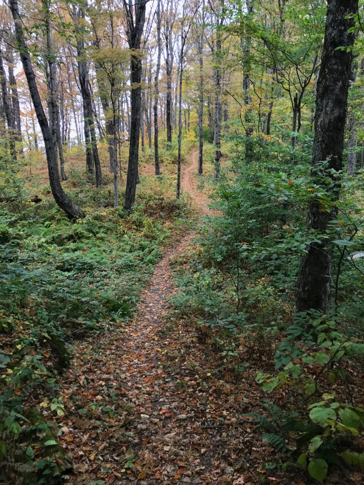
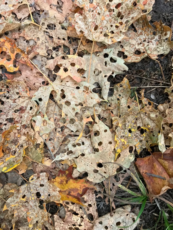
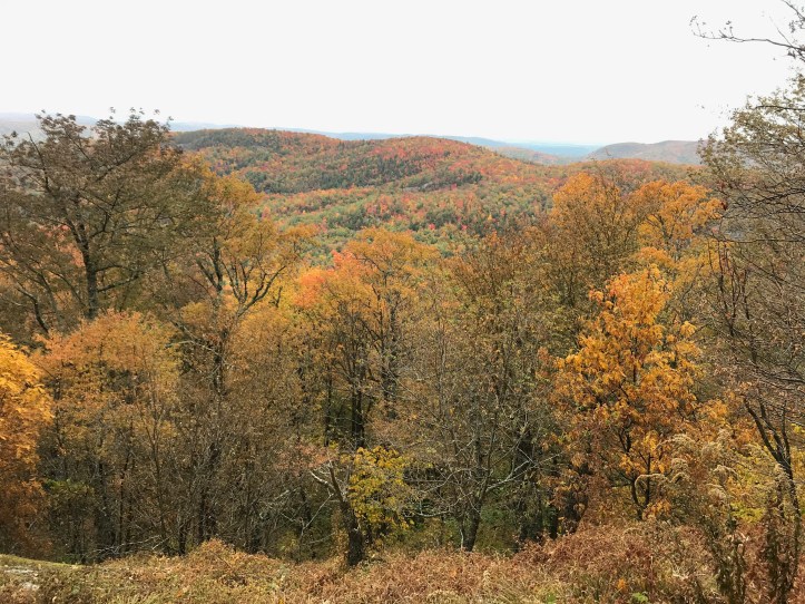
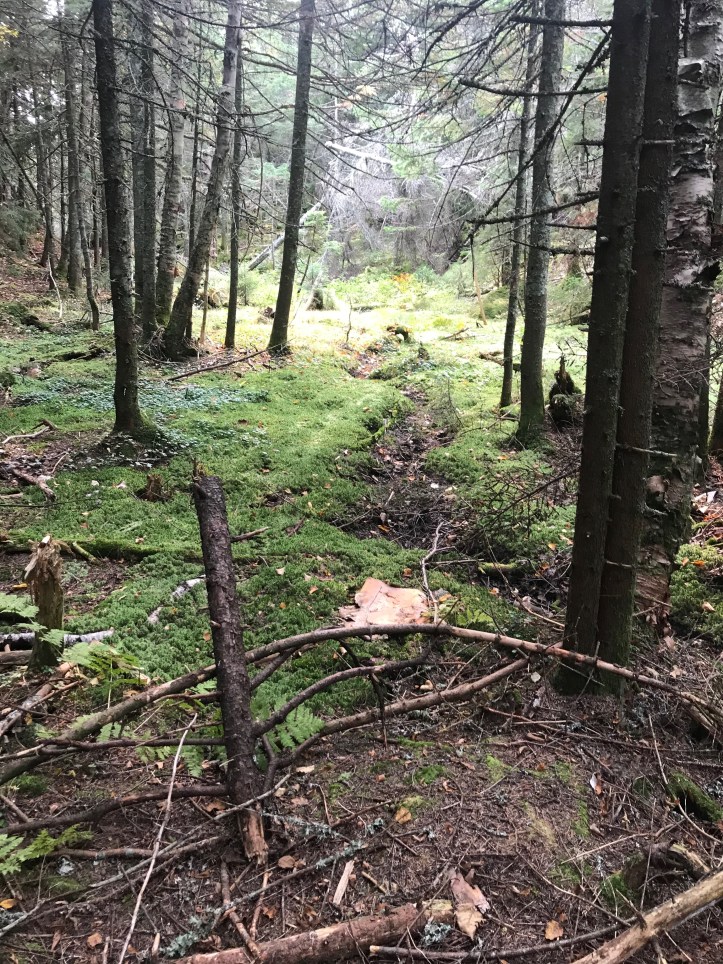
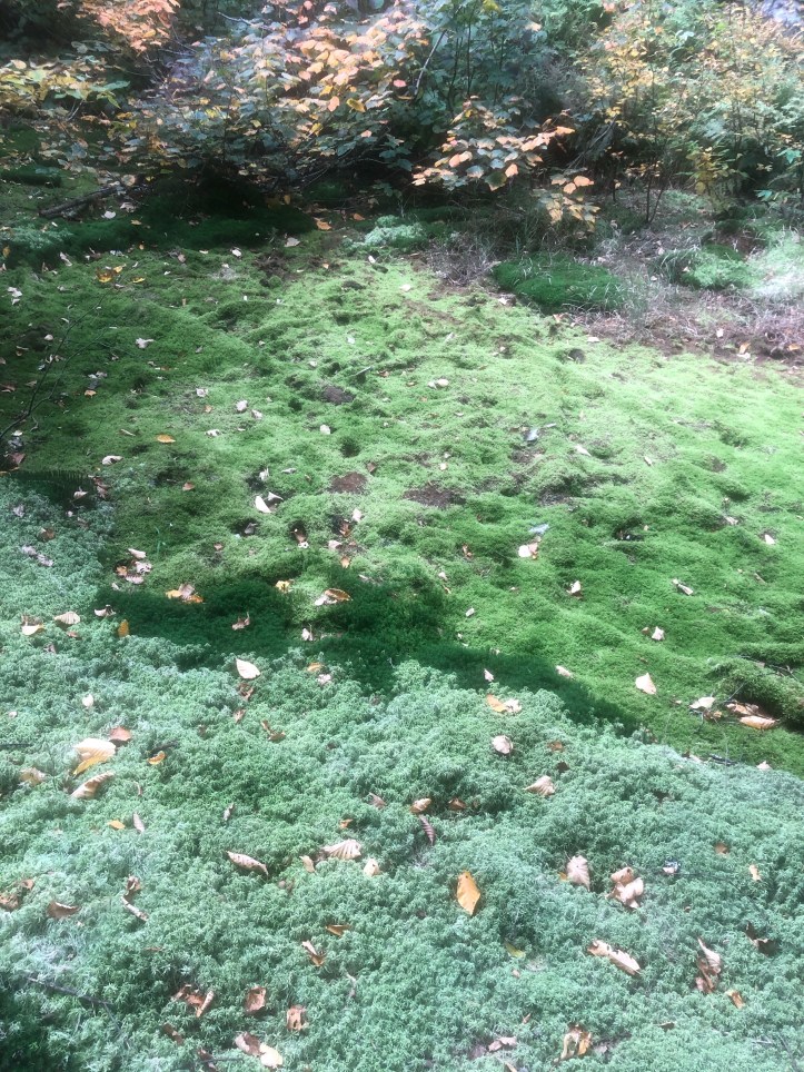
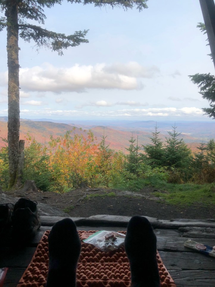
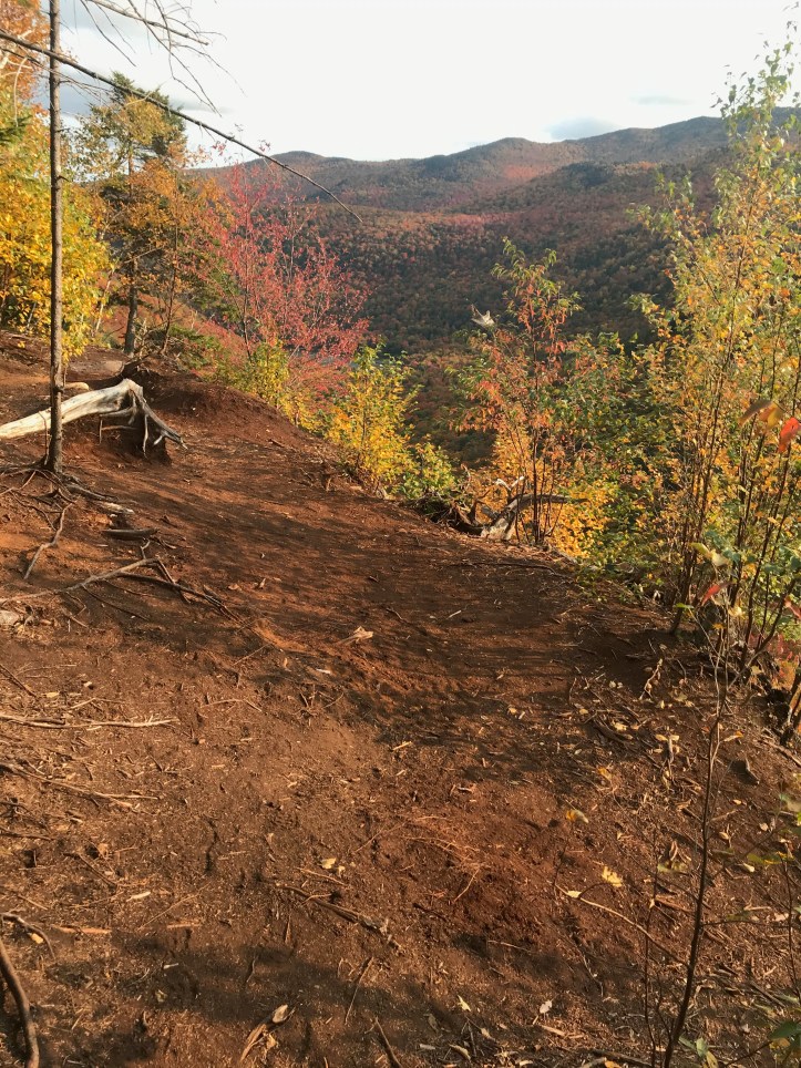
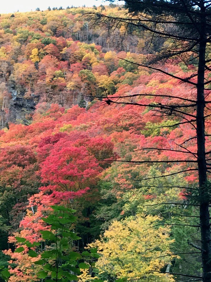
The final ascent up Bolton (my family’s “most hated” mountain as we hiked it a few years ago and got to the top of a bump before it and thought we were descending to the shelter), is one of those wet, rocky, mossy, dark passages that make you think of Lord of the Rings and such. When you are exhausted and the endorphins are coursing through your veins and you’ve been listening to voices in your head for hours, it probably would just plain make sense if Gollum slivered over a chunk of slimy granite muttering “my Precious.” So what a nice, contrasting payoff it was to get over the top and lunch at Puffer Shelter with its sunrise views east and the Old Man(sfield) looming in front of you. As you can see, pretty much peak foliage up here. Columbus Day leaf peepers will have been disappointed – color came early this year as the tress are stressed out from drought.
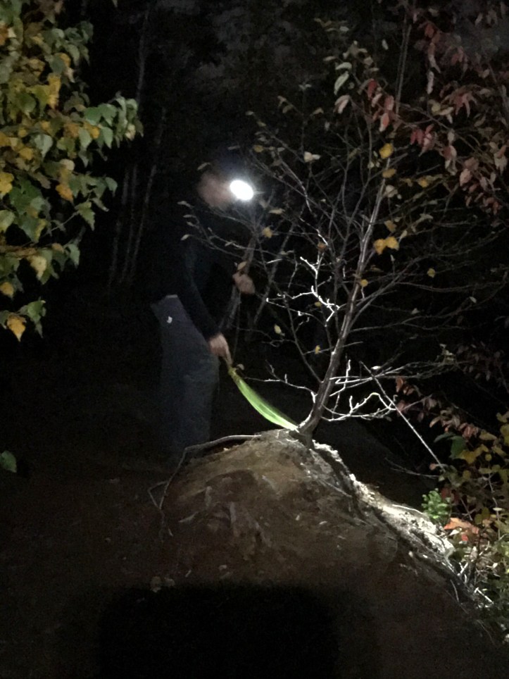
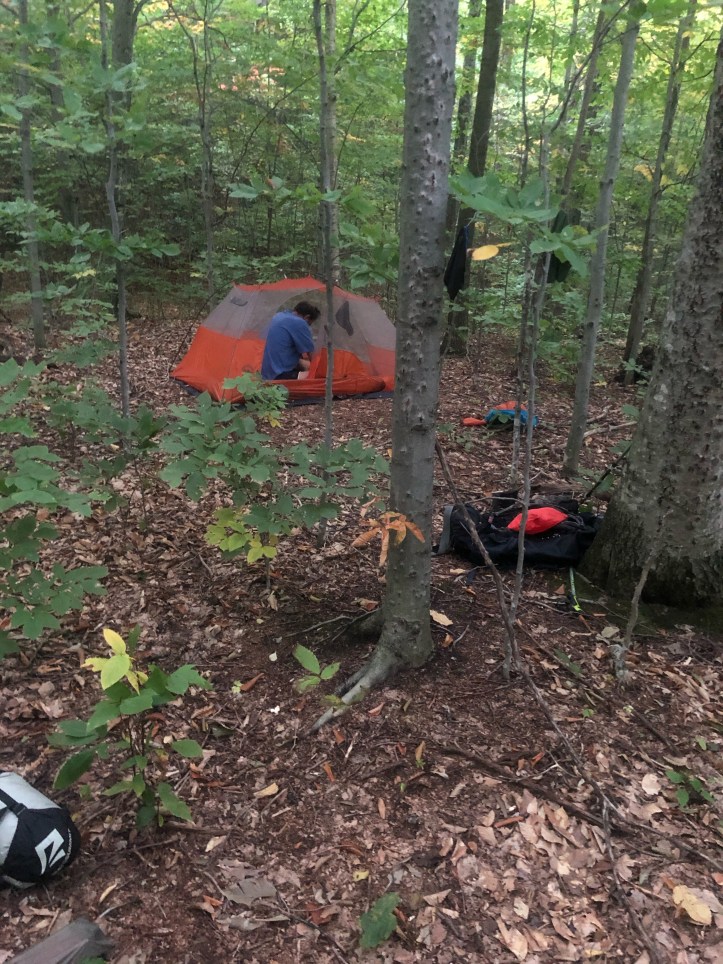
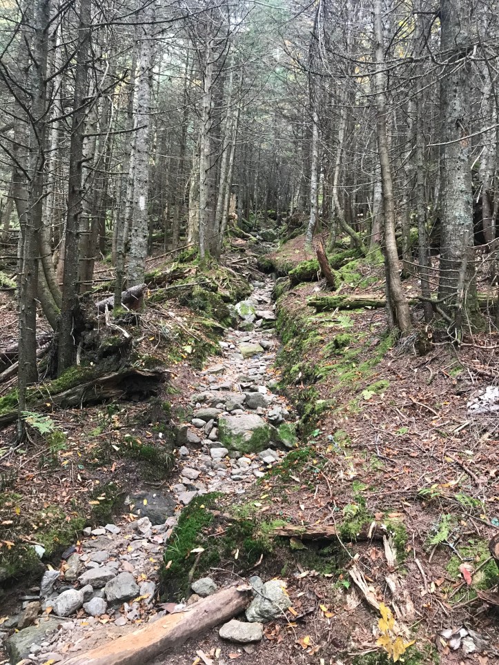
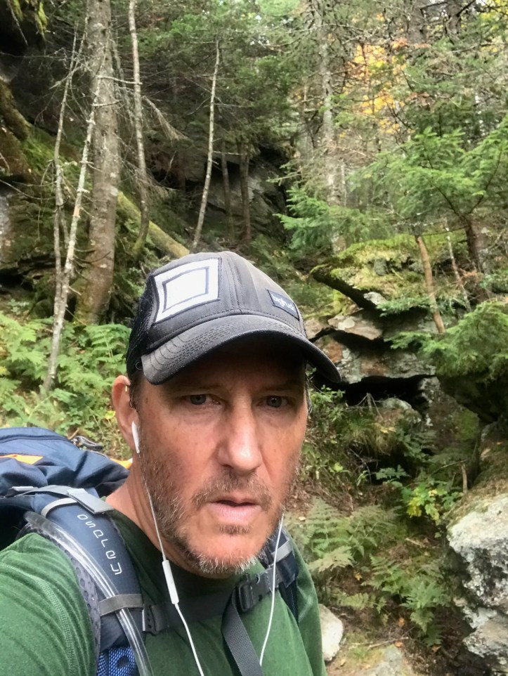
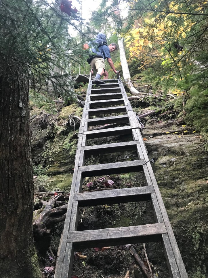
The descent to Taylor is what I referred to in ’18 as “roots and ladders” – the pics will refresh that image for you. We had intended to end up at Butler Lodge or, a bit lower on the mountain, Twin Brooks tenting area, but the water delay, combined with the knowledge that all we had to do was get up and over to Smugglers Notch for a rest day, had us staying put at Taylor for the night. Well, not Taylor exactly. A few college gals at the Lodge tipped us off to a site overlooking Nebraska Notch (thank you ladies!) that was just stunning amid all the color. I’m gonna play cute and not say exactly how to get there in case the three people reading this blog stampede up there and ruin it.


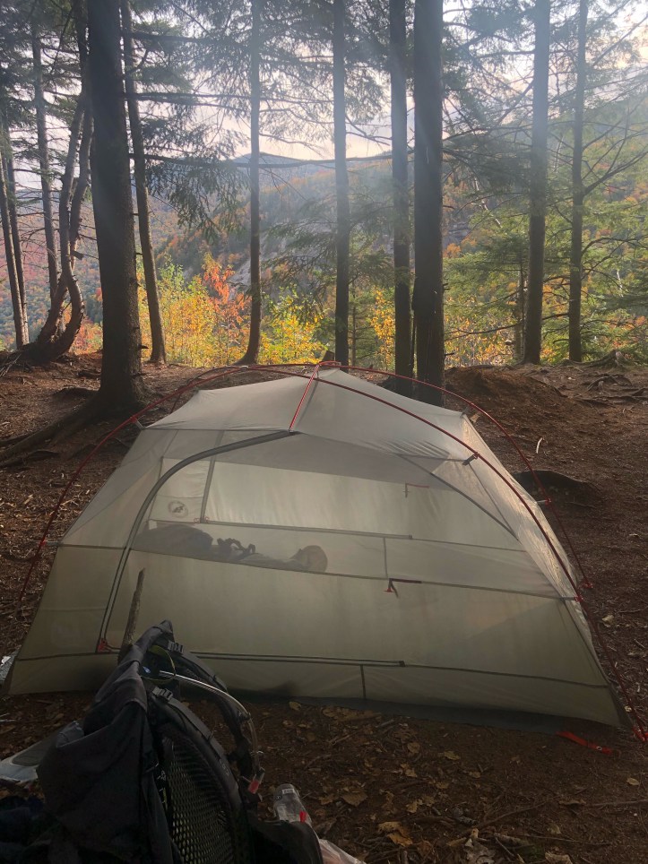
Nebraska Notch