
Miles: 10.5; Elevation gained: 3,100 ft; Mile reached: 217.6
One rest day became two in Stowe, as the forecast was for 100% rain on Wednesday, Sept 30. Sure, call us soft – go right ahead. When it comes to rain and hiking, I apply the same approach I do to road cycling: if I start out and it happens to rain while I’m riding, ok whatever – I’m already dirty and sweaty. If, on the other hand, it is raining already, that’s just not for me if I can wait a bit. On a hike, I am even less inclined, as usually I will finish the day at a campsite without a chance to really dry out, whereas on my bike I am returning home to a change of clothes, shower, glass of wine, and other creature comforts. So Thursday, the first of October, we got a 6:30 taxi up to the Notch and off we went.
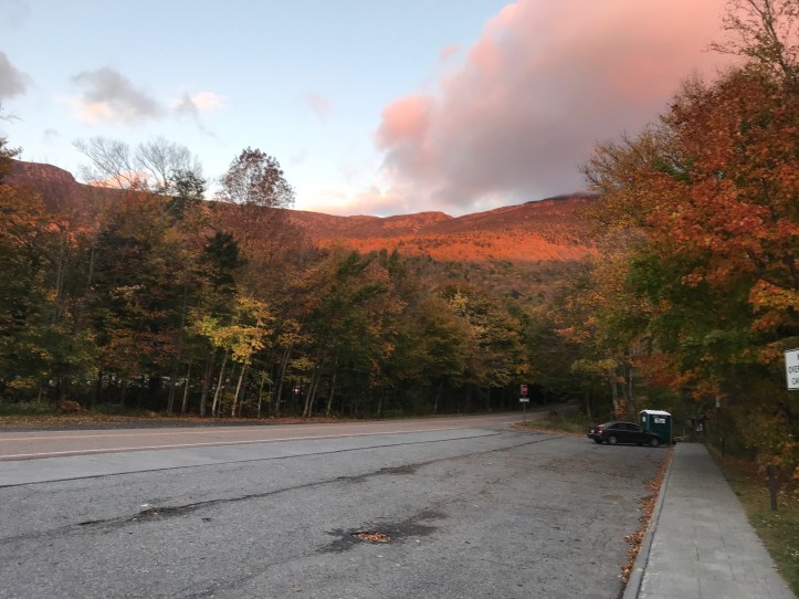
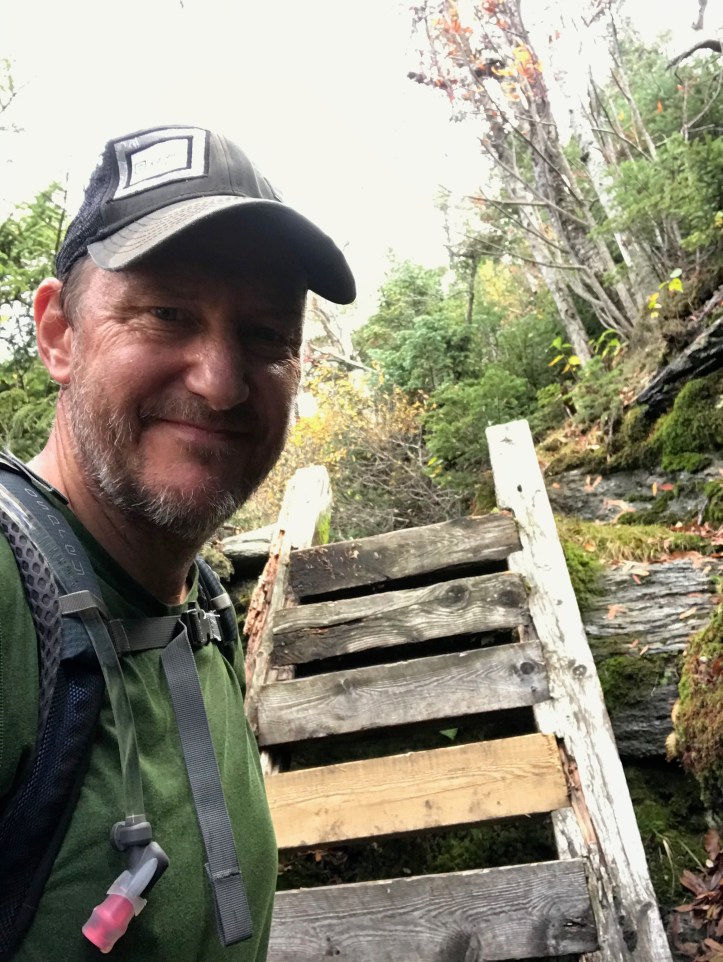
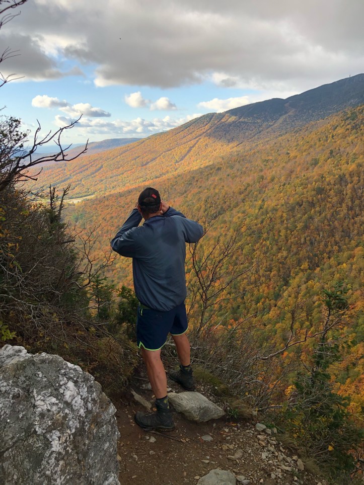
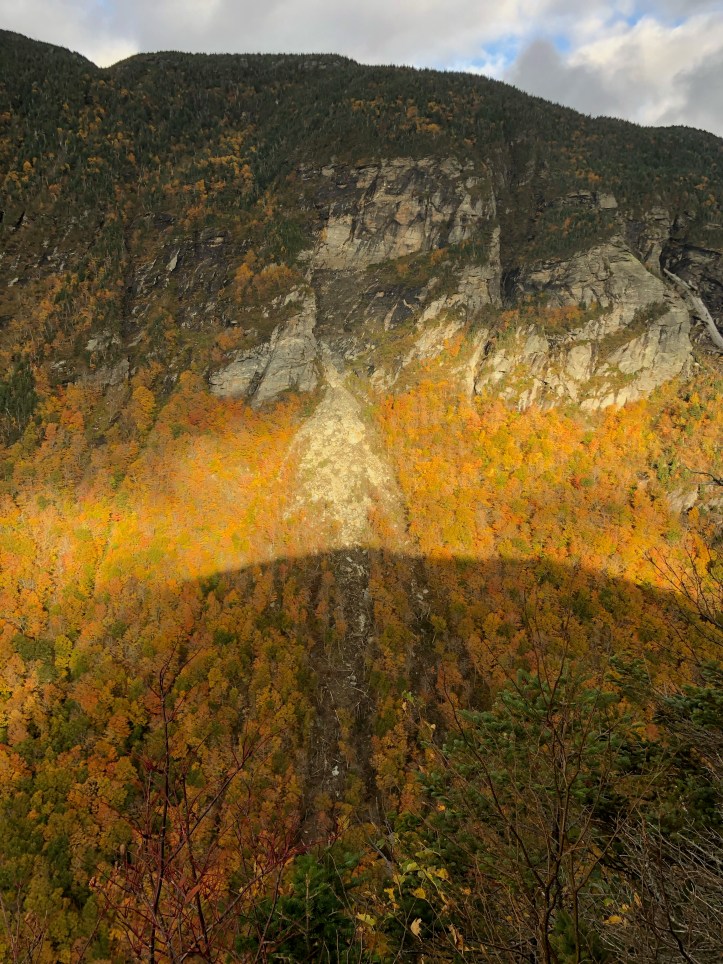
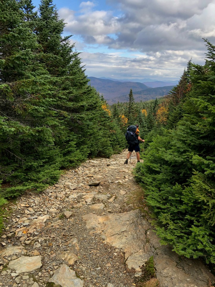
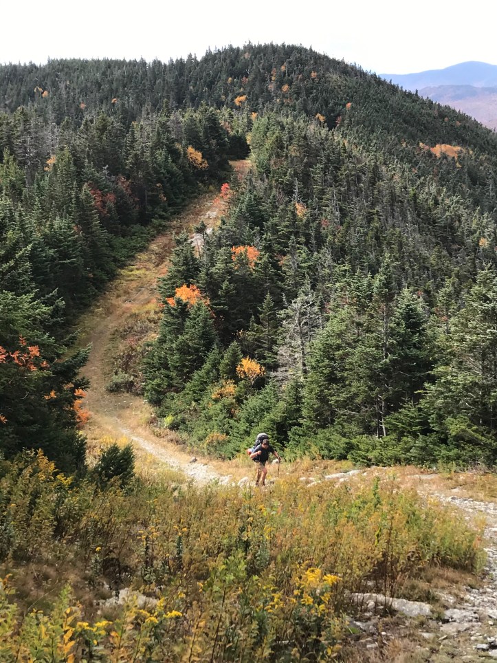
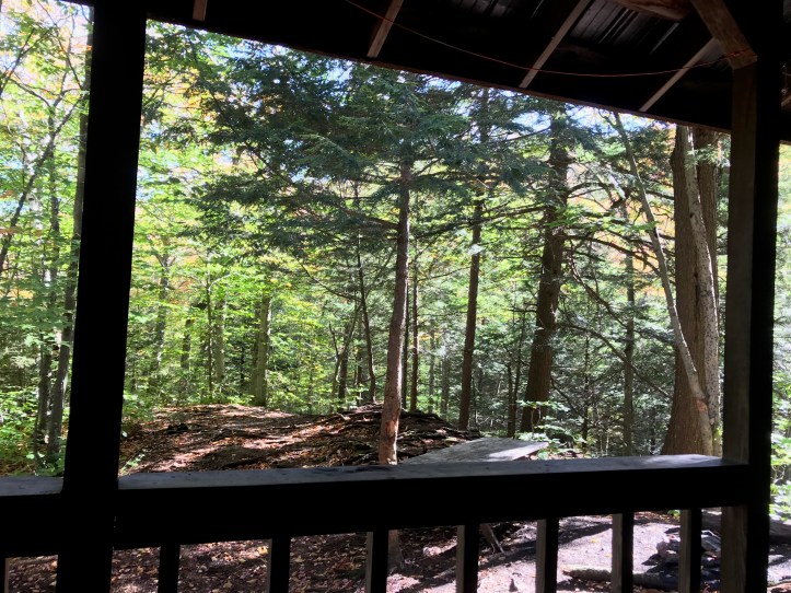
As you can see by the elevation number above, it was actually a pretty big climbing day, despite starting out at over 1,500 ft (not one of our top 3 elevation days thus far includes a 4k ft peak – more a function of ups/downs/ups on more modest summits) . The first climb features Elephant Head Cliff at 2,540 feet – accessed by going down 0.2 mi at a steep pitch, but totally worth it on a decent day, as you can see by the pics. I vote for the Notch as the most dramatic spot on the LT, just for the sheer, jagged geological slash Mother Nature inflicted on the few miles of Green Mountain ridge line between Mansfield and Madonna. There is a chance I’m biased however, having spent several formative years on the Cambridge side, learning how to ski, in addition to a few other pursuits in somewhat less benign categories… But all joshing aside, this was where I first cut my mountain teeth, so the sentiment runs fairly deep whenever I return.
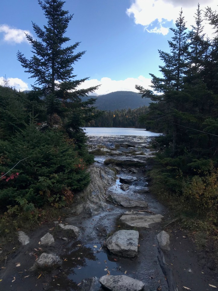
From the Elephant (the name only apparent if you are standing below), it’s a mile up to Sterling Pond, the shelter at which Cliff and I camped the year before. There was a caretaker there – young woman from Staten Island of all places, who had been at the Hump over the summer but had been drafted up to Sterling for the fall. Like a lot of early 20’s folks we met on the trail, the pandemic means there aren’t a whole lot of good reasons to return to the “real world,” so her plan is to stay in northern VT however she can and get into x-country skiing and winter hiking. Sounds like a good plan to me, virus or no!
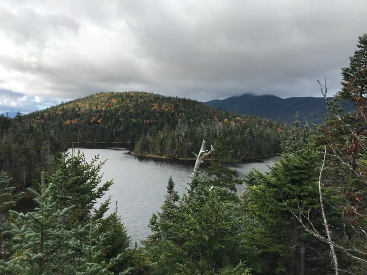
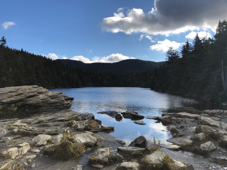
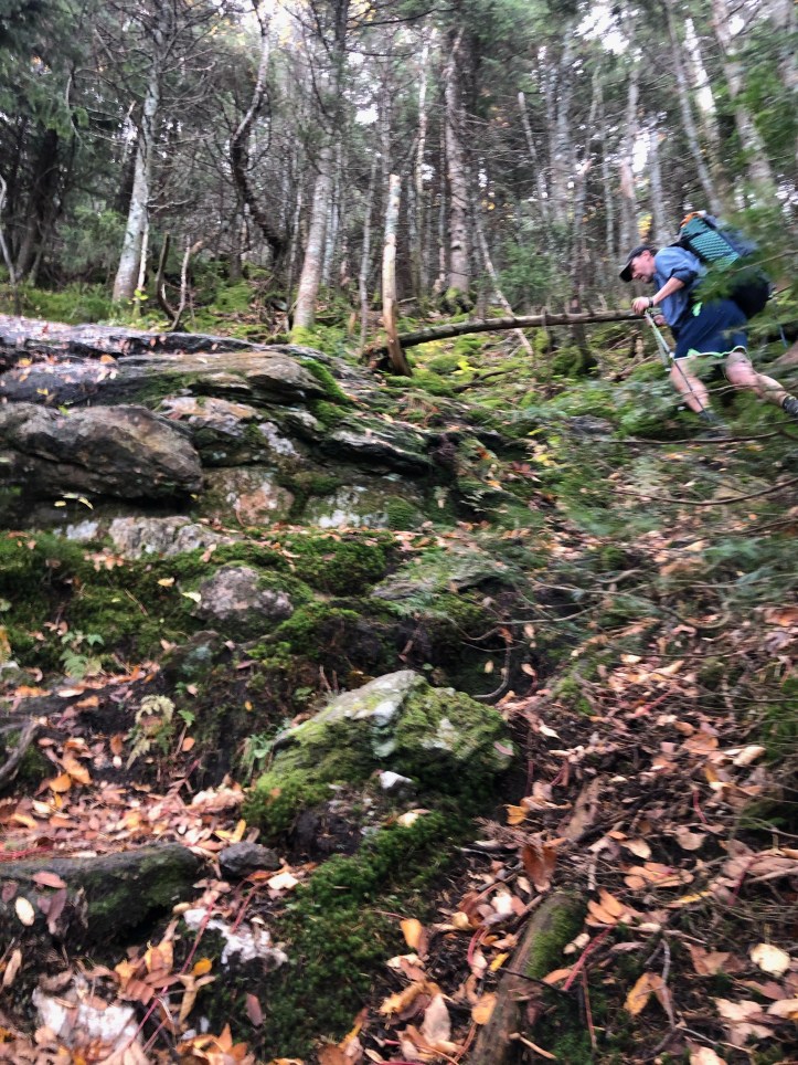
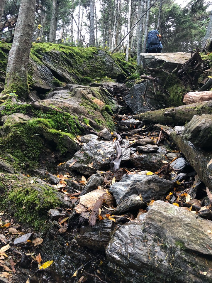
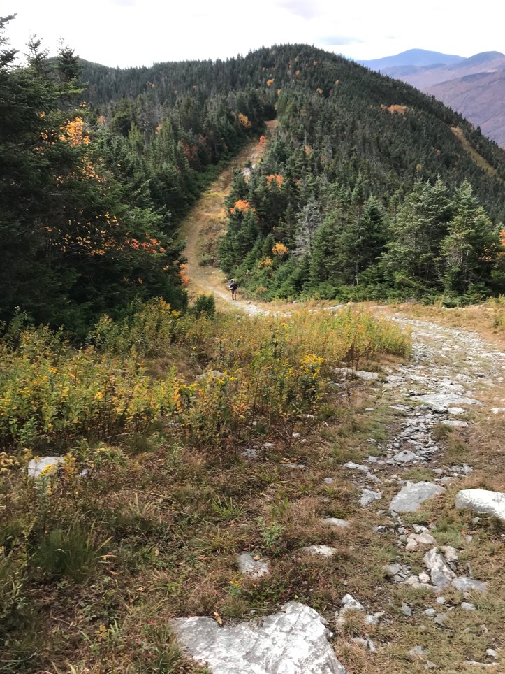
We lunched at Whiteface Shelter, which is at the foot of that peak – it’s a nice scramble up, part of which is what the little vid below depicts. Two f-bombs: Chris M thinking he didn’t have tape rolling, and Chris O dropping one on the slimy, ledgey climb. (The closer I get to Canada, the more annoyed I get at the trail. I don’t know why – something clearly wrong with me). The other side of Whiteface starts the second longest decline on the LT, from the summit at 3,695 ft, to Route 15 and the Lamoille River at 500 ft. For all the talk about the Camels Hump descent to the Winooski, it beats this one by a mere 400 ft. We got some kind of frozen precip smattering on the peak which lasted only a few minutes, but the descent was mucho slippery anyway from the previous 2 days of rain – made for very slow going but happy to report that we passed several parties on the way down (may sound crass and most hikers wouldn’t admit it, but I love passing people cuz it means I’ll get to the shelter first for the choice bunk or tent sites heh heh…).
We camped at Bear Hollow at about 1,500 feet. Met a high school teacher headed south who was attempting to do the LT in 10 days – so a bit more than 27 miles a day. And starting in the north! The guys and gals that go at this pace always seem to be built like jockeys, and goes without saying they are young. I am fine with knowing my aging, Clydesdale frame will never attempt to do anything like this even if I got the urge. We went to sleep early resolving to get going very early in an attempt to hike a few hours before the rain started. How’d that work out? On to Day 17 my friends!


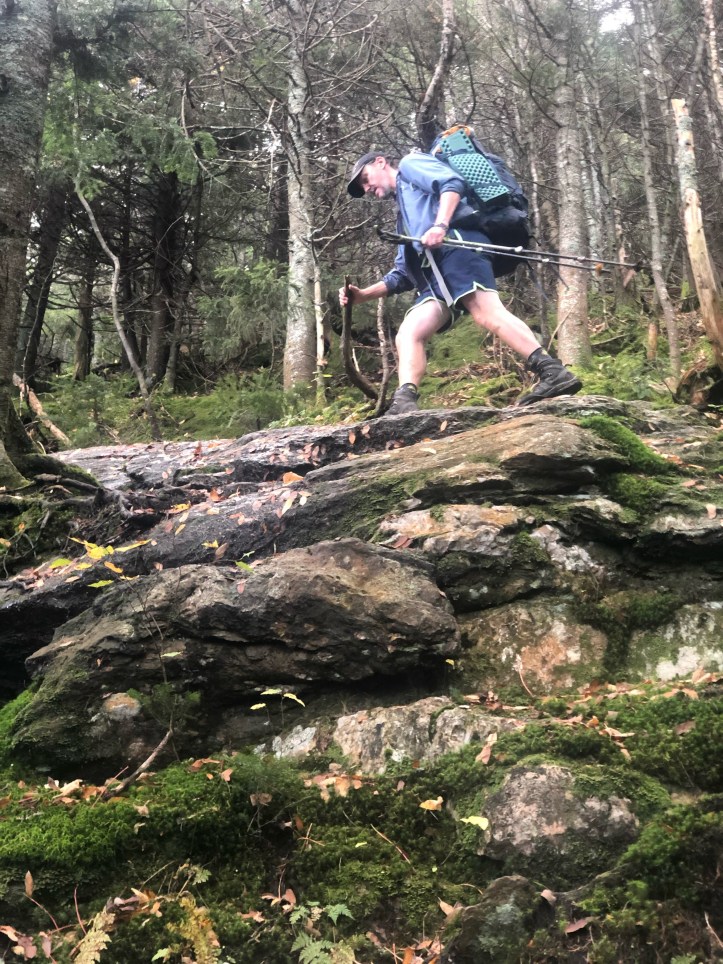
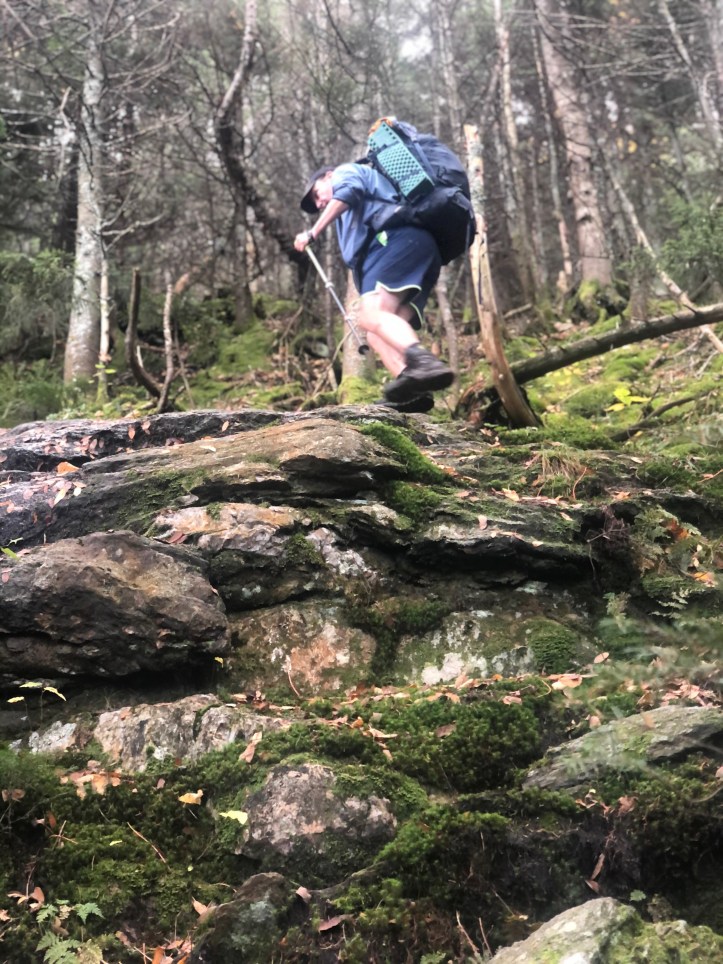


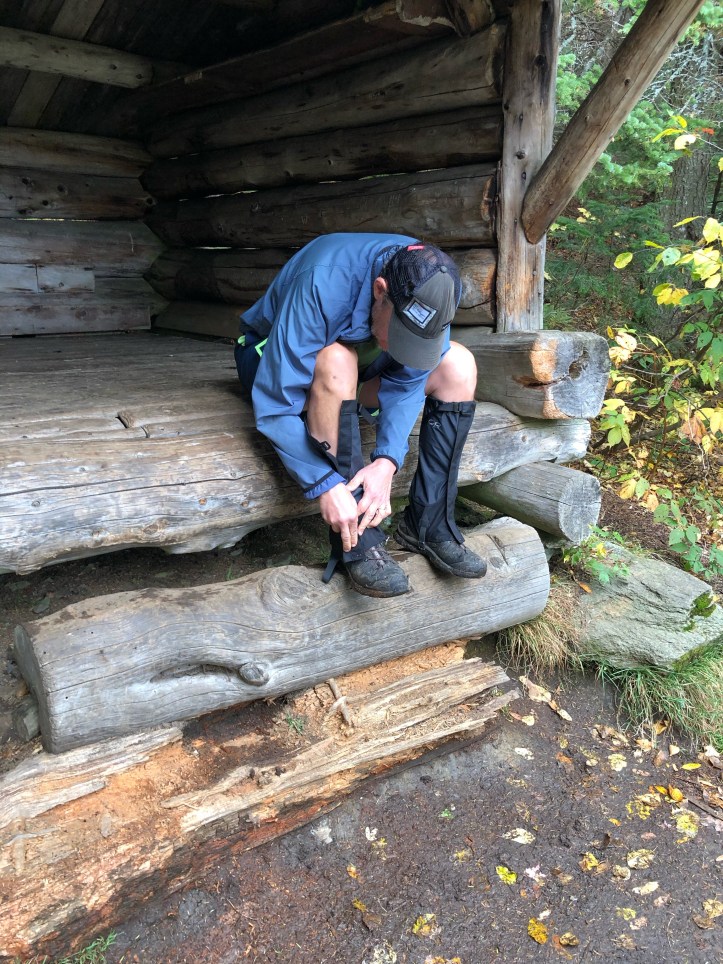
Muted – it’s a silent scramble now. so the R rating has been removed. This is on Whiteface. Yes the gators look like garters…


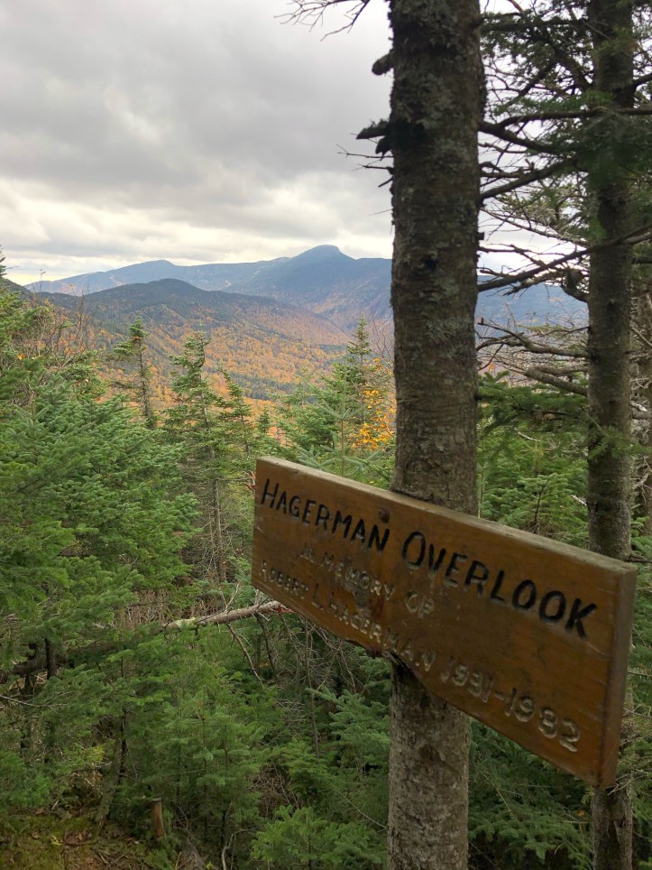
Breathtaking!
LikeLike