Miles: 11.7; Elevation gained: 3,700 ft; Mile reached: 259.6
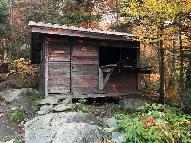
Tillotson is a shabby structure that sits on a gorgeous spot. It’s on a sloping ledge at 2,255 ft facing east, and as there was no cloud cover, we had a sunrise over mature foliage as we ate breakfast, and I have the pic to prove it below! There aren’t great tent sites, but until they renovate the cabin, getting a flat spot above it on the hill is probably the way to go here. I slept in the last top bunk, hemmed in on all sides by the drying-out possessions of a woman who was fond of talking about how fond she was of cannabis – legal aspects, edible forms, varying strength of said and other forms, etc. Anyway… There were also two older (yes older than me) guys who were classmates from Middlebury College from the class of 1972 – so in their early 70’s. They were sobo for a section – had just come up and over Haystack which is a long, slippery ascent up from the road at Hazen’s Notch – so they made no concession to age in choosing their hiking terrain. Now there’s a goal – do that at their age. Good for them.
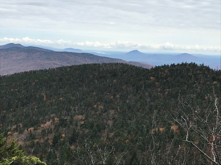
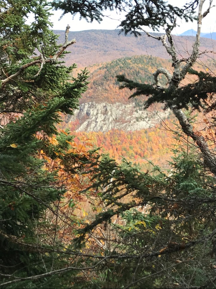
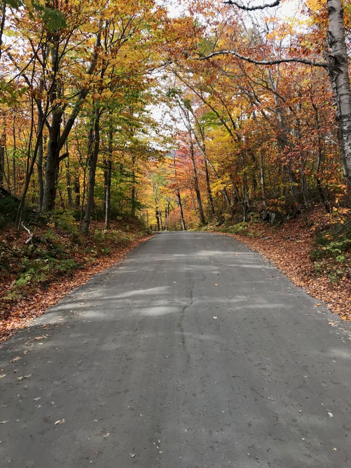
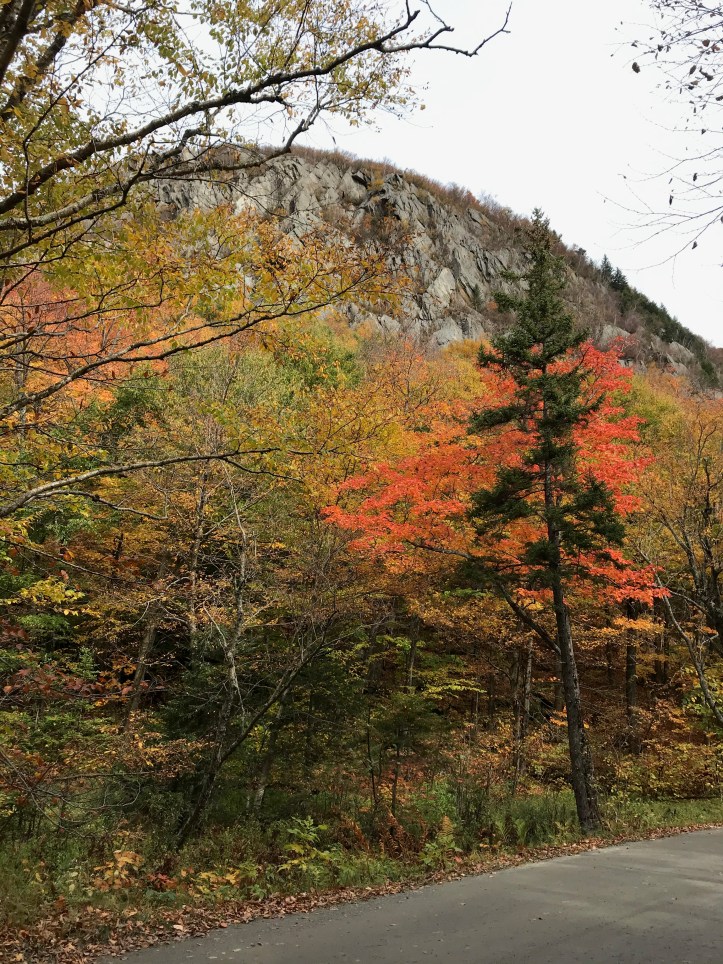
North out of Tillotson starts with a 400 foot sprint up a no-name bump, then a dip to another beaver bog, then up about 750 feet to the top of Haystack, which I can’t call a PUD because there is actually a decent view looking NE. The descent is in fact fairly treacherous, especially when wet (cue Bon Jovi), and it’s about 1,500 feet to Hazen’s Notch Road, which has a beautiful, craggy bluff on the north side that you see from the road a bit to the east, though the trail, in a head fake, heads northwest. Perhaps some day when I am not anxious about getting miles in I will bushwhack over to the top of that thing (sounds like a day hike, doesn’t it? Thru-hikers will know what I mean – it’s not a race, but it sort of is). I thought the 600 ft climb up from the road was tough, though at this point headed north I think only the spryest among us are not at least a little beat up and feeling the terrain a bit more – like the ride in a car that really, really needs new shocks. We stopped for lunch at Hazen’s Notch Camp, which I recall as (barely) a water source from the year before after Cliff and I had gone quite a few miles without (that’s the cover pic from Day 25, ’19). No problems in this area in 2020.
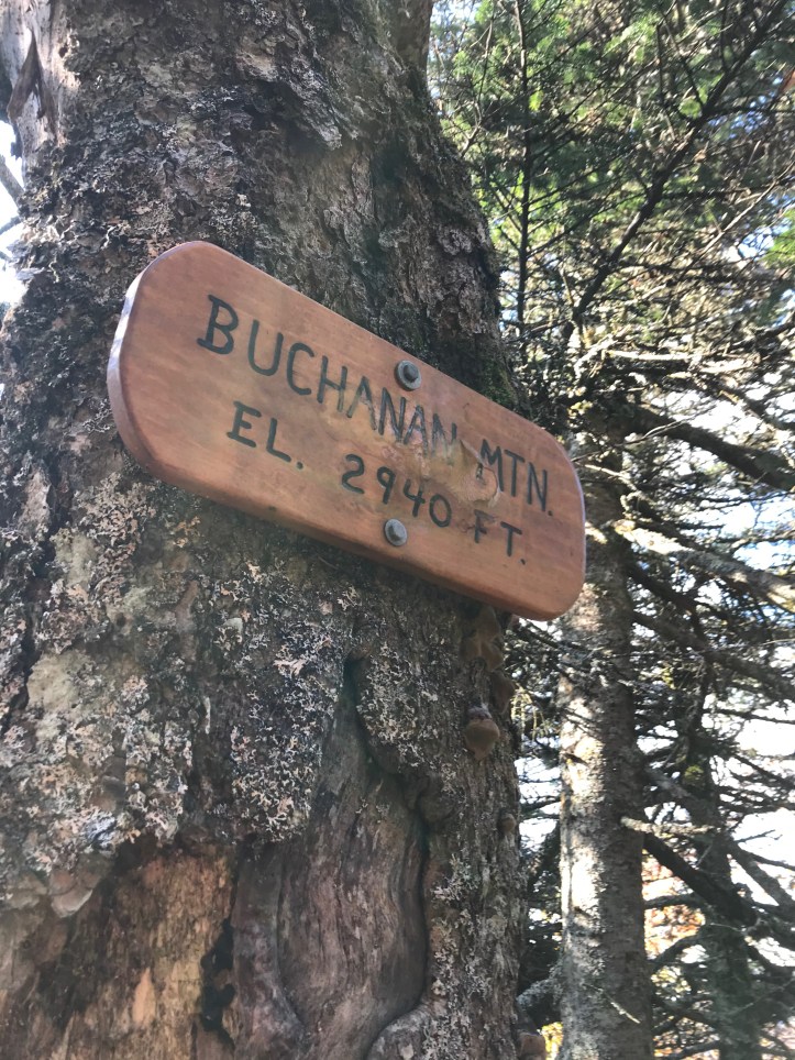
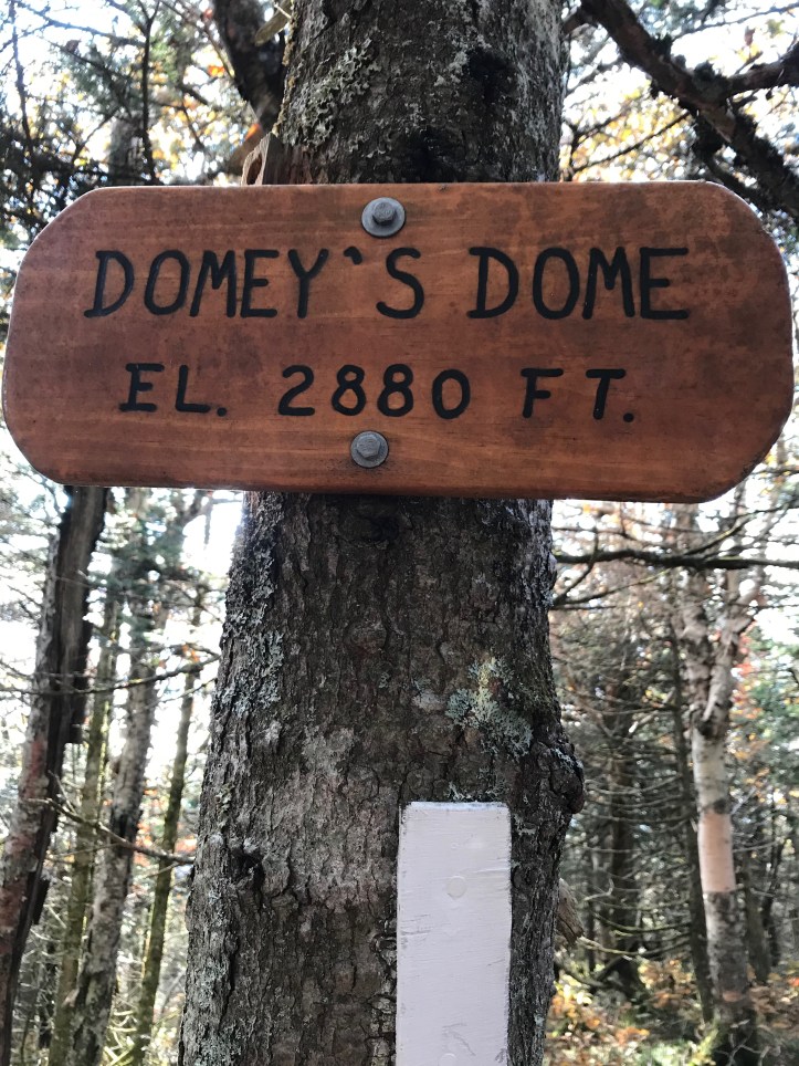
After a series of true PUD’s (Buchanan, Domey’s Dome, and Gilpin) the trail heads 700 ft down to Jay Pass, and up just a bit of Jay Peak to Jay Camp (a lot of Jays). The Other Chris was there already – not Chris M or me – I am talking about Triple Crown Chris who we’d been running into at least since Sugarbush. As far as we could tell, Chris basically lived on long distance trails – you’d kinda have to to hike the AT, PCT and Continental Divide to get the TC status – plus countless other trails he told us about that I’d never even heard of. He wore the same pork pie hat and flannel shirt every time we saw him, a tad heavy, and at first blush slower than us (we passed him several times) but in the end, we’d arrive somewhere and he’d be there already. Today was case in point: he’d arrived at Tillotson the night before, found no place to sleep, so kept hiking north – far enough I guess that he had no problem getting to Jay ahead of us. He didn’t have a clear plan for transport from the border the next day, so I said if he got there by 3:00, Marcia would be happy to add a third smelly passenger and drop him somewhere south. Anyway – solid citizen: he built a much-needed fire that I used to dry my socks, played some good tunes (on his phone inside a cooking pot-as-speaker cabinet), and told many good stories. A good reason to hike is to run into people like Other Chris.
We were joined by a guy working on a forestry PhD – he’d been to the peaks of 4 VT mountains something like 20x each this year, in the 4th year of a study on climate change impact. My understanding is the goal was to see how the forest is changing as you head both north and up in elevation. As you can imagine, the hardwood/coniferous line is moving up in both. That’s obviously one super simplistic way to look at it, but it’s easy for a know-nothing like me to understand the impact: 50 years from now, many peaks in VT and elsewhere that are evergreen now will be nothing but hardwood, and types of hardwood will also be in flux. I suppose that means that in the valleys, there will be flora and fauna that used to exist only further south, and all these habitats will overlap, disappear, appear, etc., with attendant havoc to immunity systems, etc. Rolling pandemic waves – many versions of bat-to-pangolin-to-human virus transmission… Happy thoughts! As the man said, there are more points of contact in a forest than there are stars in the sky, and the forest Jay Camp sits in will be unrecognizable to my son when he’s just a bit older than I am now. Unless of course we do something about it, in which case I say get ready to travel further north to see fir trees. Ok – suppress that thought for now – one day to the border!