
Miles: 10.5; Elevation gained: 2,200 ft
I am combining these days as they were short – at least mileage-wise. Cliff’s feet were still in very dicey condition, and it was all I could do to get him on the trail again (a bit of cruelty on my part I suppose, but I figured if the pain was bad enough he’d have simply refused).
We took advantage of the free shuttle back to the trail head in App Gap, driven by Anna, one half of the couple that owns the Hyde Away Inn. They are opening another restaurant in the Valley (no lodging) and I was interested to learn that one of her biggest challenges in running these businesses is the tight labor market in VT – very difficult to find help. I assume she meant qualified and reliable help, as that seems to be a rural America problem in general, but here I digress rather far from hiking.
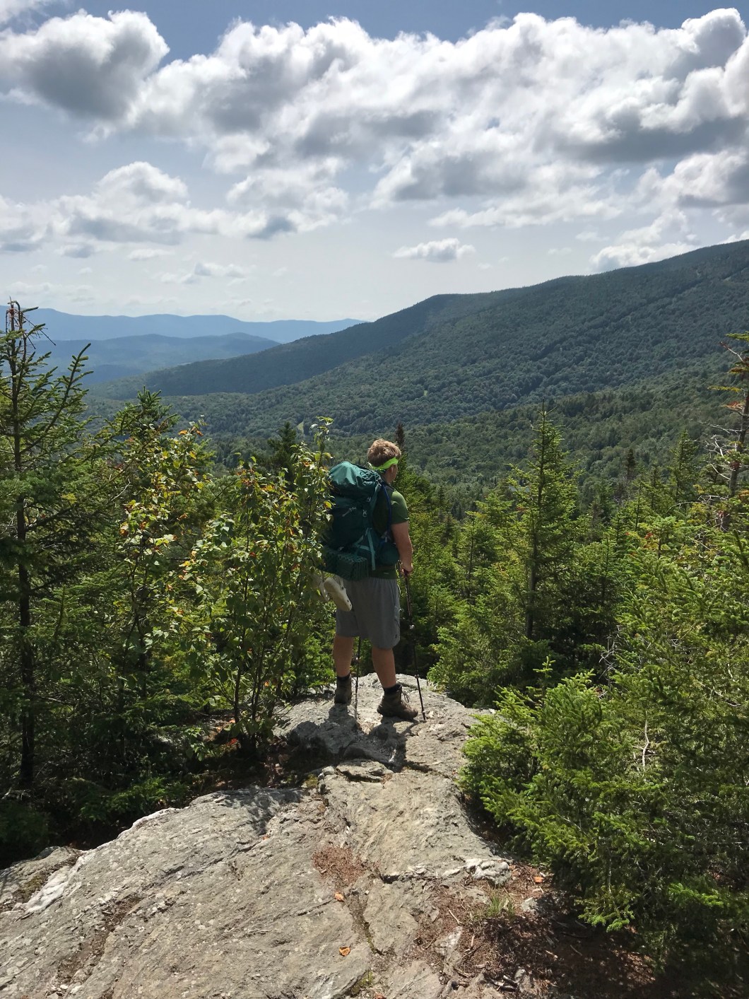
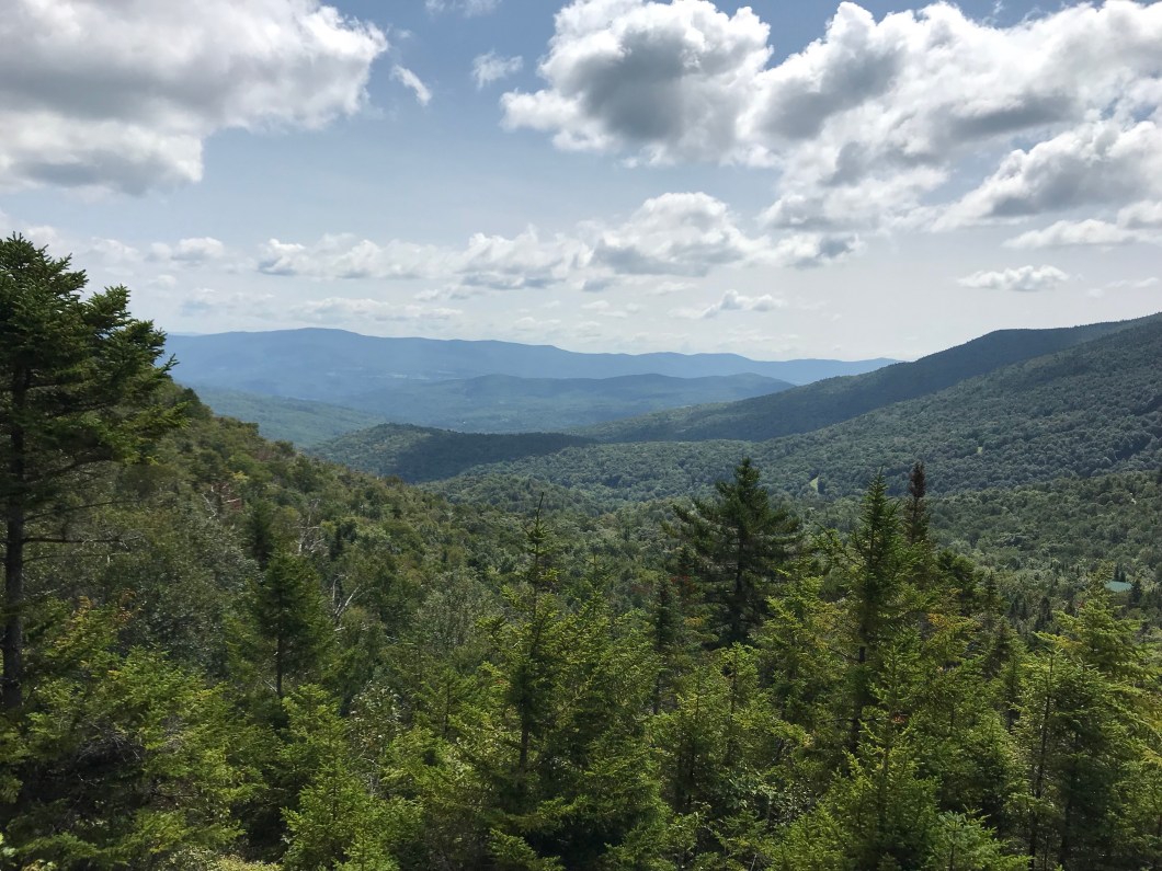
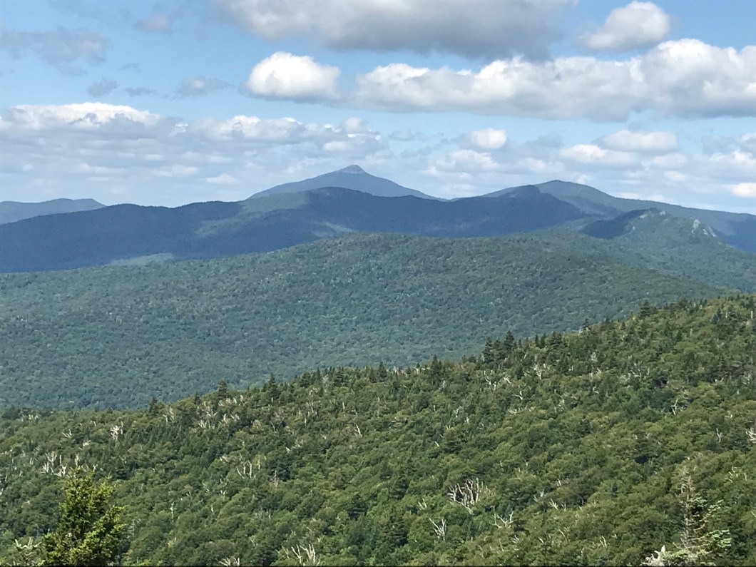
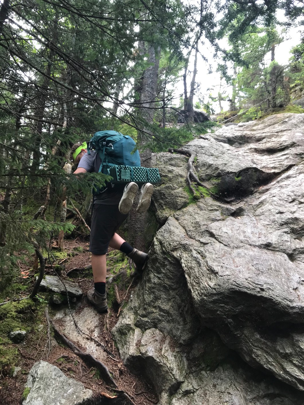
As usual in these gaps/notches, it was a steep climb out, and slow going for the ailing Cliffster. We made our way to a rock ledge called Molly Stark’s Balcony (wife of General John Stark, hero of the Battle of Bennington and originator of NH’s “live free or die” motto). There we encountered a group of incoming UVM freshmen on an outdoor orientation outing (we subsequently met groups from UVM again, Tufts, and Harvard). One note here is if you are hiking the LT in 2nd half Aug, you will run into these groups, and they make it a challenge in terms of room at camp sites (as we will see in the next post). We got Cliff’s boots off and I applied mole skin and bandages as best I could, though the issue really was that it was painful for him to just set his foot down in general.
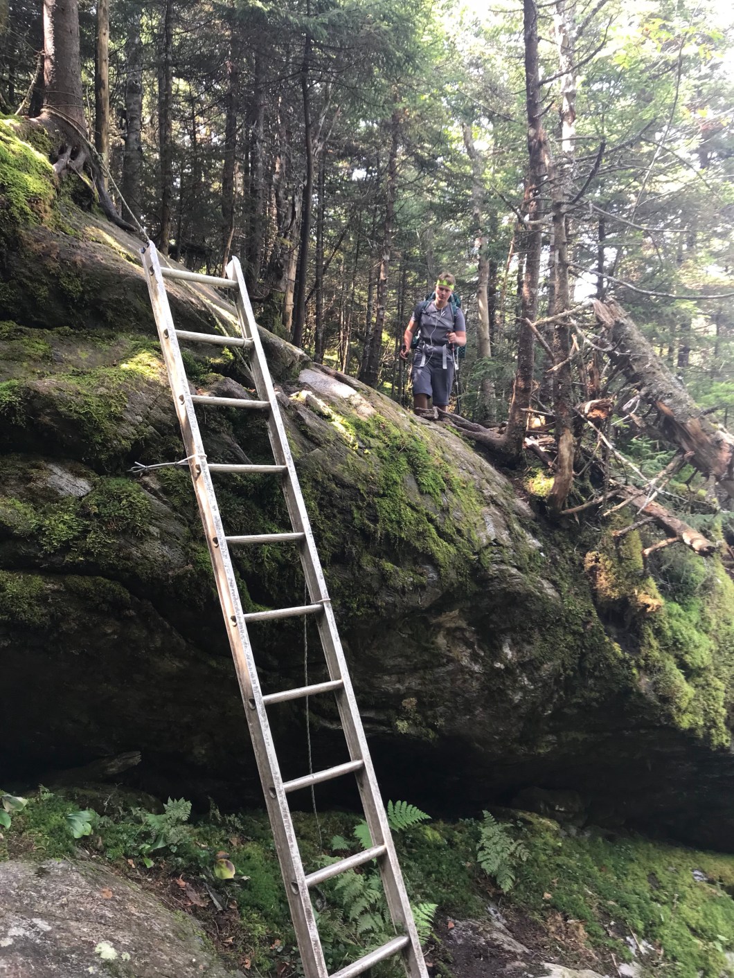
We got going again through a ladder assisted descent off the balcony, and made it to Birch Glen Lodge. Cliff again said it would be super hard to continue. We decided we’d call the whole hike off and retreat to App Gap as there were no good exits until Duxbury on the other side of Camel’s Hump. Then I convinced him to make it to the next shelter, sleep on it and see how is feet were in the morning. I figured they would improve, but have to say it was more a matter of my reluctance to give up. Shame on me.
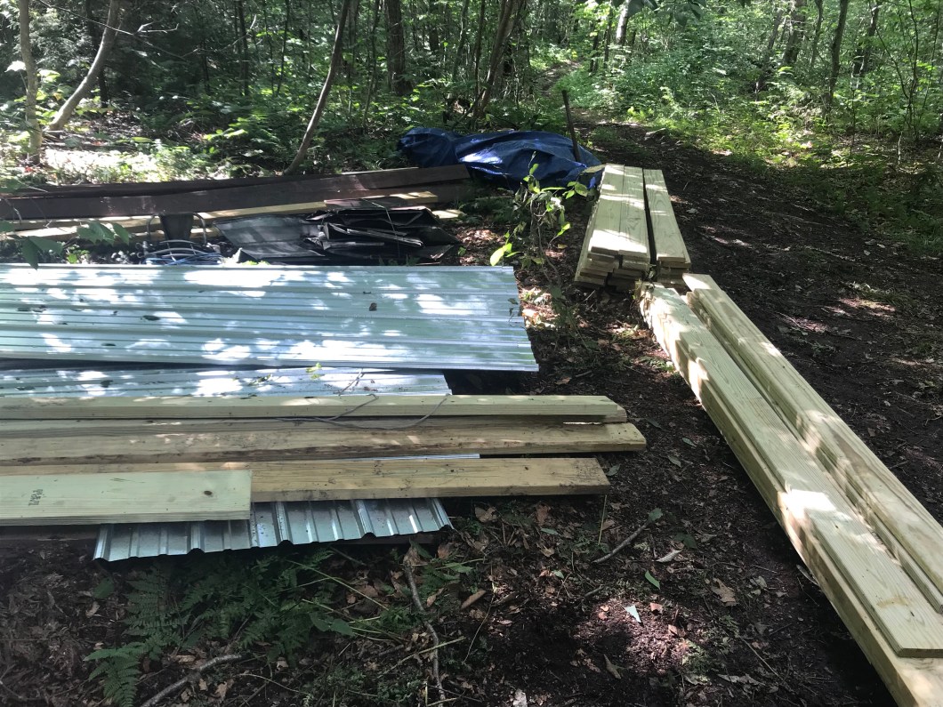
The next shelter was Cowles Cove, which, as we learned on arrival, was in the process of being rebuilt. There were already a lot of tent sites taken by hikers and the construction crew, and the only flat space I could find was a bit muddy, which actually is not that bad if it’s not soupy mud, as it sort of conforms to your body. I joked with the head of the crew, Kurt, that we’d market this as “memory mud.” Very nice guy by the way, whose been doing this for 8 years – a niche career if there ever was one – hauling in materials on foot to build shelters, privies, bridges and all the other infrastructure necessary to support LT walkers.
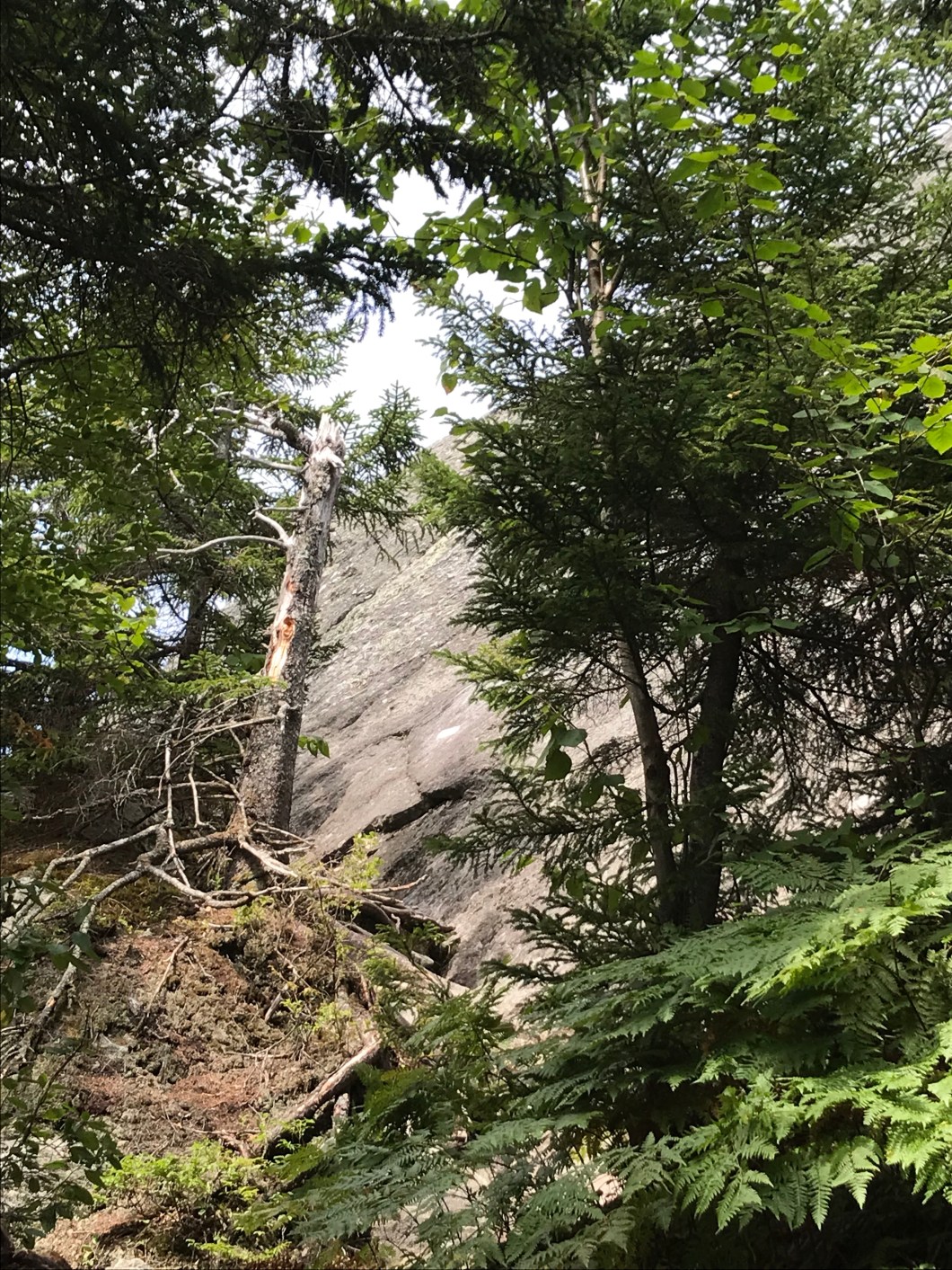
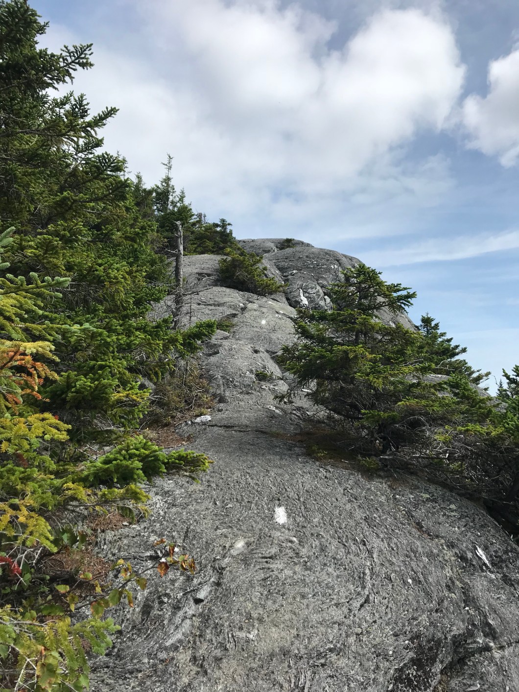
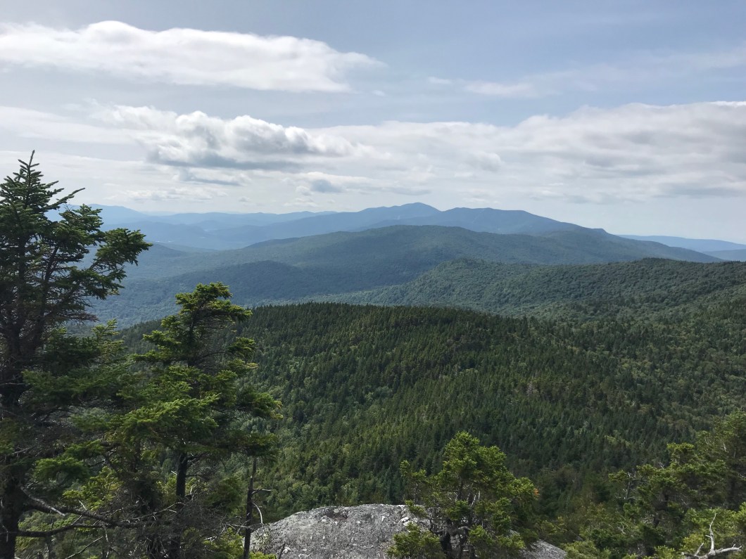
In the morning, Cliff said his feet weren’t much better. We got another late start and had another come-to-Jesus discussion about continuing when we arrived at the junction of a side trail called Hedgehog Brook. Again we agreed to keep going, even eyeing a goal to summit the Hump and camp on the north side of it.
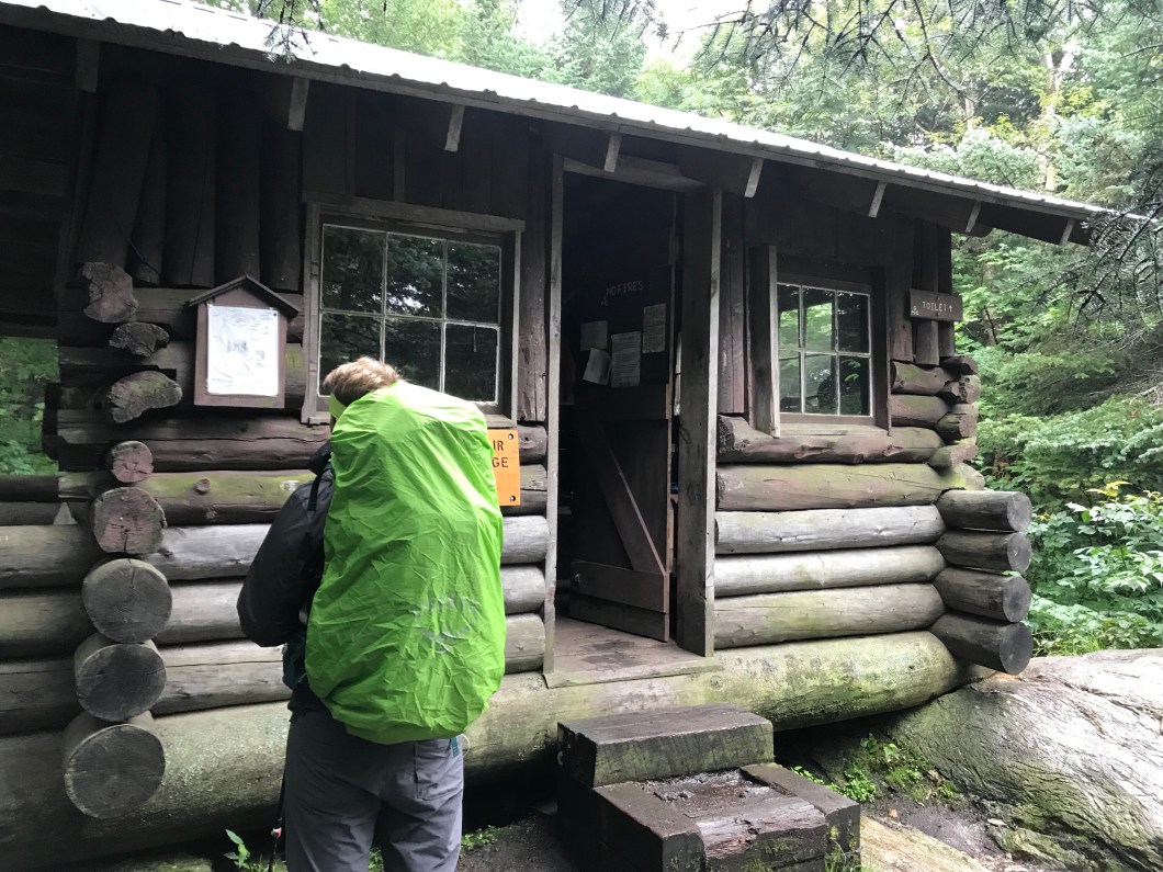
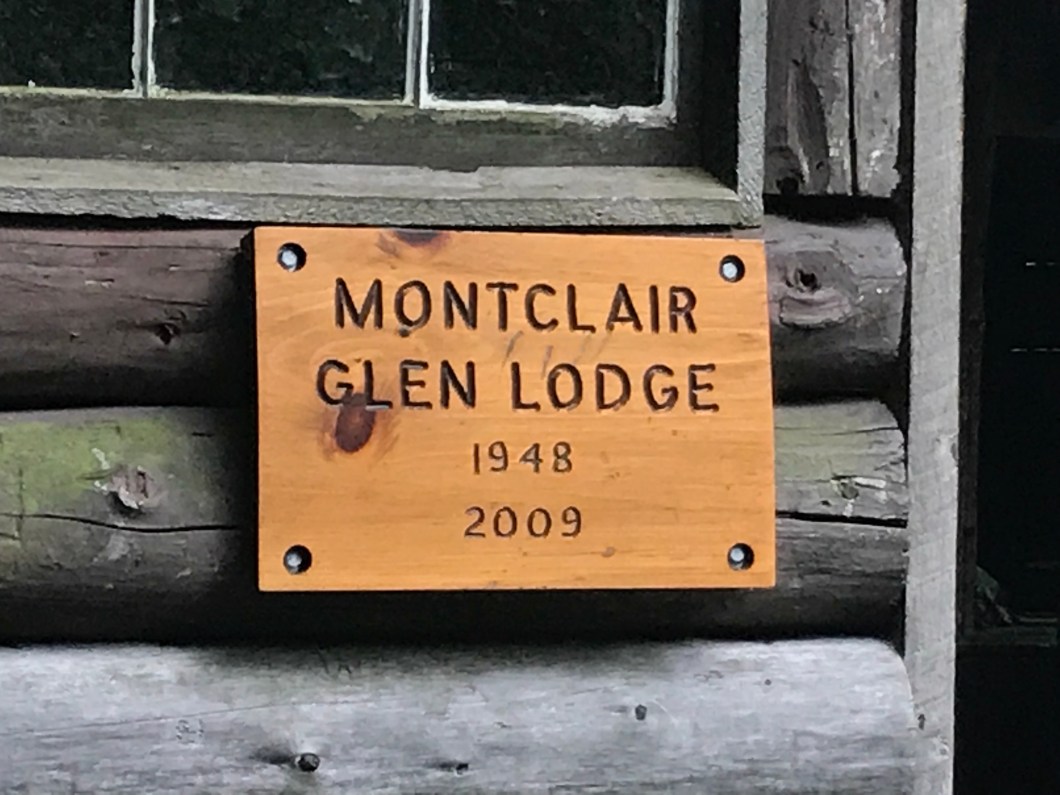
We made it to Montclair Glen Lodge at about 3:00, which would have been time enough to get up and over before dark, but it was a nice spot and we decided to stay put. They’d had a bear “break-in” at this lodge – apparently Smokey figured out the door handle, entered, but the door closed behind him and he busted a window to get out. No one was there at the time, but one result of this was a large piece of lumber that got slotted across the door once you were in with the word “bearicade” painted on it.
Up in the rafters of the lodge were etched the words “Winter Trek ‘77.” This fairly blew my mind. I went to an alternative educational facility called Stowe School for my last 2 years of high school. In addition to entering the school (literally) by completing something called Resource Trek – 263 miles of canoeing and hiking from Old Forge NY to the school – the students were also obligated to go on a winter expedition called, wait for it… wait for it… yup, Winter Trek. We are talking not only the survival of 1977 graffiti here, but words written by, presumably, people that I very likely knew, out in the middle of nowhere. There were three sets of initials carved. I’ve posted the photo to the Stowe School FB page but so far no authorship claims.
The forecast was for rain starting in the night and continuing through the next day. This, combined with Cliff’s already waterlogged pedestals, did not give us an encouraging feeling about getting over the 4,000 ft Hump the next day. Stay tuned Happy Campers!


Don’t know how you did this. Congrats!!
LikeLike