
Miles: 5.4; Elevation gained: 1,000 ft
Yes another short day, but only in miles! At around 4 AM, rain came down hard, and I thought 1) man I’m glad we’re not in the tent, and 2) it’s gonna be tough heading over the Hump. When we awoke it was still at it, and I let Cliff sleep in until at least 9:00. Forecasts were predictably unpredictable. For one, the internet signal at the lodge oscillated between none and weak; for another, different campers used different sources, and finally, almost all forecasts are for valley locations that actually contain large numbers of people, as opposed to ridge lines that contain bear, moose, hawks, and a handful of strange humans.
2 guys on a 2 night section hike decided to bail down a side trail and get picked up. Ditto for a woman who’d been hiking for a week. A chain-smoking German who worked for Electrolux decided he’d stay put at the shelter, and Rachel, the caretaker whose usual job was to man the summit of Camel’s Hump, went off in the rain to meet a trail maintenance team (again, you think you work hard???).
This left us on the bubble – to go or not to go? Well, the rain stopped and we decided to get going at around 11:00. The stretch to Banforth Ridge is among the toughest on the LT, especially when wet. There is a “bad weather bypass” trail about 0.2 miles from the summit, and it looked for all the world that we would want to access it.
About a mile up the 2 mile ascent it started raining hard, and I made an attempt to set up the tarp the way I practiced it in the yard during my convalescence. The ground was soft and wet – mostly just pillowy organic matter – and the stakes popped out as soon as I put any tension on them when I propped up the tarp with the trek poles. So I cut the bear bag string into sections and tied off to trees. We got our packs under and then sat on them. We had absorbed a fair amount of rain but we also missed quite a bit. A couple of hikers came by and gave us a quizzical look, but I didn’t care – I knew what water had done to us thus far, in general and in particular to Cliff’s feet, so I was ready to do anything practical to keep us dry.
Once we got going again, the sun started peeking out, which NONE of the forecasts predicted, and after a steep roots/rock scramble, we reached the weather bypass and decided we’d summit after all. The top of the Hump has a lot of territory above tree line, so if it’s decent weather, you are hiking against a background of see-forever landscape. Although it wasn’t crystal clear by any stretch, it was almost better, as we were right under a cloud ceiling that didn’t prevent us from seeing far in all directions, and in various spots, you could see rain spouts slanting down and moving across the landscape like benign twisters. I like it when you can see it moving towards a population point, cuz you can say, godlike, “you don’t know this because it’s sunny where you are right now, but you are about to receive the gift of rain.” Of course, it also seemed like we’d be getting that gift at some point, so we didn’t linger too long.
The descent to Banforth is challenging dry, and real tricky wet. We lucked out down through the woods from the summit, but we started getting rain when the trail came out on the rocky ridge further down. When dry, you can just trust your rubber boot soles and march down the rock face, but when wet, you’re not sure of which steps will hold, so you have to slow down and look for roots on the side, or at least cracks and other foot holds in the rock. I’ve got pics below of some of the descent.
We rolled into Banforth Shelter around 6:30 and much to our disappointment, found it packed to the gills with the UVM group we’d met back at App Gap. Nice enough kids, but this is a no-no. Large groups are supposed to use designated sites and they are definitely meant to yield room to thru hikers. I will admit to having spewed a bit of impotent profanity at this point, and we headed back up the access trail to a rotting tent platform. Cliff went to get water a quarter mile away, and I started setting up the tent. I had just gotten the fly on as it started to pour in buckets. All our gear was scattered on the platform and the ground, and I ran around deciding on the fly what to shove in the tent first. Anyway, stuff got wet. I backed into the tent once I’d secured what I could, and Cliff joined when he came back. It didn’t rain for that long, but a heavy wind picked up and kept sending those big drops you get off of saturated tree canopy. I let the boy stay in the tent as I cooked, brought the meal inside, and then went out again to hang the bear bag. Oh by the way, our tent is about 20 years old and somewhere along the line it lost some of its waterproofing prowess, so, yeah, water drips through it. Oh well.
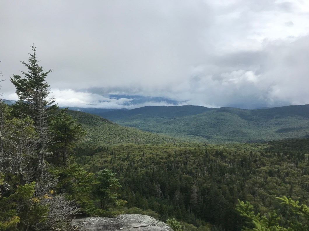
 A look back south at ground covered
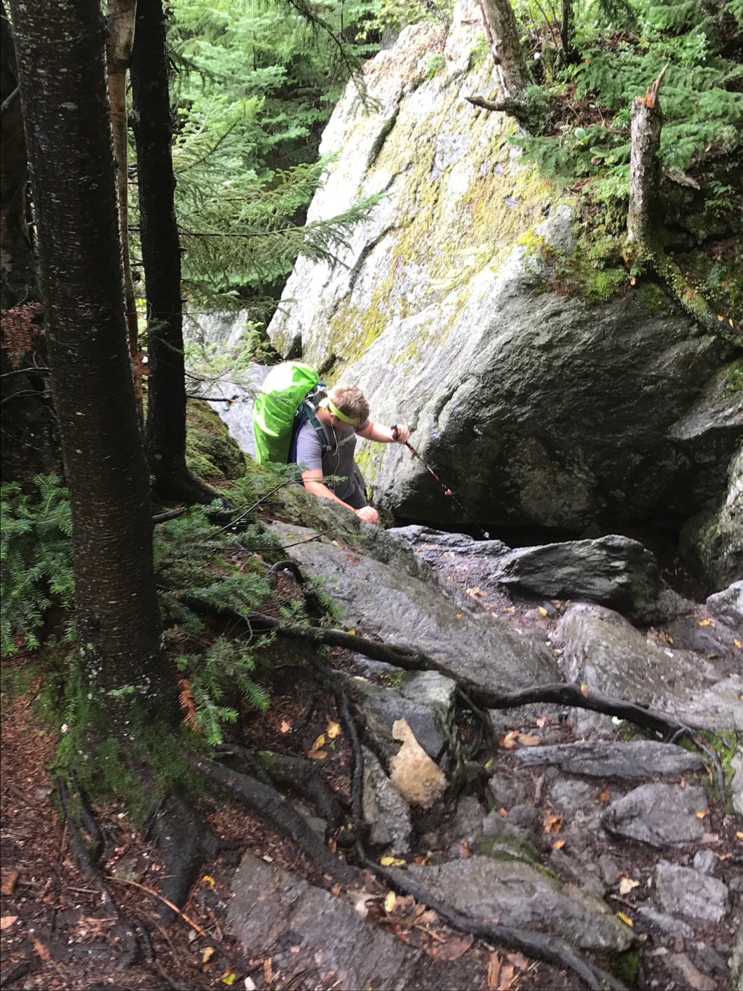 One of the easier sections up the Hump!
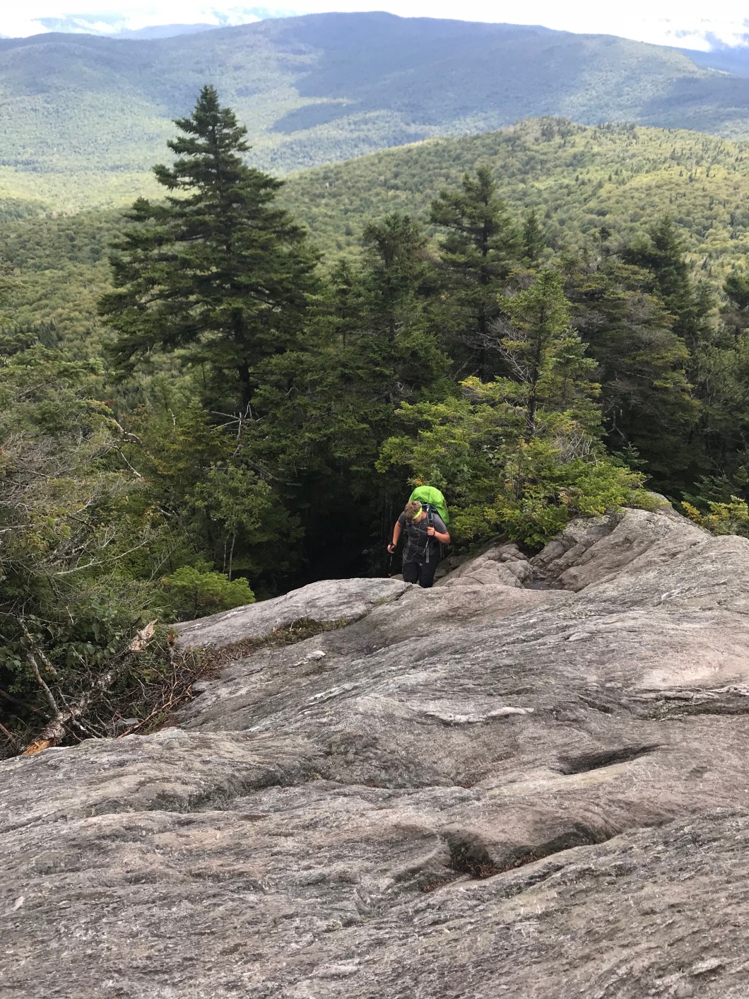 Humpin’ up some rock…
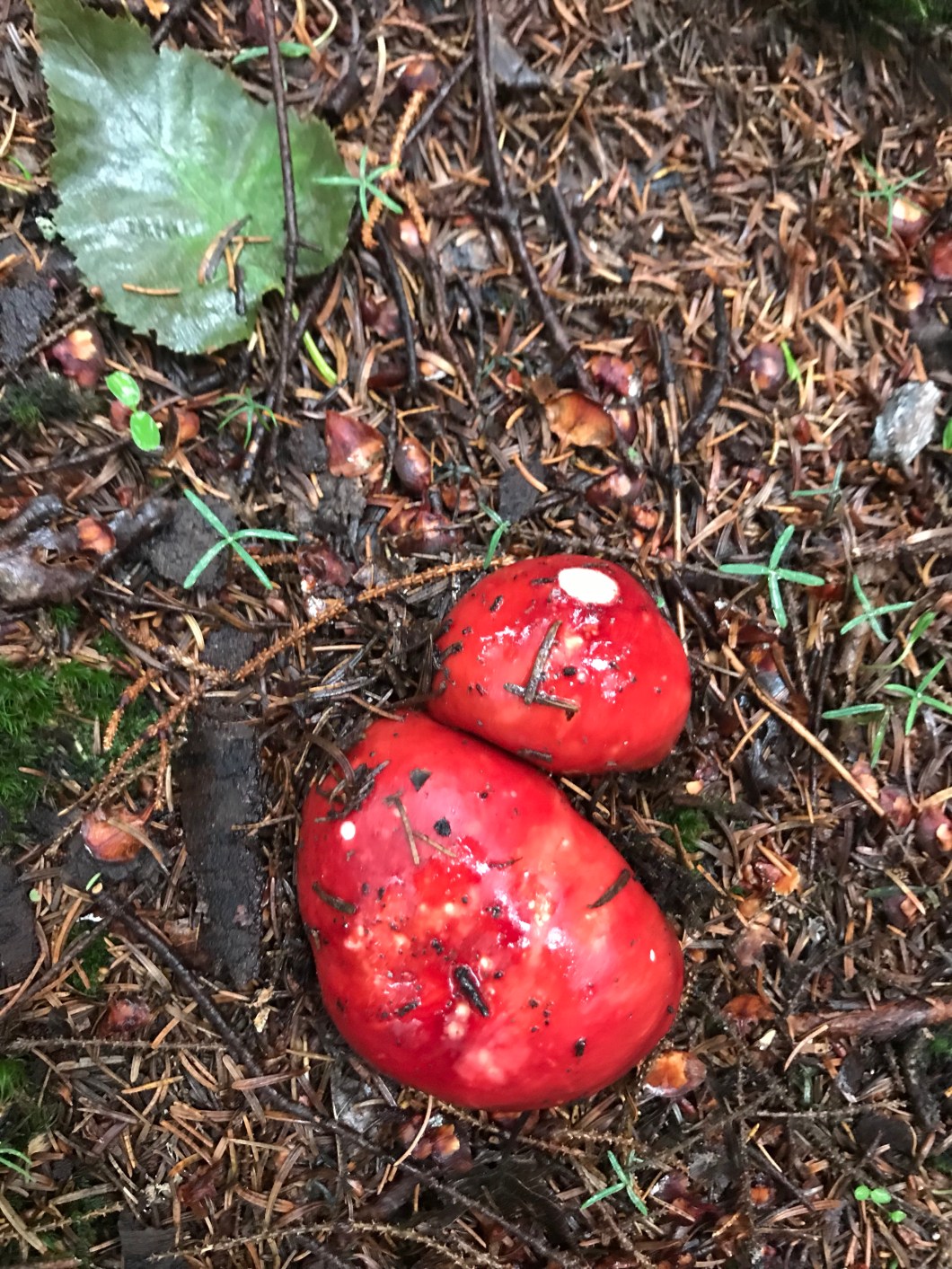 Hey, I hadn’t featured fungi forever
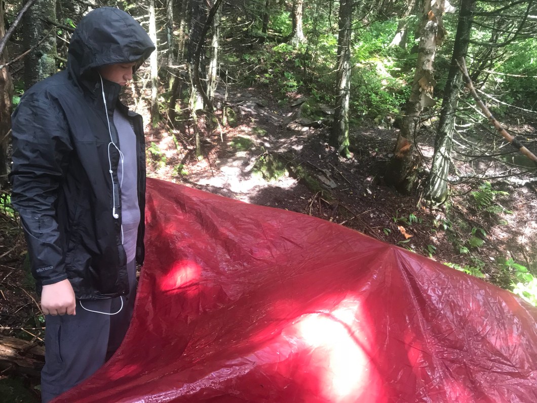 My emergency rain shelter. LMAO
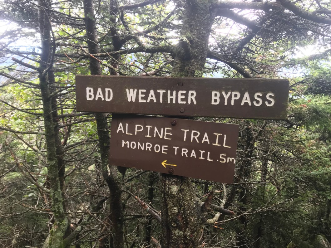 A sign that says you’re on a real mountain
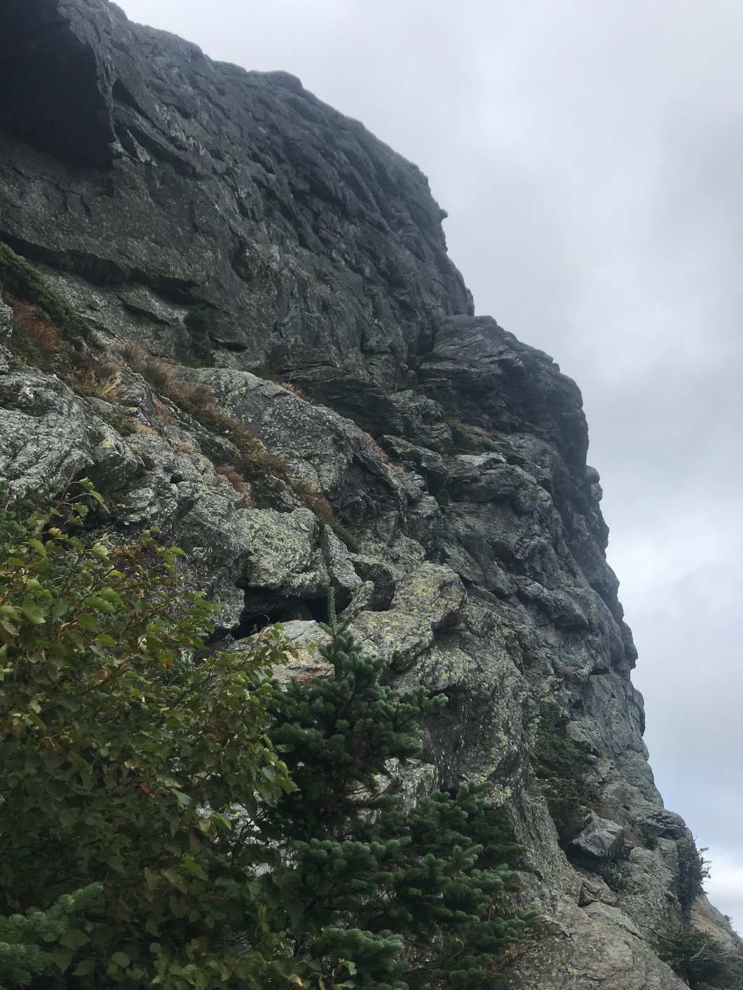 Gulp
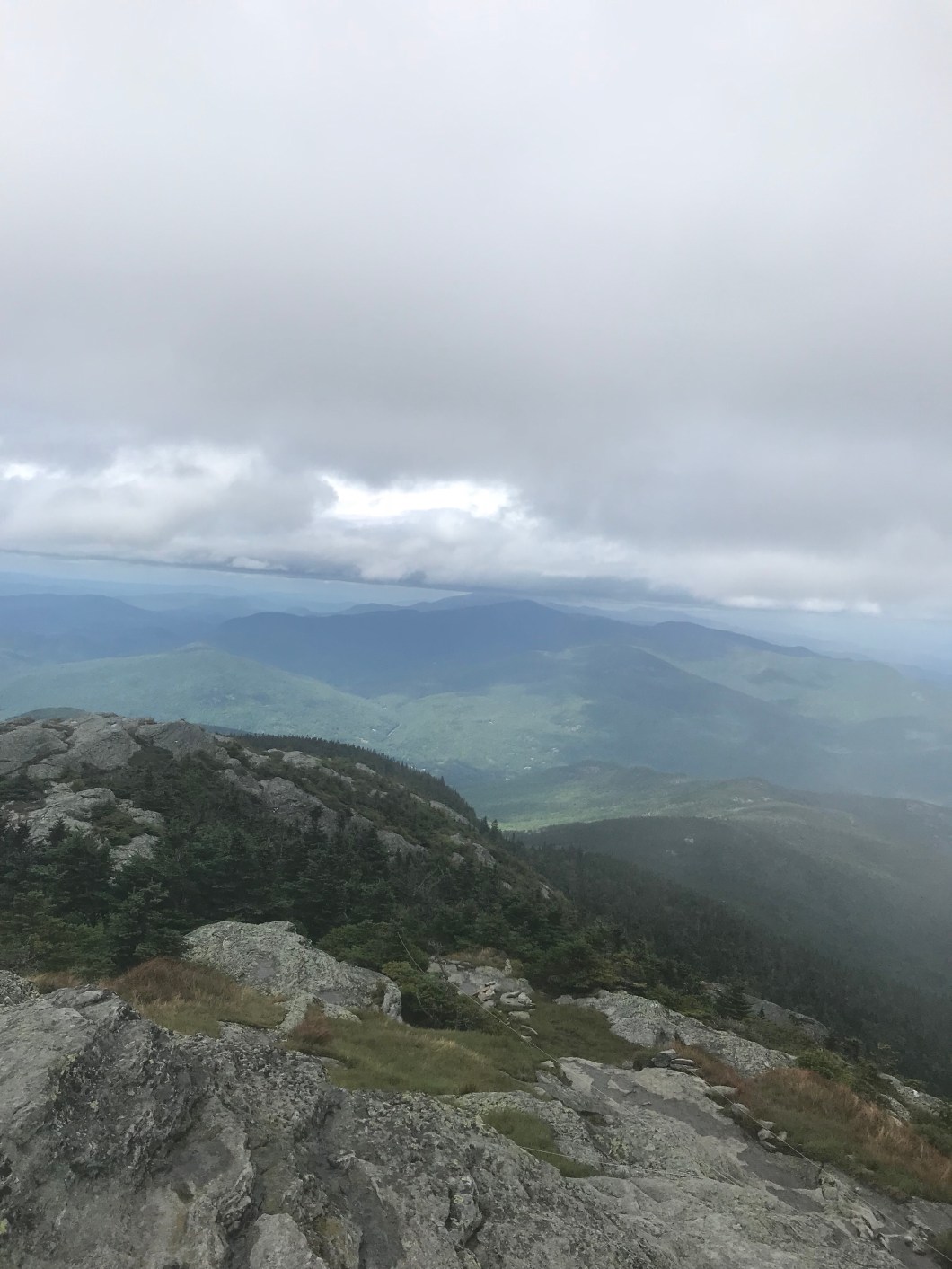
Gulp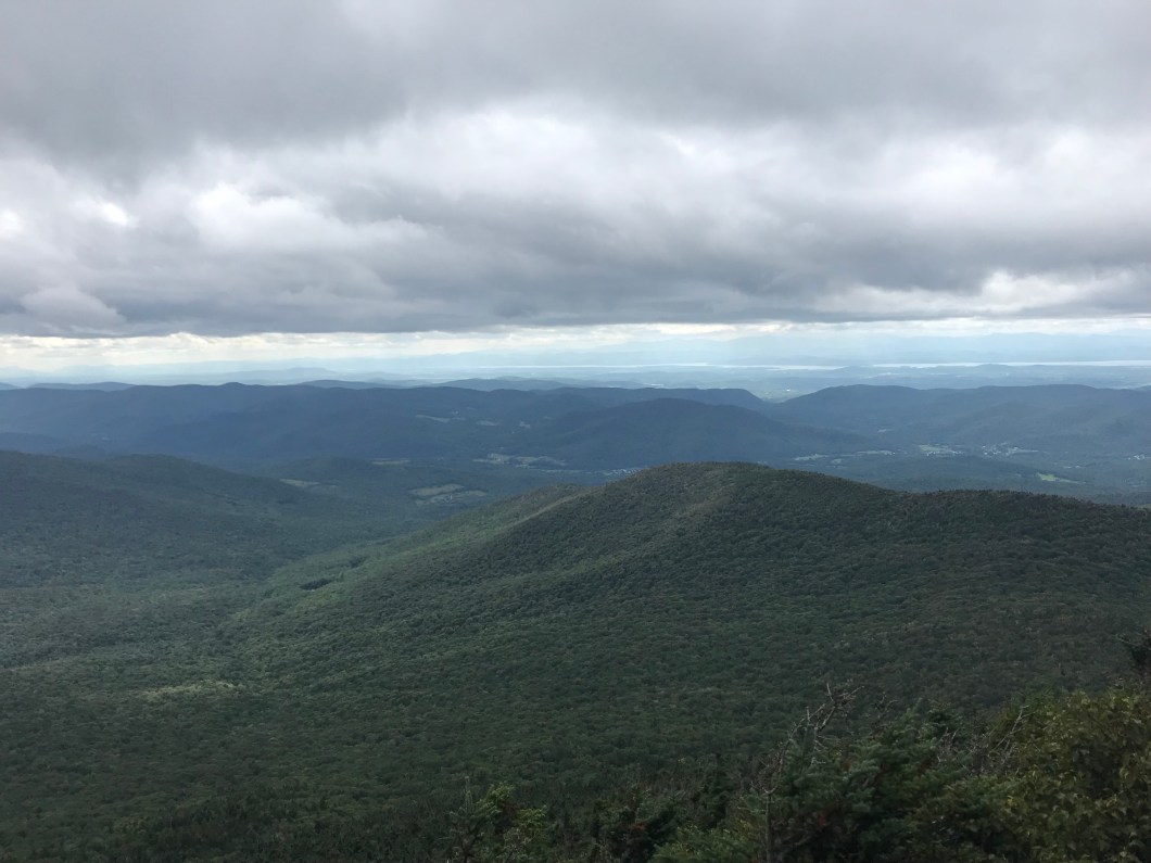 Looking west, you can see the ribbon of Champlain and New York on the far shore
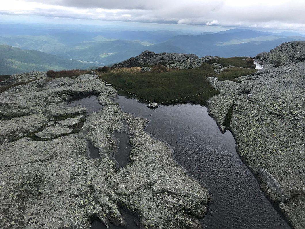 Just liked the colors and the summit vibe with this one
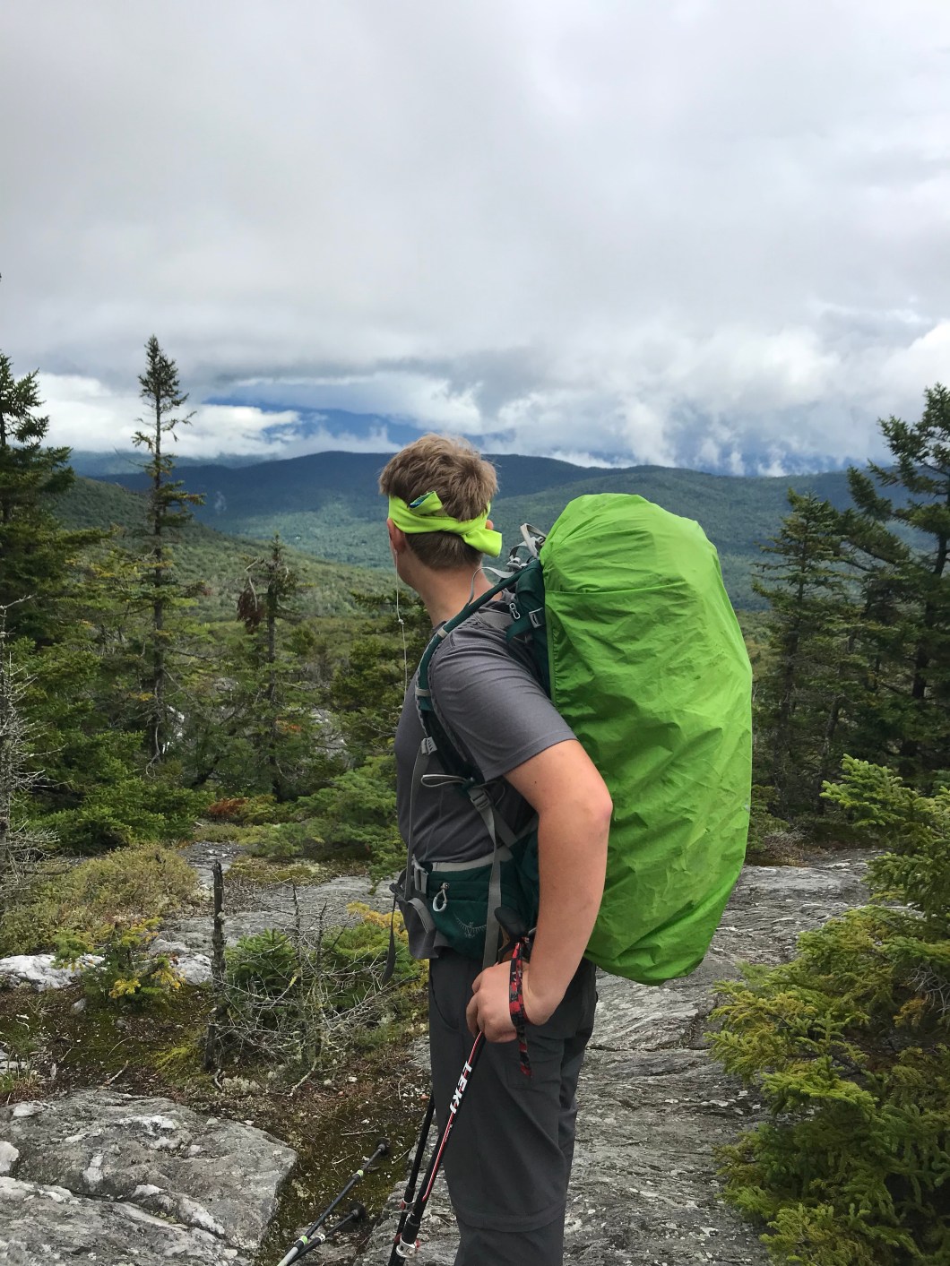
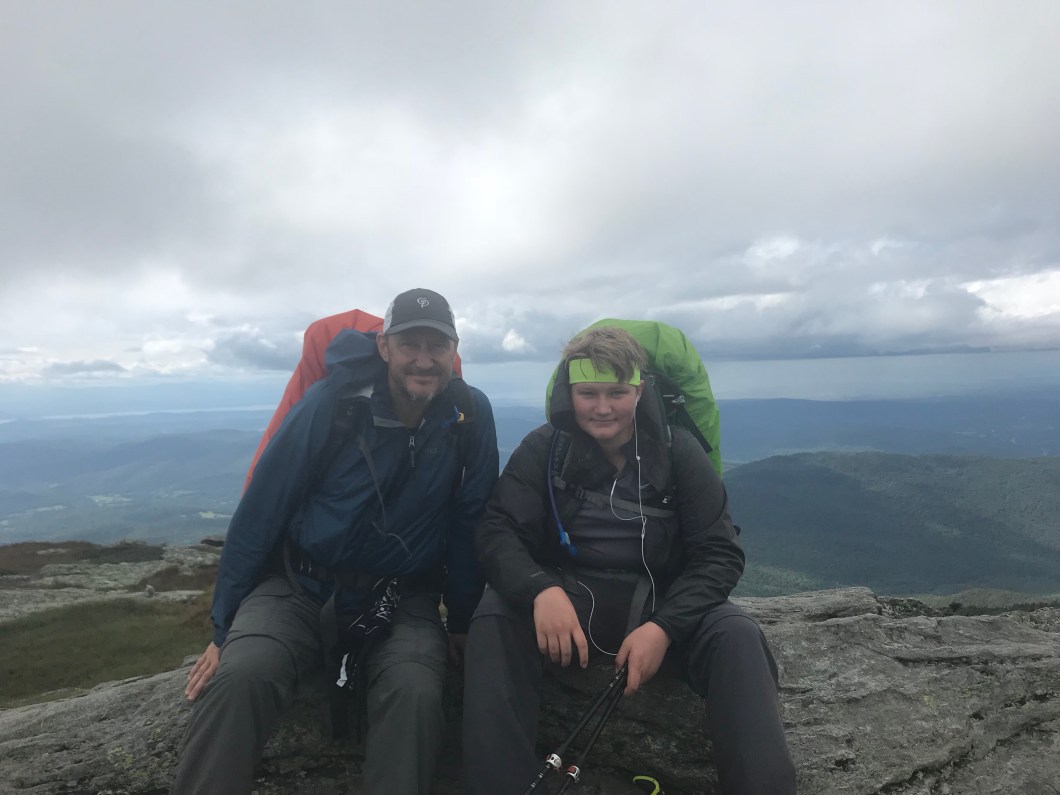 Your heroes atop the Hump. In the vid below, I attempted to narrate but the wind drowns me out. Just know that I am turning clockwise from the south. The road you see is I-89 which is in the Winooski River valley, and the trip down from the Hump is the biggest elevation change on the LT
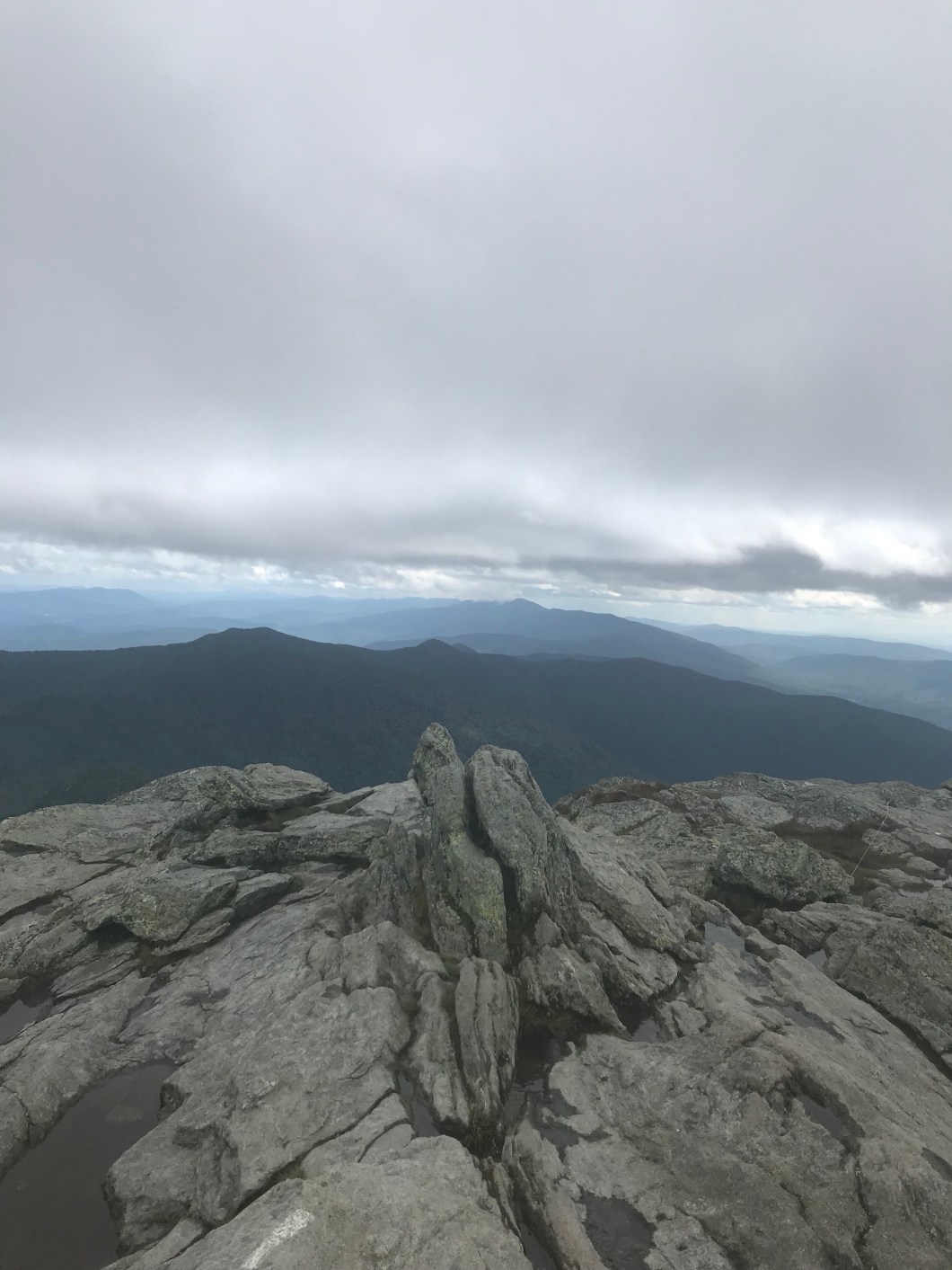
 …and where we’re headed
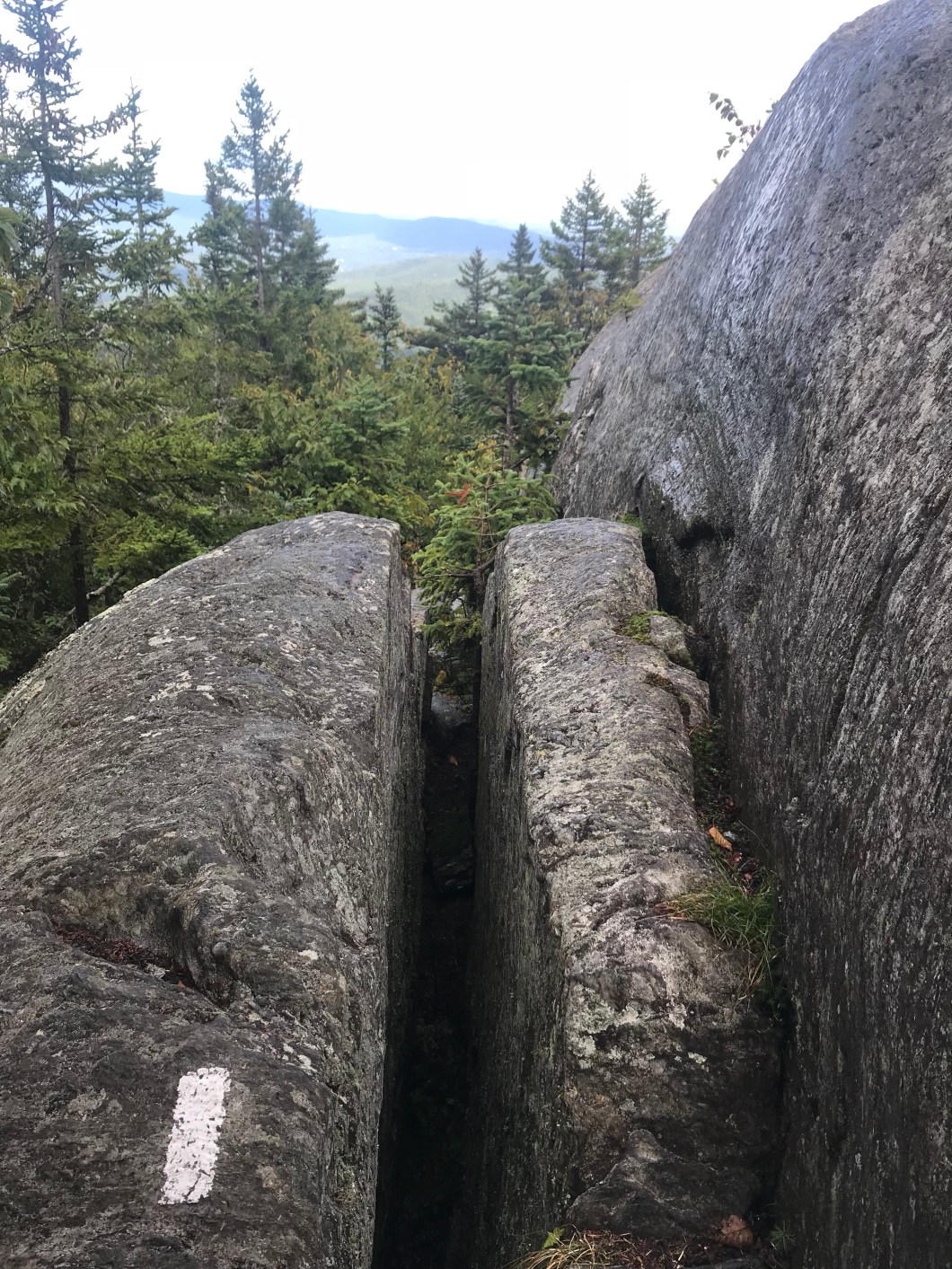 Descending. Trick here is to hug the big rock to the right of the split. To the left you’d go, well, splat
 Cliff does that ol’ descenter shuffle. Doesn’t even look like he has a pack – easy peasy!
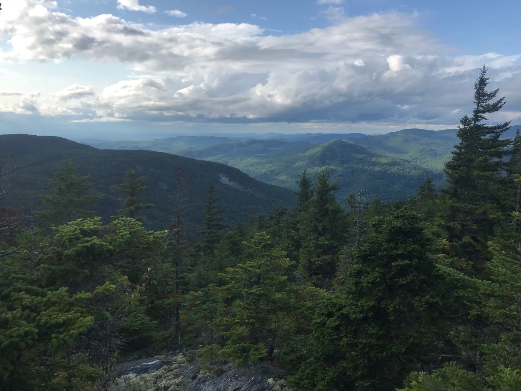 After more rain, we get another nice break heading down
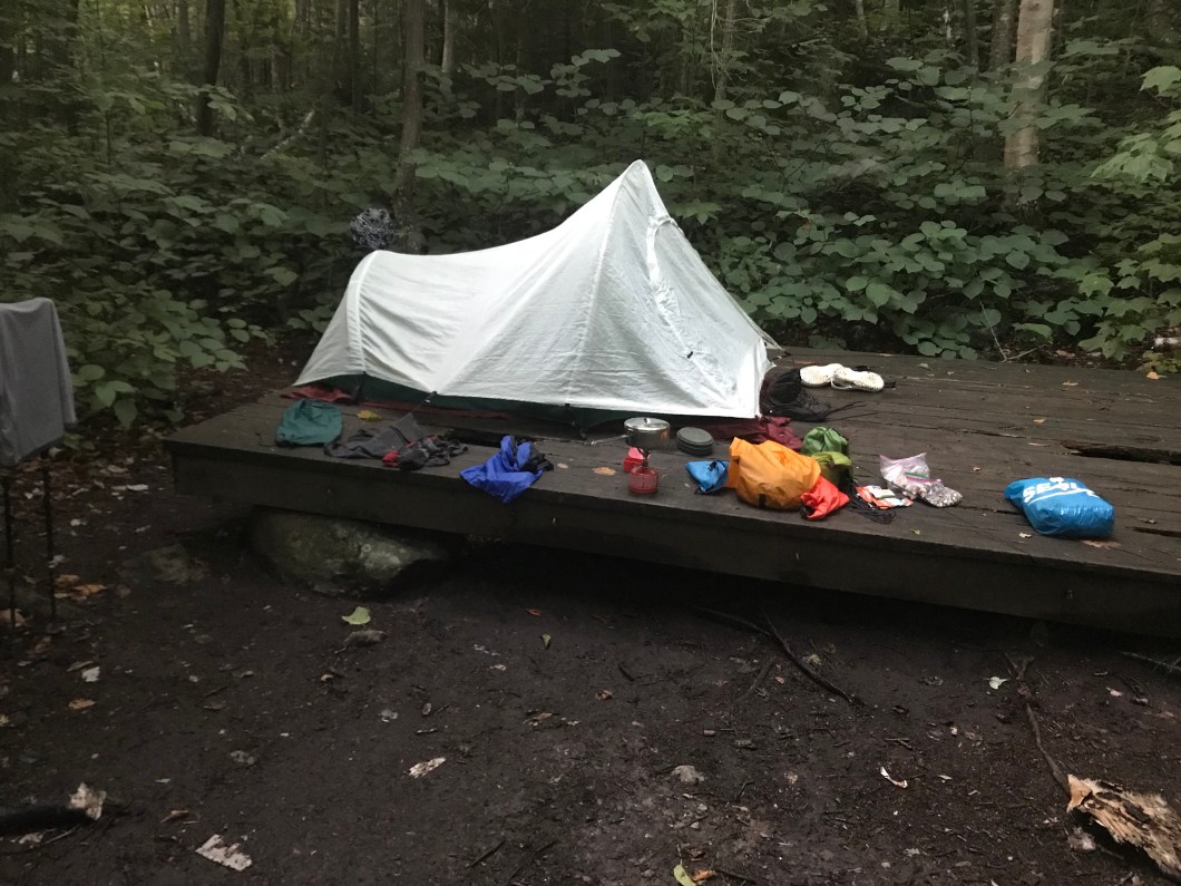 The morning after – our soggy platform and gear
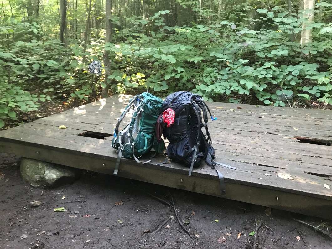 Packed up and ready to roll out a big mileage day as the sun makes an appearance
Hey Chris, Just catching up with your most recent posts. Fantastic pix and your running commentary and captions lots of fun to read. Once in a lifetime adventure! (Please confirm.) Love, Dad.
LikeLike
Thank you for reading!
LikeLike