
Miles: 8.2; Elevation gained: 2,100
For our last day on the LT, we planned on 12 miles – from Puffer on Bolton to Smugglers Notch on the other side of Mansfield, where Marcia, making her third and final supply/welcome wagon trip, would meet us and take us back to what passes for “civilization” these days (found more civility on the trail than off it, but here we are).
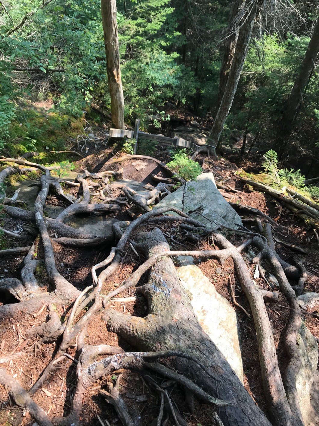
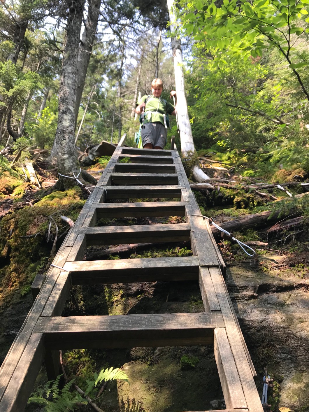
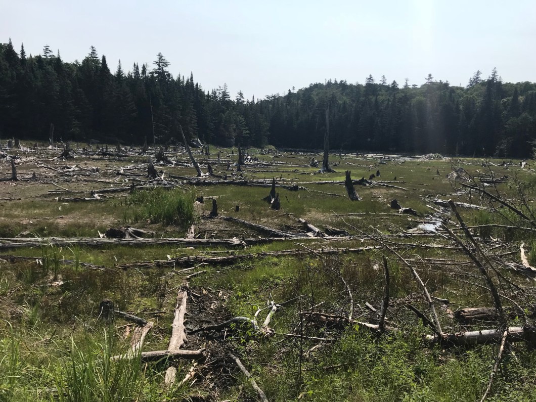
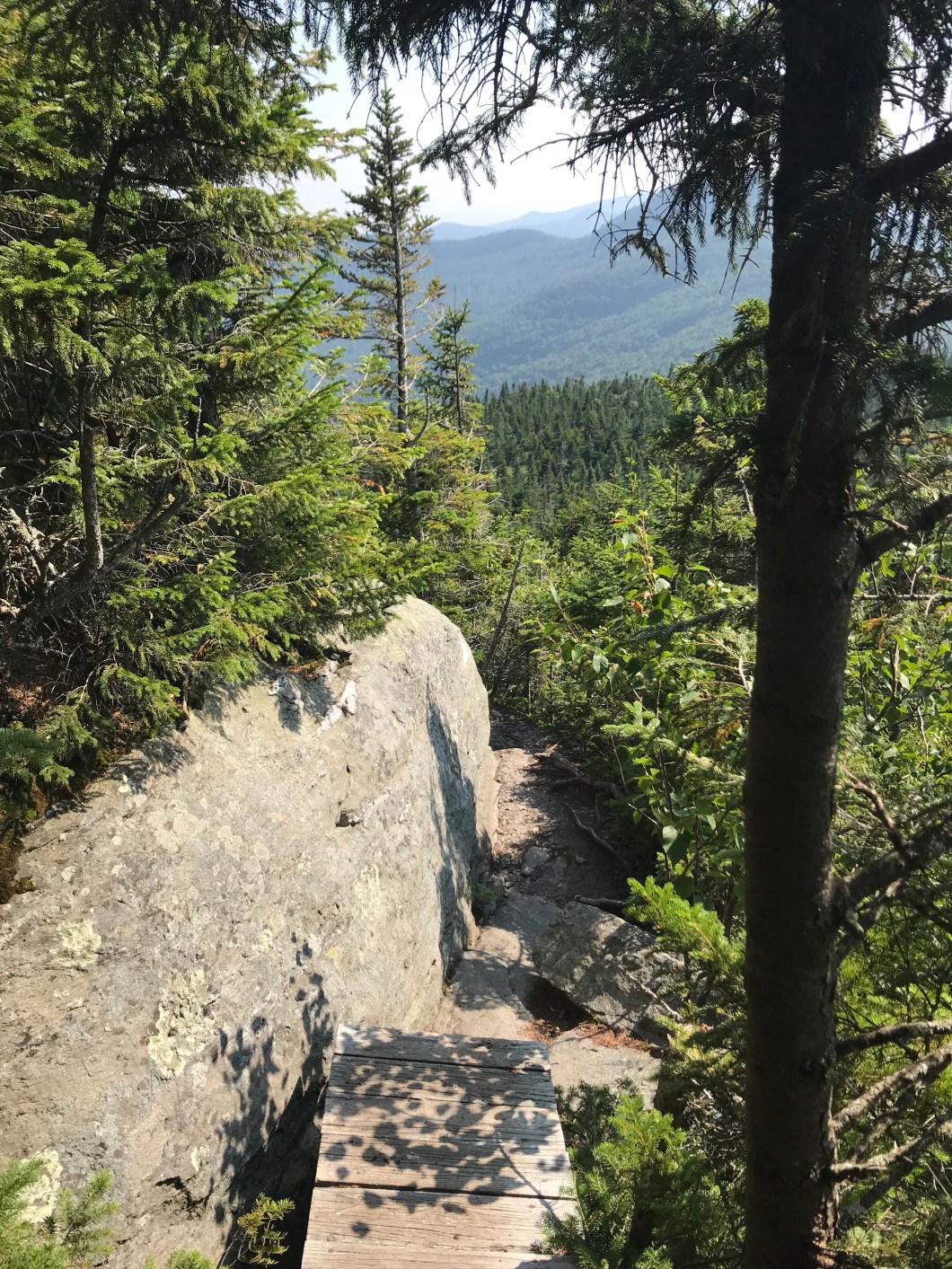
However, if there is one thing we learned, at least about our own hiking abilities, it’s that if you max yourself out on a given day, with a lot of miles and elevation, you’d probably better take it easy the next day. Compounding the yesterday effect was that we we didn’t have a lot of breakfast goodies left, and I thInk we were both in pretty severe calorie deficit, though Cliff the more so as he’s a growing teen. Hence, it was very slow going off of Bolton to Taylor Lodge. The trail passes over the peaks of Mts Mayo and Clark, and the descent off the latter down to a dried up beaver pond is a jumble of boulders, roots and ladders (children’s’ hiking board game?). When we got to Taylor Lodge (as in James, founder of the GMC) we devoured the rest of our lunch supplies: Wassa crackers. Laughing Cow cheese wedges, VT peppered salami, and Justin’s peanut butter packets, (Classic and Honey, dontcha know). With fuel in the tank, we started up VT’s highest peak.
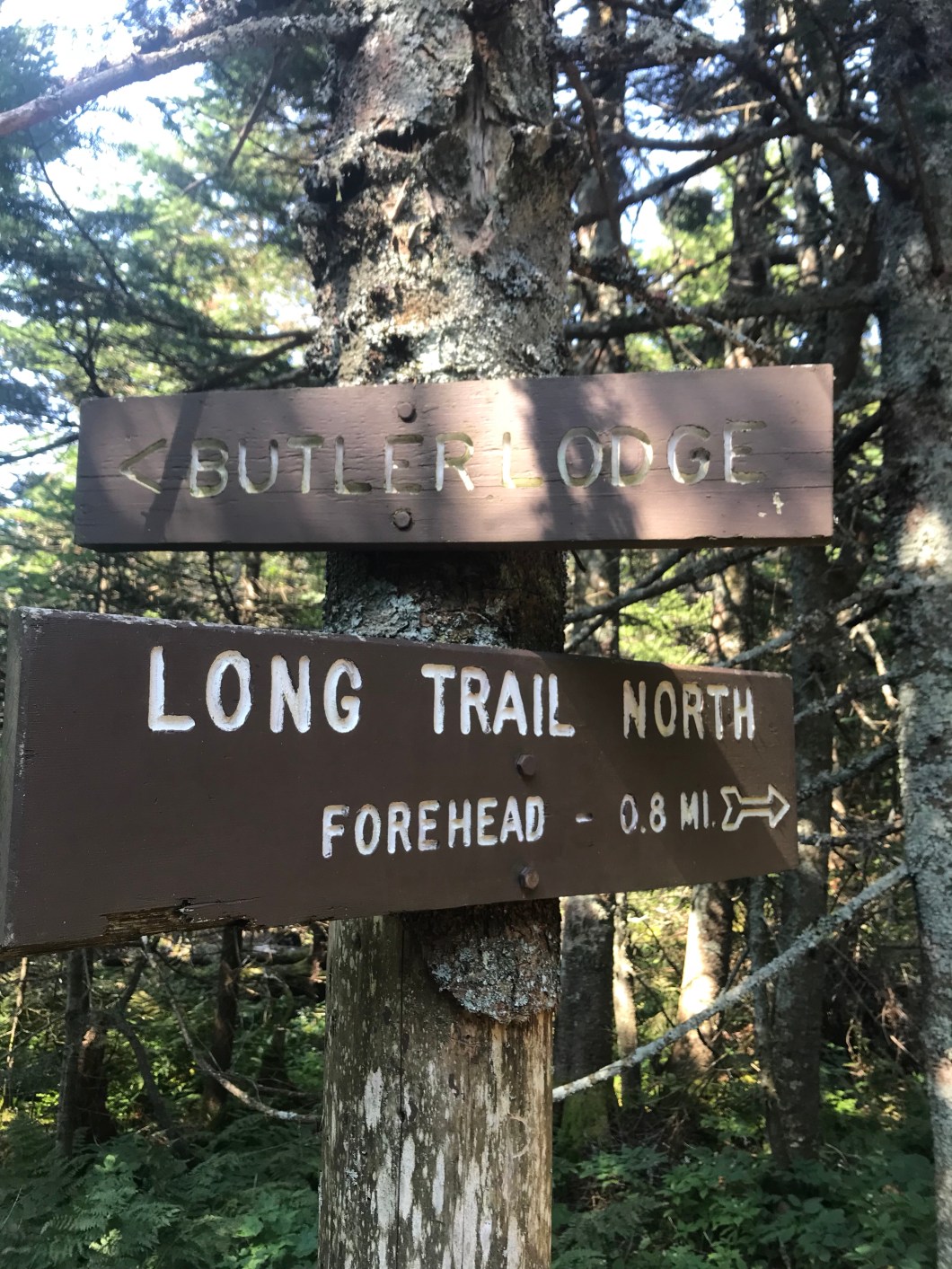
We did a lot better with food in our bellies. The initial climb up to the Twin Brook tent site is steady but mellow by LT standards, and Cliff ground it out in the lead (he hikes better out front, I’ve decided). After that, it gets nice and steep up to Butler Lodge, at which point you’ve ascended from 2,000 to 3,000 feet, moving from deciduous to coniferous, and you get that nice cool breeze that tells you, w/o any other evidence, that you are not in the valley any more. I highly recommend overnighting at Butler if you can manage it – views of the Adirondacks and Lake Champlain, and it’s a lodge so you’re out of the weather if it hits the mountain.
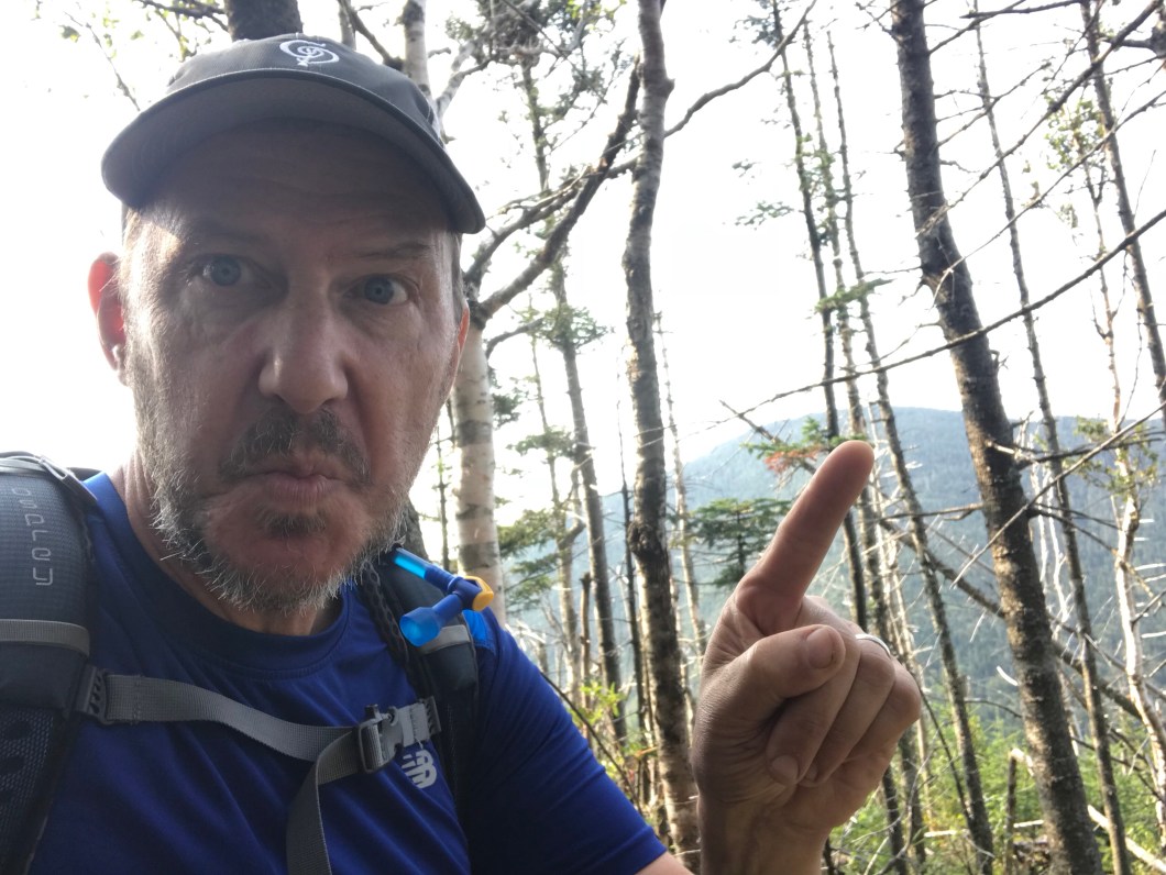
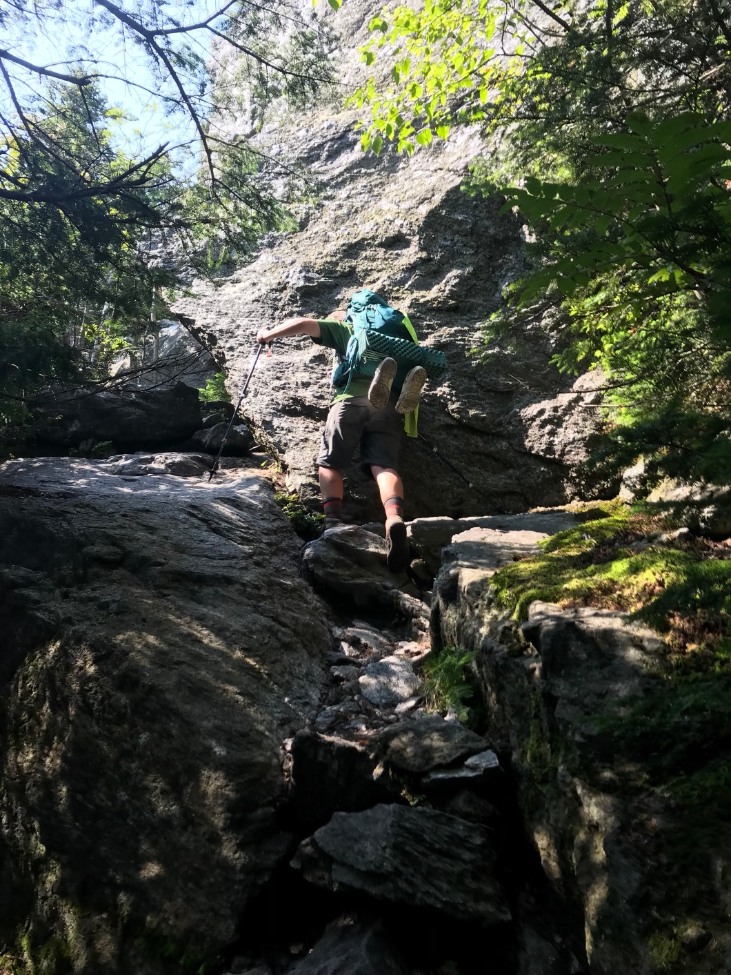
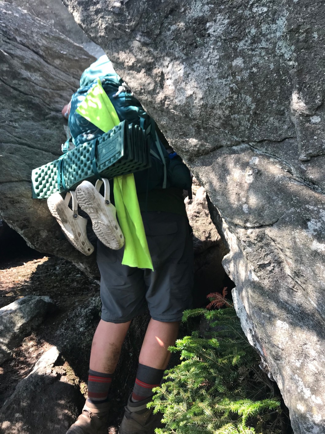
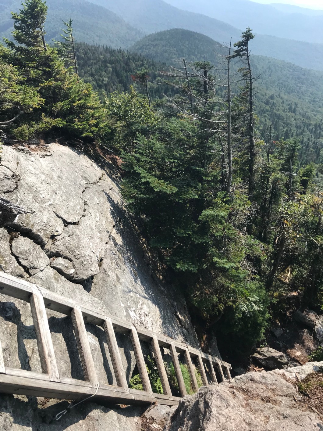
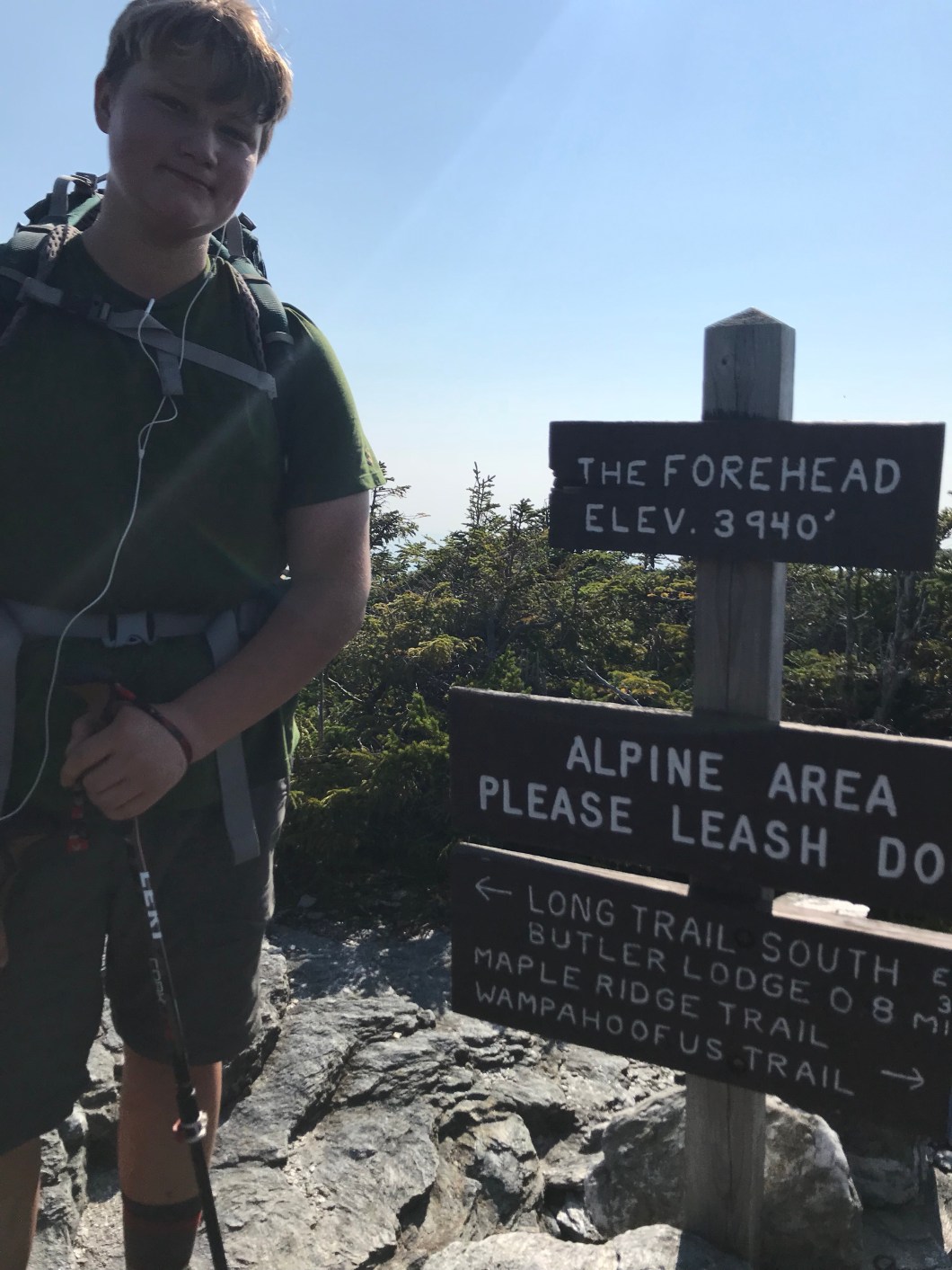
From Butler to the Forehead summit is 0.9 mi. but no joke at all with packs. There are several spots that require upper as well as lower body strength, having to pull yourself up to ledges and boulders to reach the next foothold, or more ignominiously place a knee or your belly on the rock above and just do what you gotta do to climb up and, of course, not fall. There are 4-5 stretches on the LT you can die on and this climb is one of them. Another is the descent down from the Chin on north side of this mountain. On the way up, we met a man and his two teenaged sons going sobo to the Mass border – only the second time on the entire trip that I came across anyone else taking on this particular challenge (the teen part that is).
In any event, we made it to the Forehead summit, but it was already 3:45. From there to the Chin it’s 2 miles, after which the hairy 3 mile descent into the Notch. I decided we had run out of time, as we’d already seen the “Stumble Down Blindly in Darkness” movie twice, and I was not up for a threepeat. There is a toll road that goes up to the the Mansfield visitor center at the base of the Nose (I explain these facial features in the pics below) and we checked to see about closing time, but just missed it – Marcia would not be able to drive up. We went the half mile to the center, and asked the GMC caretaker there about getting down. She described various combos of ski and hiking trails, none of which sounded great for my ankle which I had tweaked again on a root on the way up. At this point a family of three walked up to us, and the Dad asked if we’d walked up from the base. I said we’d been walking since the Mass border (I know – it’s a cheap thrill), and would he in fact like to give us a ride down the toll road? They graciously agreed. As we were climbing in the family wagon, with ladies up front and the boys in back, I said “you’re gonna wanna roll the windows down cuz we smell pretty bad.” Dad said “well, I’m sure we do too after walking around up here (he refers to the 1.5 miles from parking lot to Chin, God bless him), and the ladies want the A/C on.” I think about 15 seconds passed before he hit that button, the signal for all windows to come down for a little aeration. Marcia was waiting at the bottom, and we headed down the mountain road to a hotel.
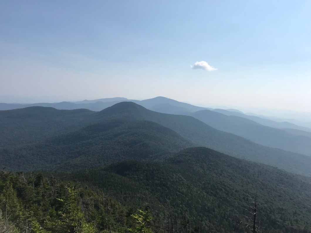
And that’s it, happy campers. It’s bittersweet to be done. Sweet because we were banged up, tired, dirty, smelly, hungry, and longing for soft beds, showers and other comforts for remedy. Bitter of course, because our goal was Canada, not Stowe. We were 68 miles from the border, and though the 5 miles from the summit are some of the roughest on the LT, once we’d finished that, we’d have been done with the most challenging sections. We were both more or less recovered from our respective ankle and trench foot injuries, and the weather outlook was sunny for at least the next three days. We could have been in Canada in 5 or 6 days – the 30th/31st of August. This however would have left Cliff with only a weekend to decompress before school started. I get that and didn’t press it. Well not too much anyway!
So how did we do in terms of pace? As I wrote in the first post, I was shooting for 25 hiking days and 3 for rest. As this was Day 20, it means that barring further untoward events, the hiking calculation was accurate. Even with the three recent 5-milers due to Cliff’s feet, we were on the roughly 11 daily mile pace required. The problem of course, was injury. Though I did tape up and get back out there earlier than than anyone possessing an ounce of common sense would have, we still lost 4 days on the ankle alone. I’d like to say it was unavoidable, but it was a stupid injury that came from a lack of focus. I’m an old dog, but but I think I’ve learned at least one trick for the next adventure: be smart, be prudent, and therefore stay in one piece so you can stay on the trail.
On the bright side (and why not stay there?) we hiked 210 miles despite not having trained much, and next year, we will get to the top of Mansfield already grizzled veterans, and bang out the rest of the trip. As for me, I’ve got the bug. Other backpackers will tell you that as much as you tire of the trail and all its discomforts, you also perversely miss it and want to get back out there. So I am going to let the ankle completely heal (90% anyway) and go tackle the Pemi Loop in the White Mountains before first snow. Eight 4,000 ft peaks in 31 miles. 2 overnights. Gonna demand three days of sunshine on this one though!
Several friends and family asked about weight loss. Well, yeah. it happens. There is no way you can eat enough to keep up with what you burn on the trail. First, you’d just be eating constantly, but then, to do that, you’d have to carry more, and that is a big trade off. Most thru hikers carry 4-5 days of food maximum. You can carry more for sure, but you will lose mileage, and the weight is hard on your body. What the trail did to my body is probably no different than many other folks: I went from about 219 lbs to 203. This is a lot in 3 weeks for sure, but more striking is the redistribution. What I mean is that because you are short calories, your body directs incoming nutrients to your hiking muscles, and completely neglects everything else. Maybe someone out there can confirm or deny what I suspect: that the body actually cannabalizes itself by atrophying muscles it doesn’t need. All I know is that I can see my ribcage and sternum for the first time in years, and I dropped about three waist sizes. In addition (subtraction?) I can only do about 25% of the consecutive pushups I could rattle off before the hike. That seems pretty radical. I was down to 198 a few years ago and observed none of this, so my conclusion is there are probably better and healthier ways to lose weight. But I’ll take it!
This is not the last 2018 post, but the next one will be about gear – what we had, wished we had, and some do’s and don’ts – mainly for folks who want to hit the trail, or at least muse on it.
Thanks for reading!


Congrats! Looking forward to hearing about the finish next year!
LikeLike