
Miles: 13; Elevation gained: 1,200 ft; Mile reached: 187
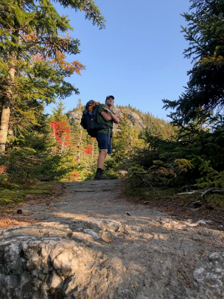
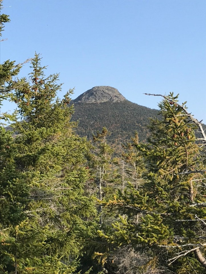
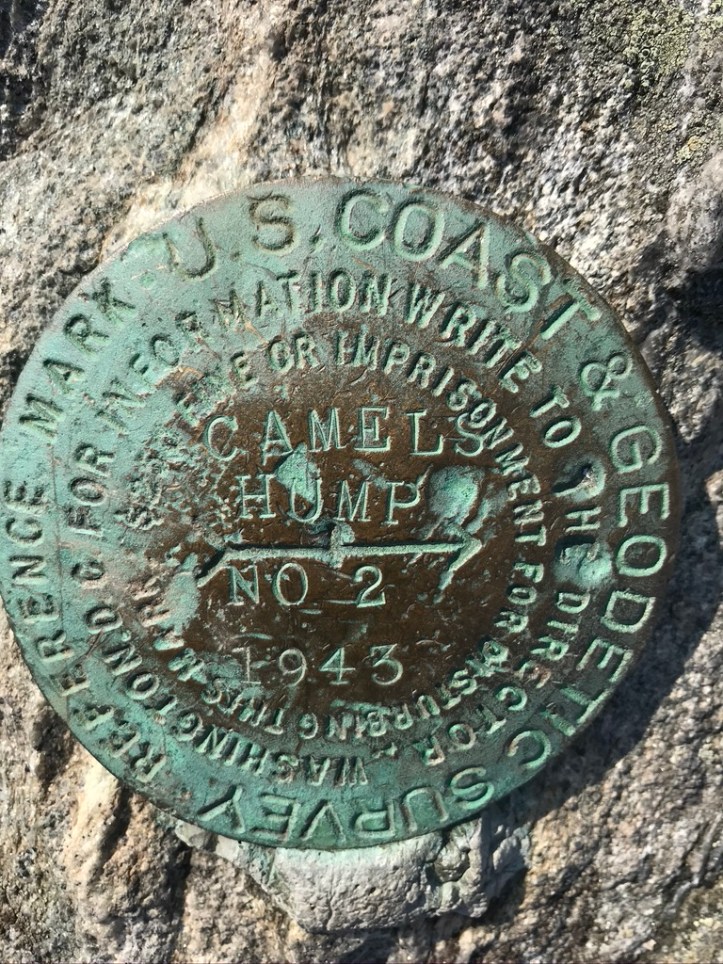
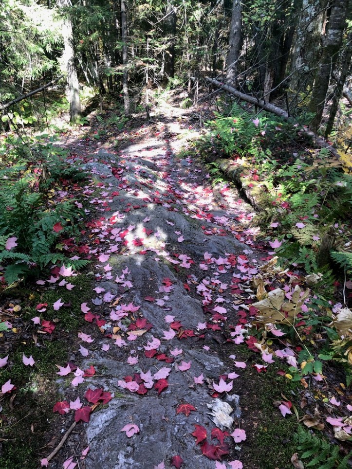
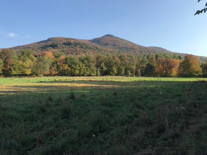
Today was Hump Day for us, despite it being Saturday and not Wednesday. Camel’s Hump that is. The caretaker at MG Lodge told us that GMC expected something like 800 people to summit the Hump, owing to a good forecast, the weekend, and near-peak foliage. It’s a great mountain – one of VT’s four 4,000 peaks, and that distinctive, rocky, craggy crown on top informs the name. Like Mansfield though, the Hump takes on a different appearance from each direction’s vantage point. If you are approaching from the south or north, it does look like a solitary hump (actually from a distance it’s more similar to another body part but we won’t go there at present). However, if you are looking at it from the east, as anyone driving north on I-89 can see, there are actually two “humps,” with the one on the left – the southern one – having a pretty dramatic, vertical drop off on the southern side. This is pretty typical in the Green Mountains due to the glacial action, so if you’re hiking north on the LT, you are faced with steep ascents and more gradual descents. This is definitely the case on the Hump, and even more pronounced because the north side slopes all the way down to the Winooski River valley – from 4,083 at the top to 349 ft at the Duxbury Road parking lot, easily the biggest elevation change on the trail.
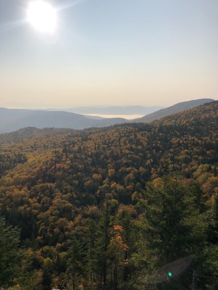
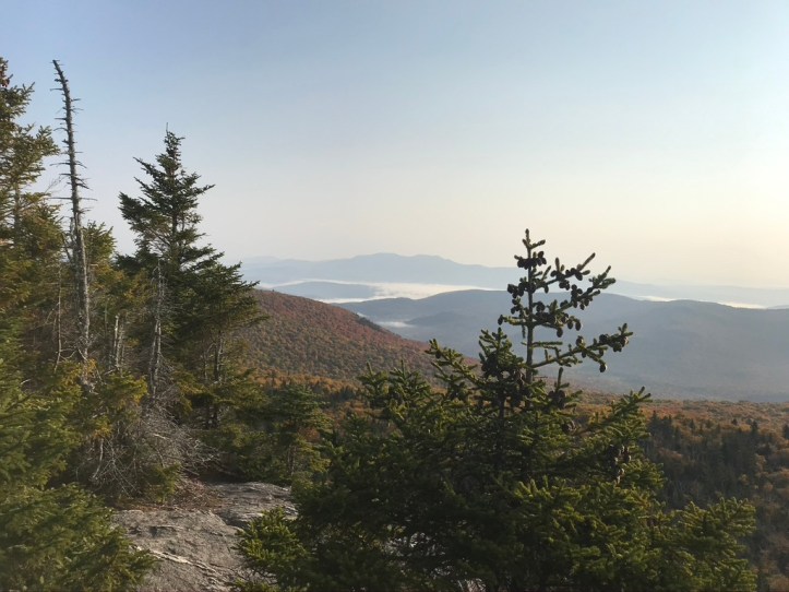
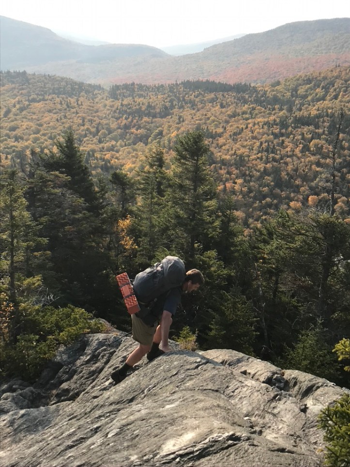
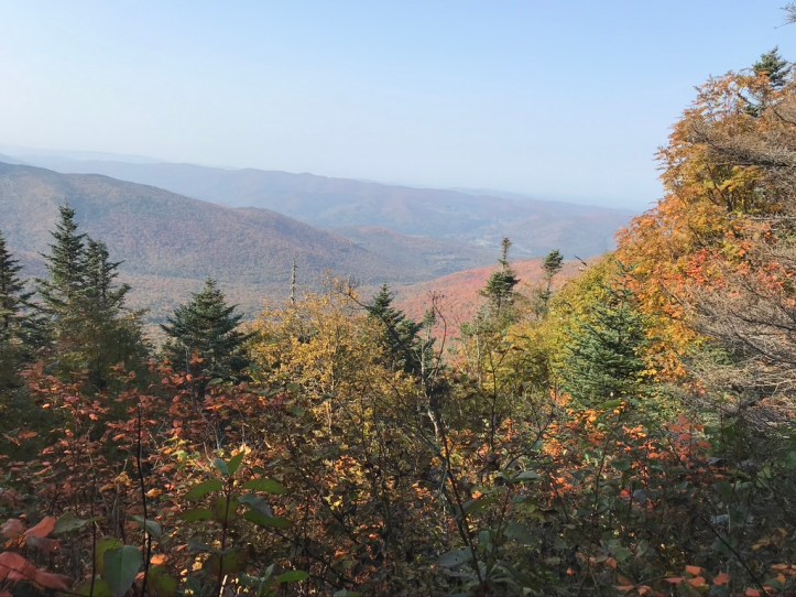
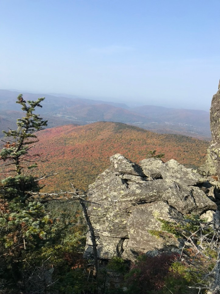
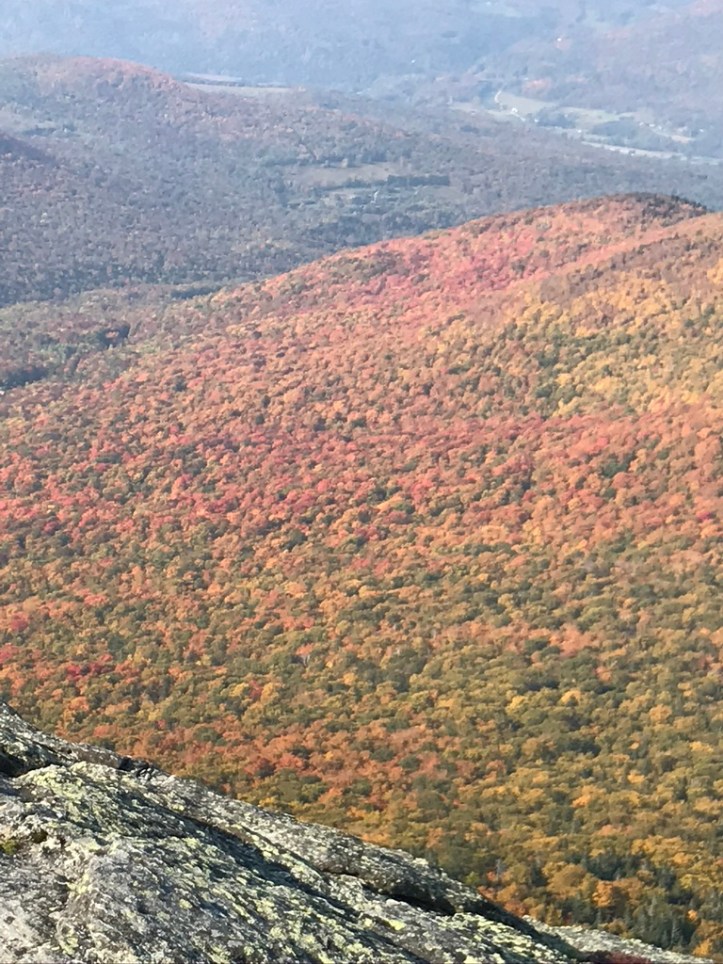
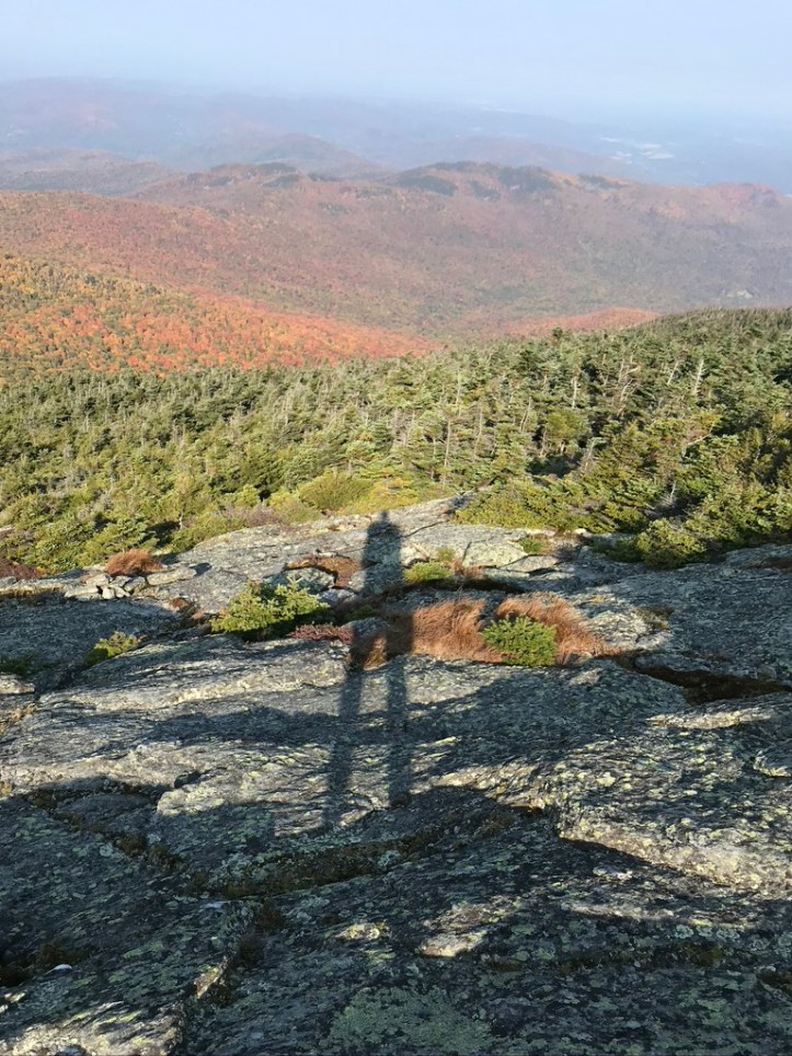
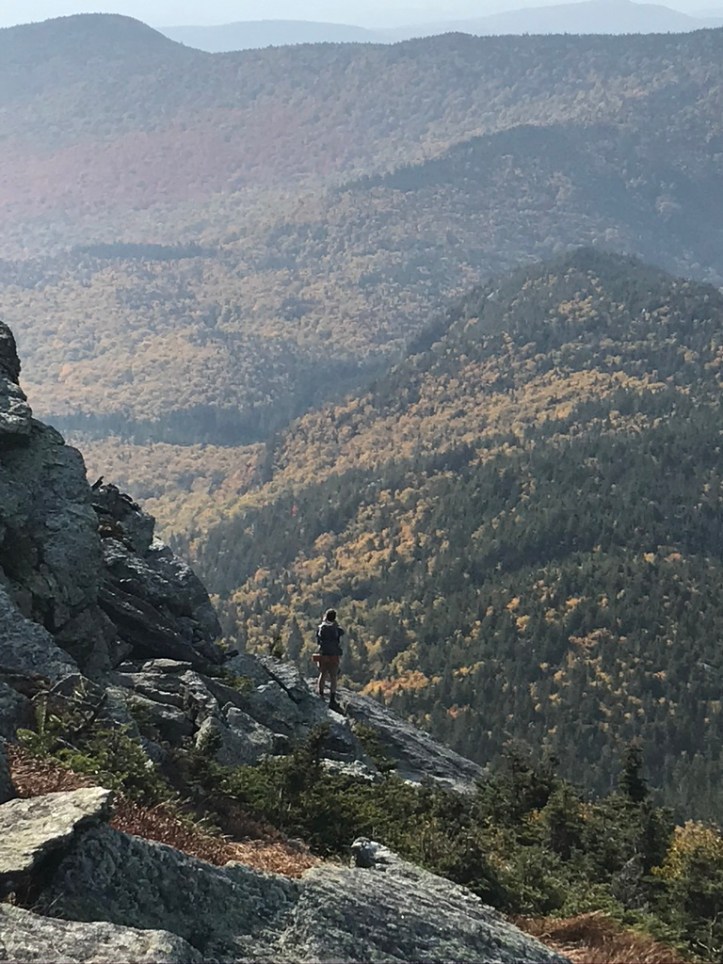
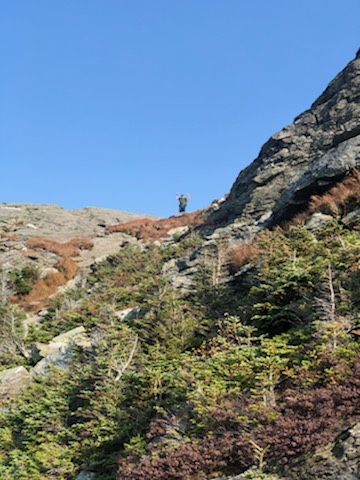
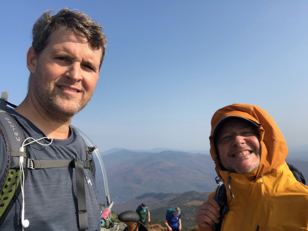
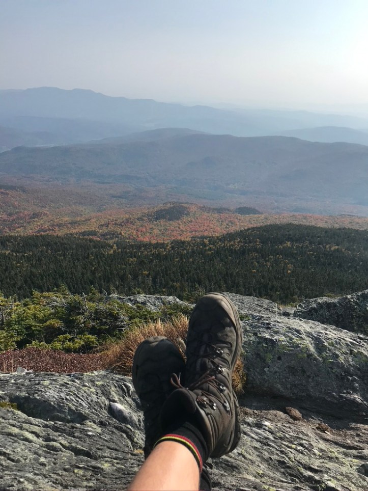
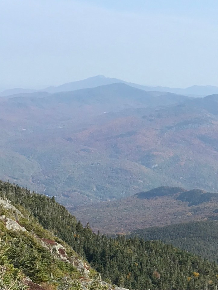
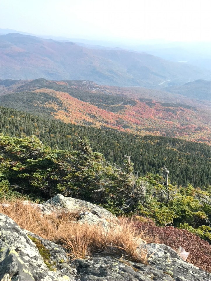
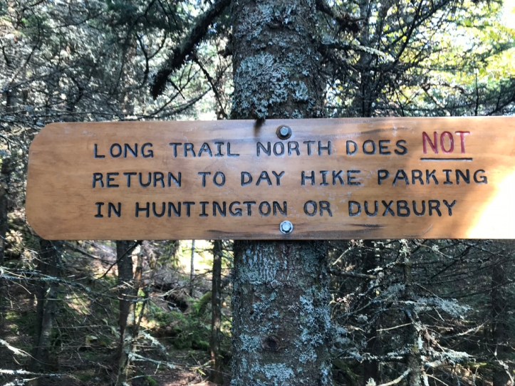
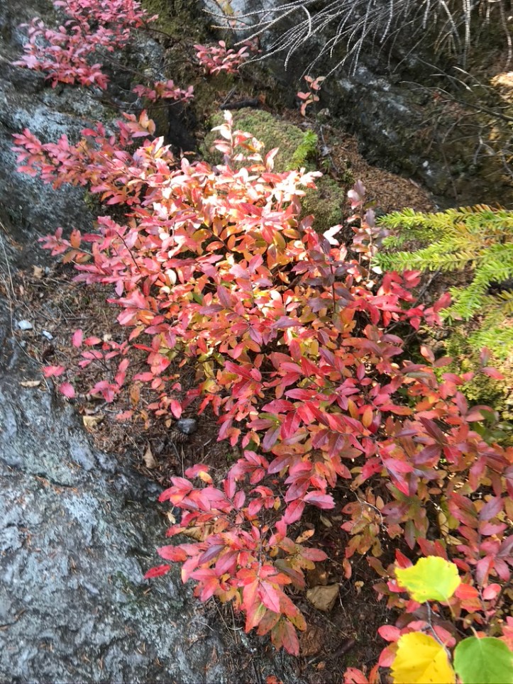
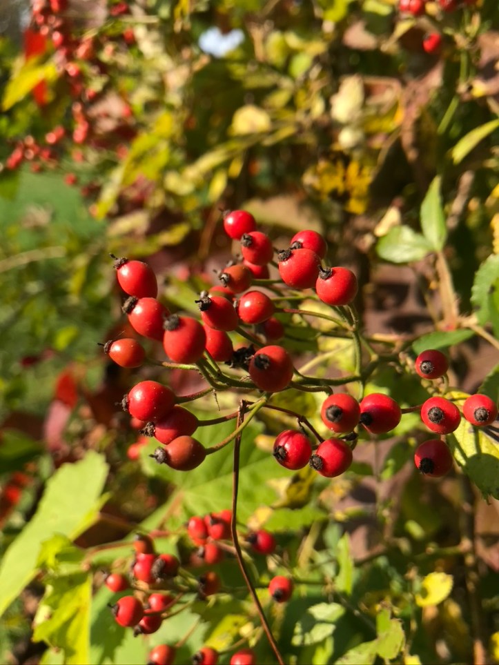
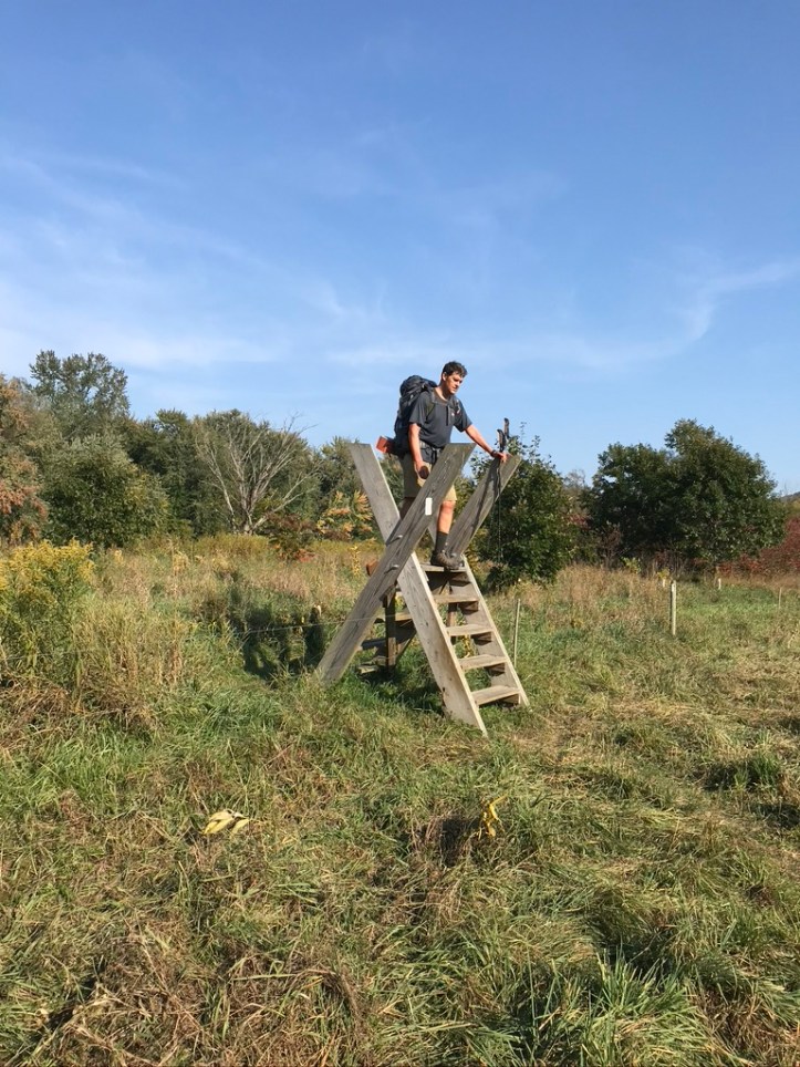
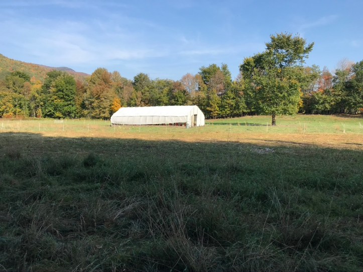
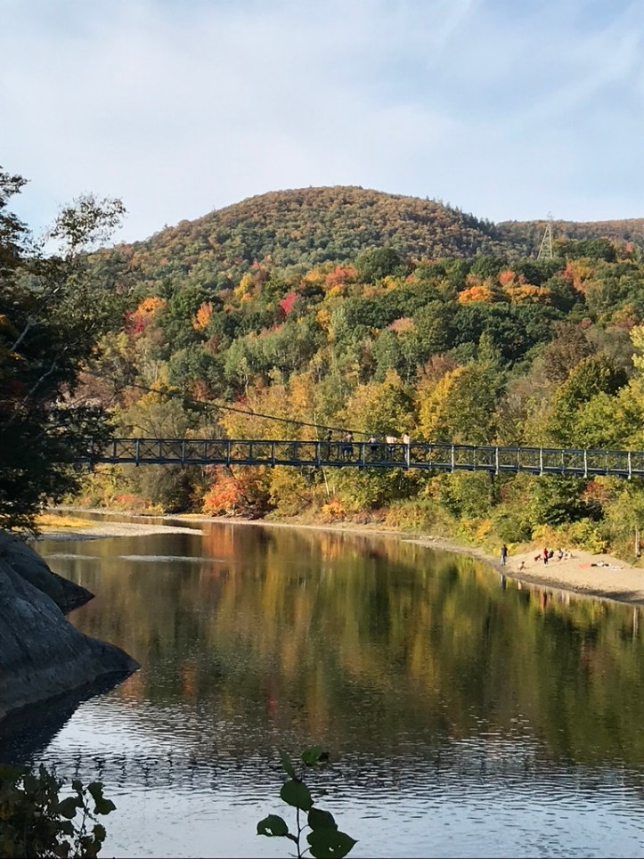
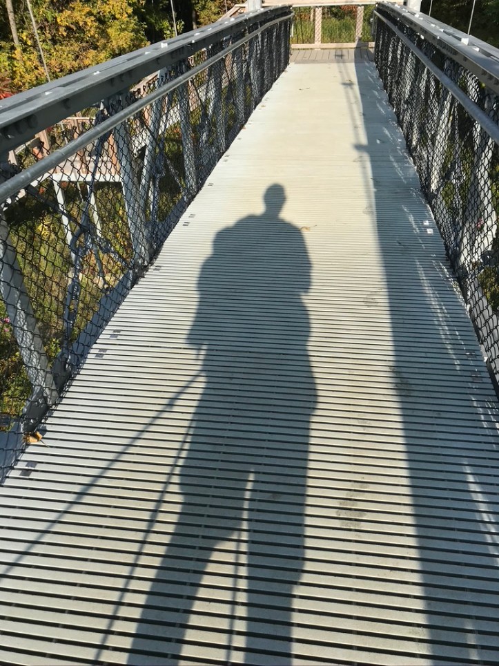
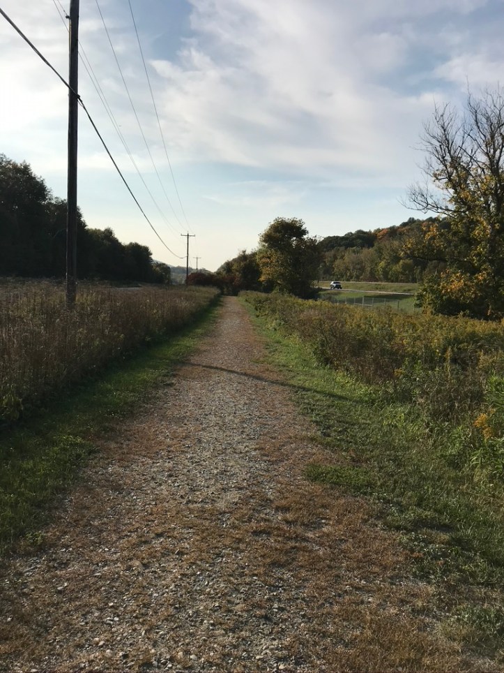
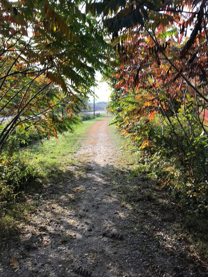
Weather on the big summits is always crap shoot, but today we rolled sevens – as soon as we started poking our heads above the trees, we knew we had a good one, as you can see in the pics. The caretaker was right: even at 9:30, there were already about 50 people on the summit, and more were snaking up the side trails like pilgrims. We spent about 45 minutes up there and started the long trek down. We lunched at the Bamforth Ridge shelter (where I have overnighted in thunder storms twice with family) and got down to the road. The distance from MG Lodge to Buchanan, is about 17 miles, which was too long for us today with the Hump in the middle, and Bamforth is only 5.4, so we toyed with the idea of staying in an establishment in Waterbury but decided that was too lame given we had spent only one night in the woods since Waitsfield. So we settled on the idea of stealthing it somewhere on the long approach to Bolton on the north side of the river. It’s a long, flat trek along the Duxbury Road and through farm fields in the valley – really not another place like it on the trail. Check out the kids jumping off the hiker bridge – and I didn’t think the water there was more than waist-deep, especially in a dry year like 2020. But they knew better!
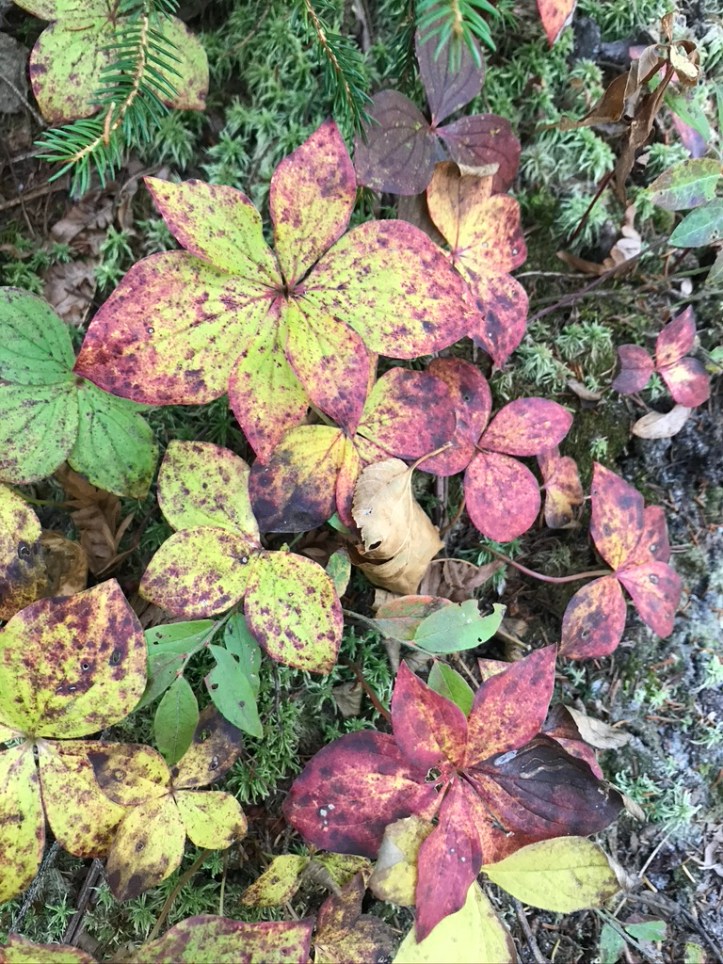
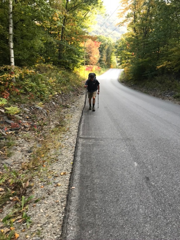
We found a spot about 2 miles in from Bolton Notch Road – there aren’t really any established stealth sites yet on this portion because the LT route here is still pretty new, but pitching where no one has before can actually make for a softer sleeping surface if you choose wisely. There was a porcupine waddling around while we made dinner, and I’ll just note here that this seems like a banner year for them, as well as chipmunks. It was warm enough to sleep without the fly on the tent, which means looking up at the trees and stars. Better than burrowing your face in your stinky bag cuz it’s cold out!


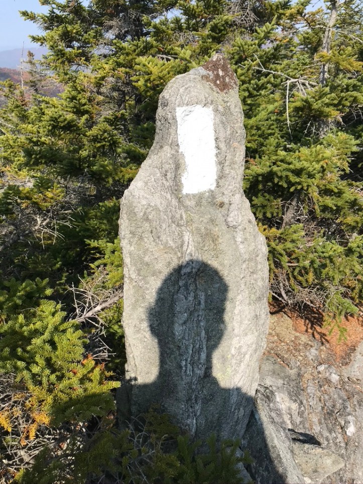


I think Chris found the piece of sole dangling off my left boot pretty amusing
No, I did not encourage him!!

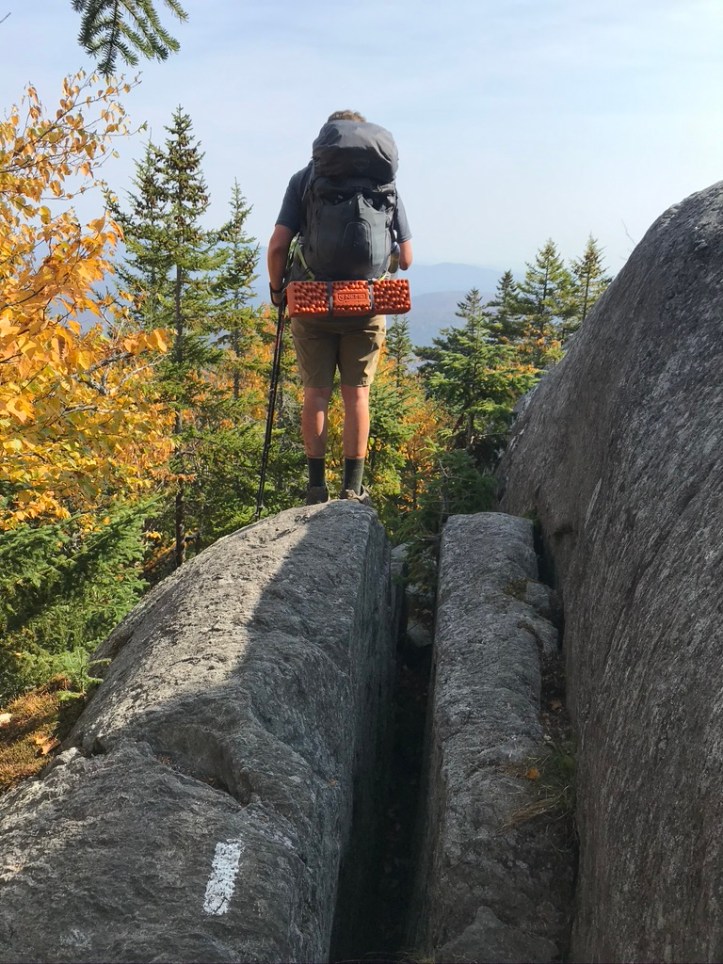
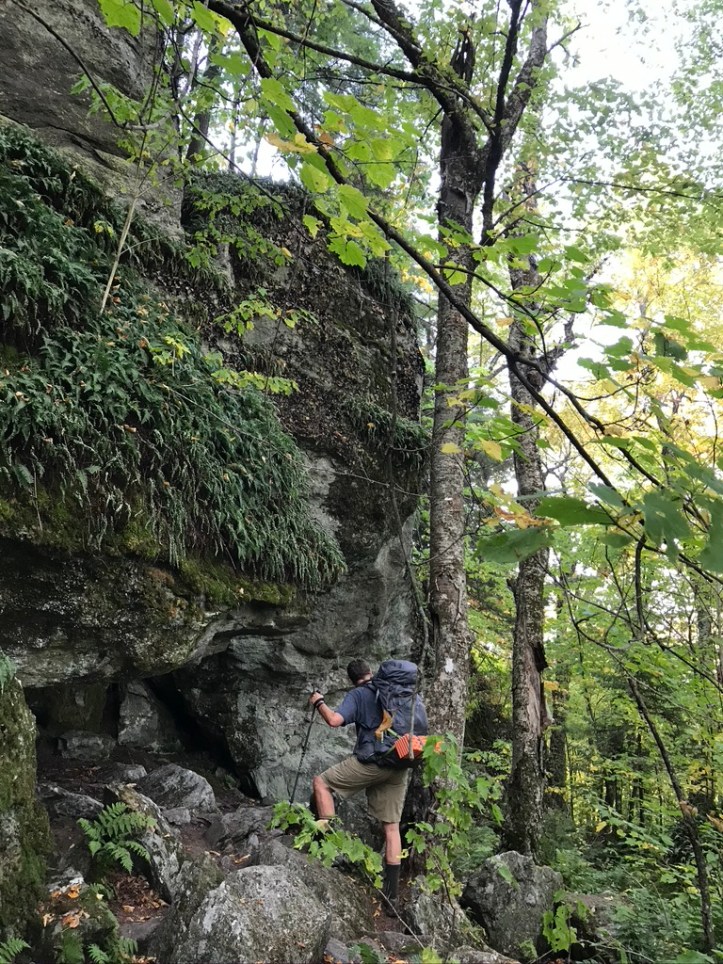
Absolutely glorious! But looked the most dangerous of all. Reminding me of how much I have missed in life. Thanks for the tour.
LikeLike
Looks more so than it actually is. Mansfield was dicier for sure. Stay tuned!
LikeLike