
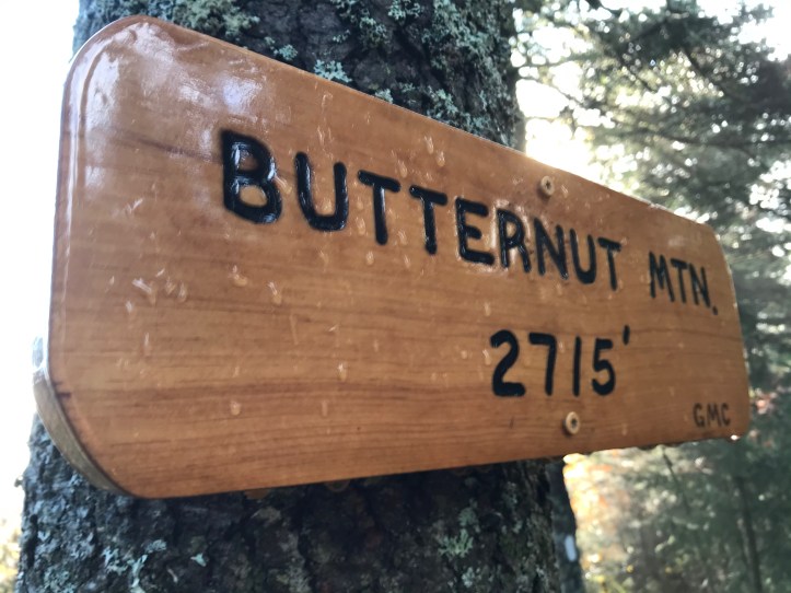
Miles: 14.5; Elevation gained: 4,252 ft; Mile reached: 247.9
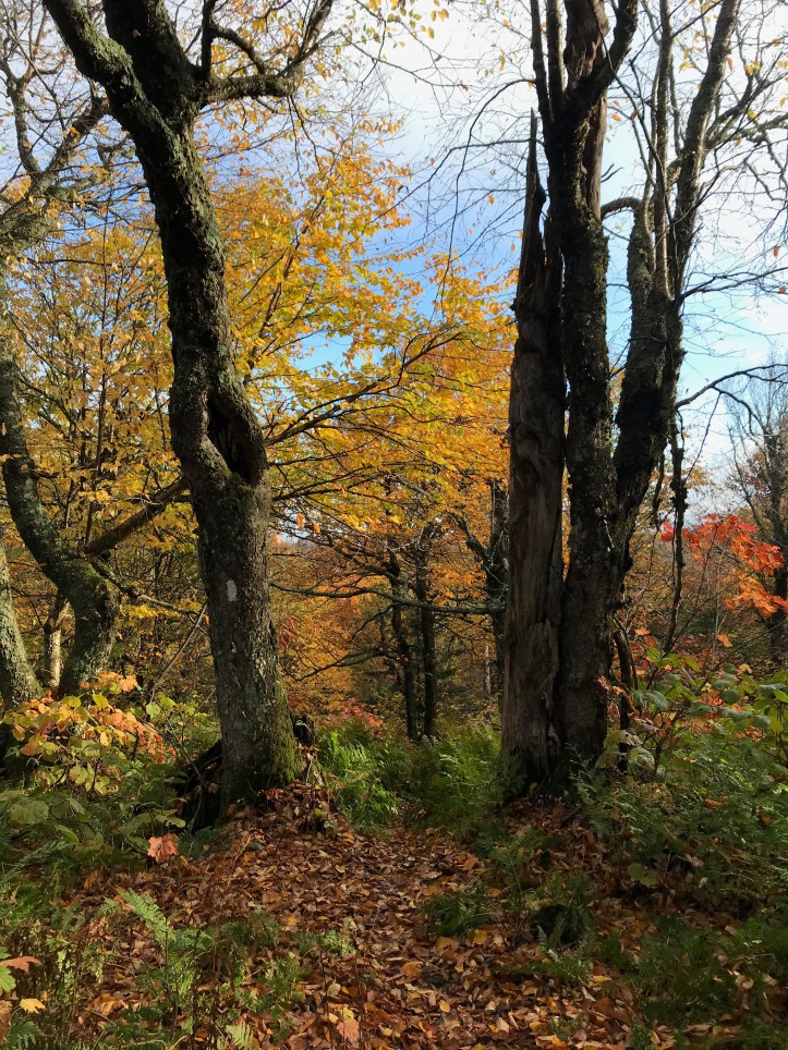
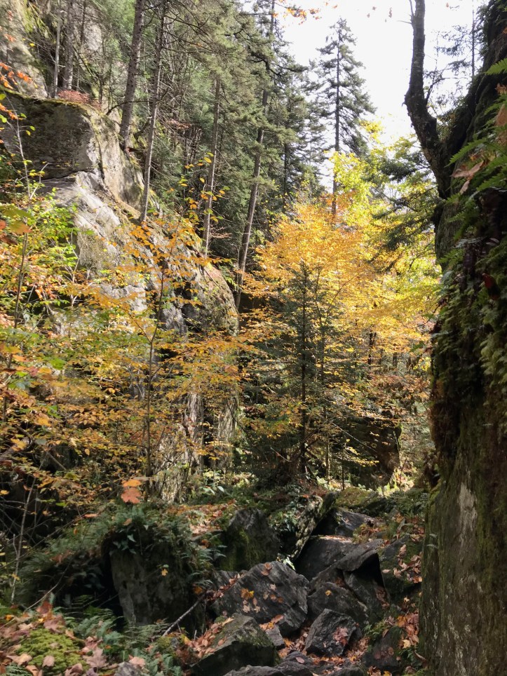
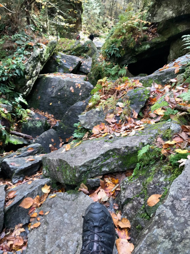
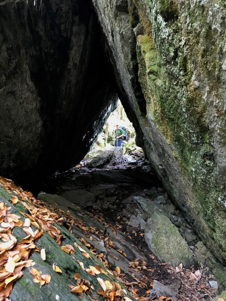
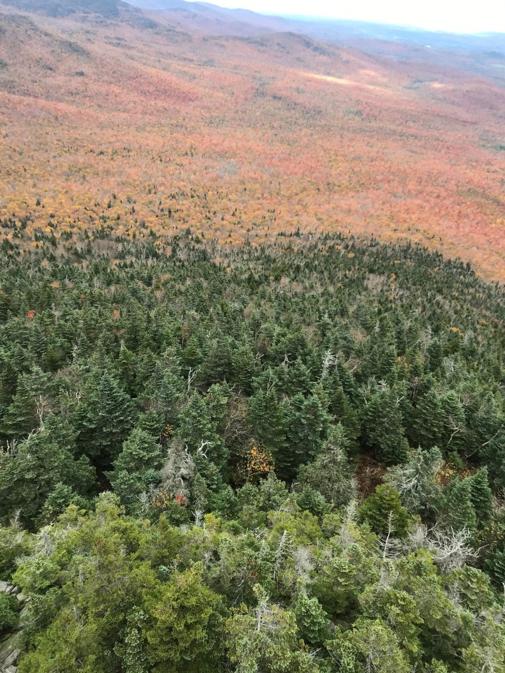
Great weather and a great hiking day, what with Devil’s Gulch and it’s mossy, misty mountain hop Zep IV vibe to the lofty heights of the fire tower on Belvedere Mountain, and great weather to boot (well at least not raining and decent visibility). Speaking of which the weather and the sights were enough to make me forget about my wet feet for a day. This was also a day that, despite the presence of these landmarks, started featuring the PUDS (pointless ups and downs!) that are prevalent over the final miles to the border. I mean, we bookended this section with Butternut, fine, and ended with Belvedere, more than fine, but that leaves us 1,200 feet of climbing… what, exactly?? But in any case, it was a beautiful fall day and we could start tasting the border, so all good.
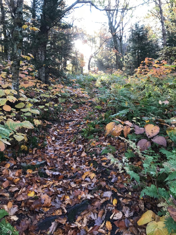
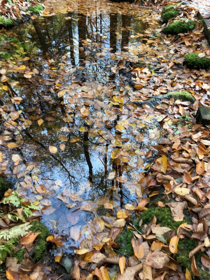
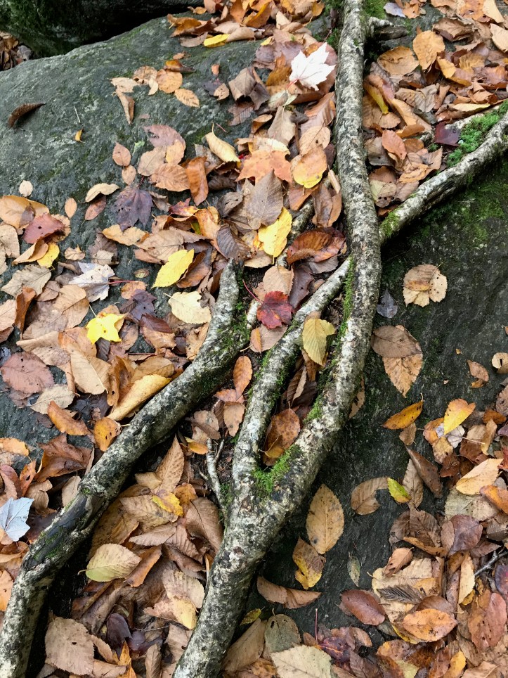
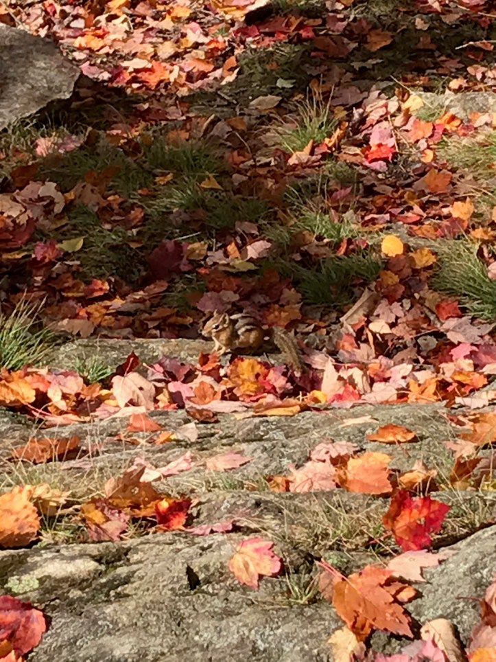
One element I started noticing a lot today was the leaf cover on the trail. We’re a bit past peak foliage up here, so the trail is pretty much blanketed for long stretches that turn from yellow to red to brown, etc. On the one hand it’s aesthetically more pleasing, I suppose than most rocks, dirt, or mud, but I was increasingly aware of two things: 1) leaves cover what I might call the micro-topography of the trail surface. You cannot see rocks up to the size of tennis balls say, nor roots, mud, etc, so for a Mister WeakAss Ankle like me, foot falls get a bit sketchy, and 2) precisely because I have to look down, I start getting a bit disoriented after a while – like a bit of vertigo (think of maybe watching a dotted lane divider or fence posts from your car for a while). I guess I’ve never hiked long distance in autumn before… live and learn!


A 360 vid spin from the Belvedere fire tower

Finally got a good beaver vid – slapping his tail on water to warn of danger – namely me. Lockwood Pond is the name, right above Tillotson Camp at about 2600 feet and about mile 248

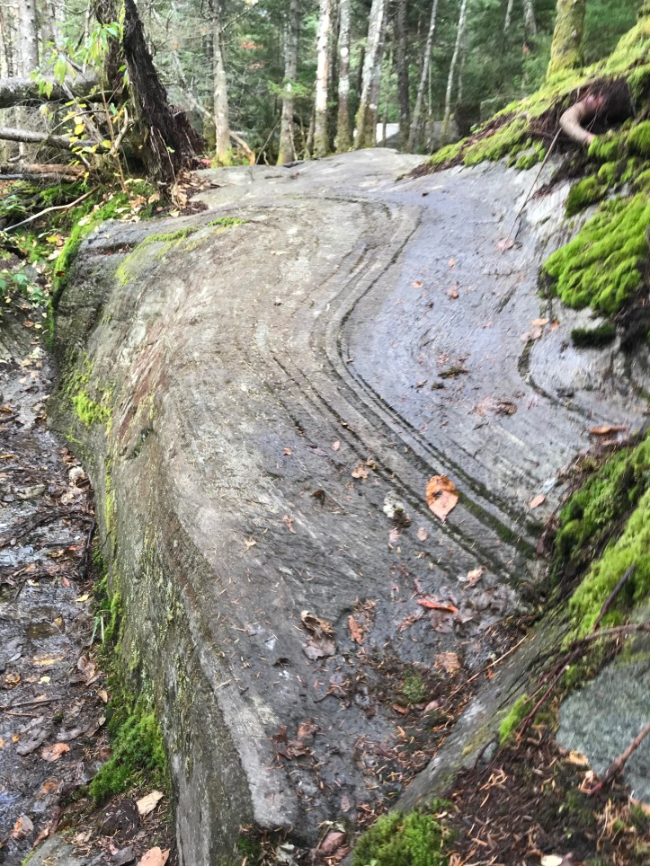
Devil’s Gulch looks very aptly named. Great place to break an ankle. But beautiful.
LikeLike